Today, we were able to get passes for a 10:00 a.m. entry into the park, to include the Bear Lake Corridor, which we hadn't yet been to. This is the most popular area of the park, and Bear Lake itself was so busy we ended up skipping it. Instead, we opted to hike around Sprague Lake, just down the road, a trail of 1.6 miles. It was beautiful, and we were very happy with our decision.
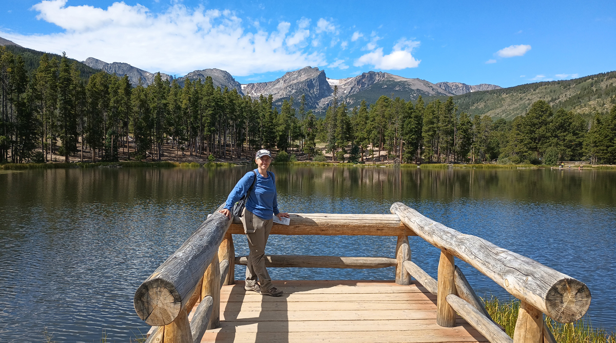
Jana at Sprague Lake
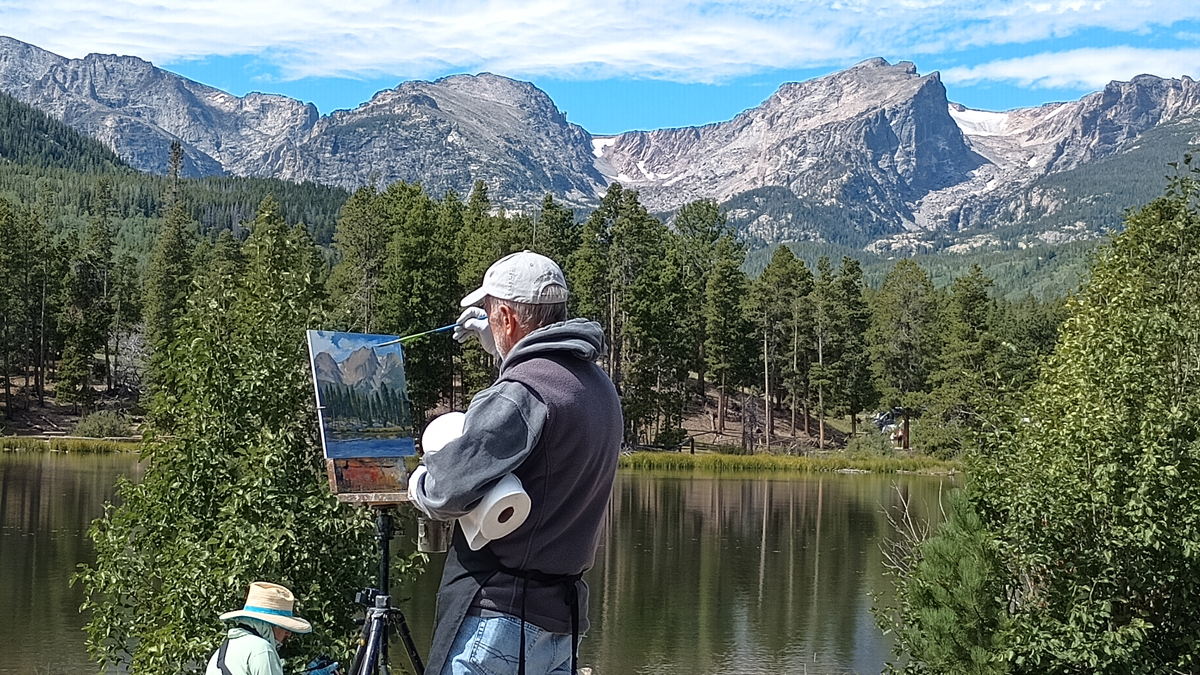
Pretty as a picture
Many of the Bear Lake Corridor parking areas were completely full, but we stopped where we could and found one unnamed trail next to a stream that we had all to ourselves. This is a gorgeous part of Rocky Mountain National Park, and it's no wonder it's so popular.
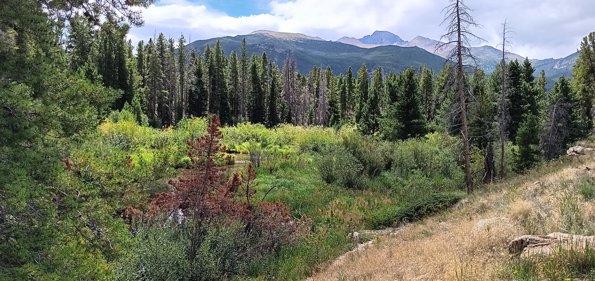
Secluded spot along the Bear Lake Corridor
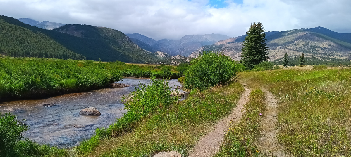
Moraine Park
After leaving the Bear Lake area, we drove west on Trail Ridge Road to hit the remaining points of interest we didn't get to yesterday. There were just a handful, and we wanted to catch them all.
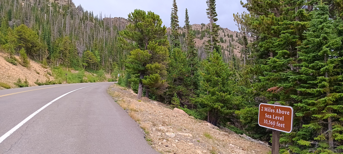
Two miles high on Trail Ridge Road
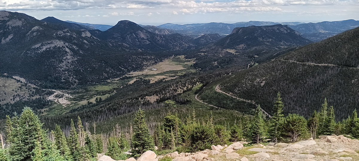
View from Rainbow Curve
The highest hike along Trail Ridge Road is the Tundra Communities Trail, a 1.6-mile round trip, with the high point at 12,304 feet. We did it, but it took a while. There are some great formations called Mushroom Rocks midway along the trail.
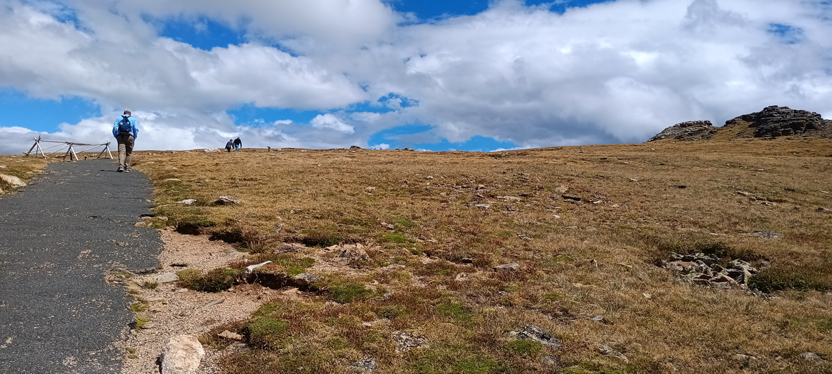
Tundra Communities Trail
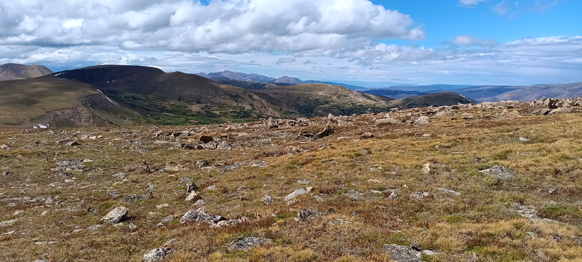
Alpine tundra
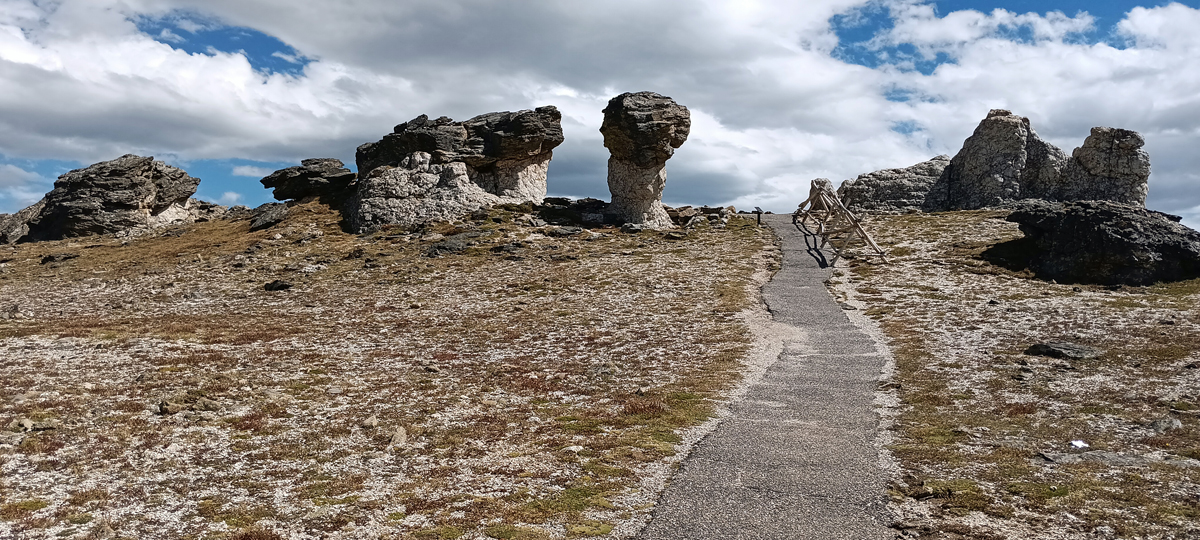
Mushroom Rocks
At the far end of the Tundra Communities Trail is a monument honoring former national park superindendent Roger Toll. The monument points toward various other national parks, the furthest being Acadia in Maine, 1,950 miles away. The sweeping views across the tundra at the trail's end were amazing!
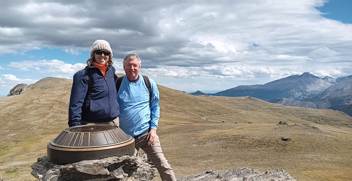
Jana and Tom at trail's end, 12,304 feet
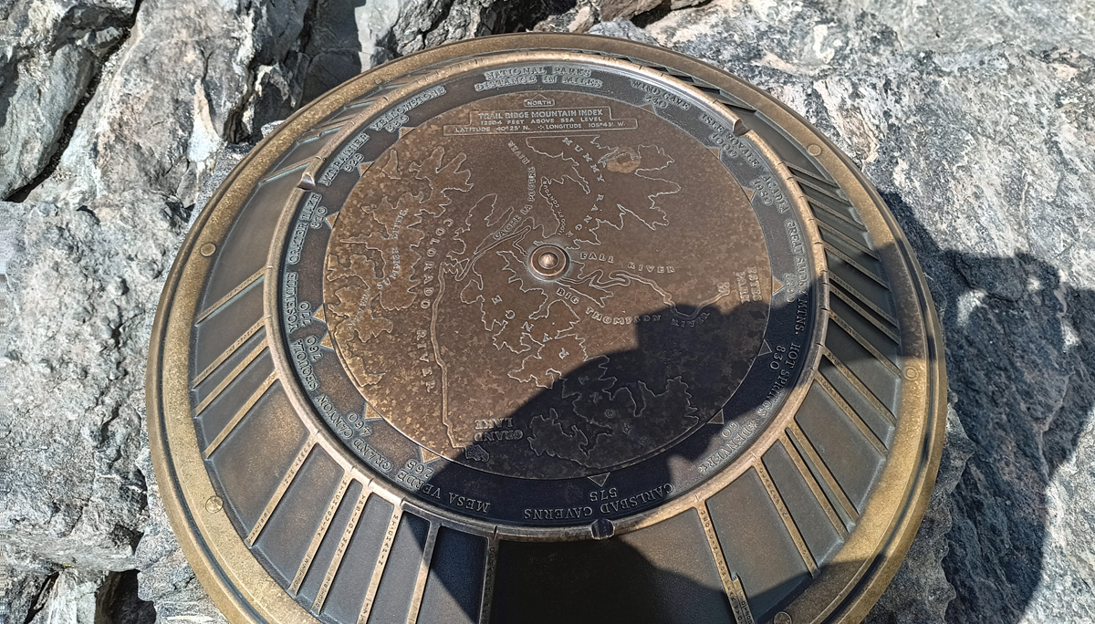
Roger Toll Memorial
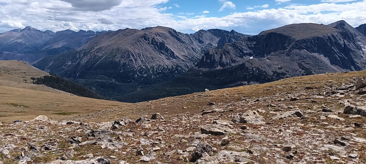
View from on high
We could see the rain approaching as we finished our hike, and it began shortly after we returned to the safety of the Jeep. The rain was very spotty, and we drove in and out of it a couple of times before leaving it behind for good.
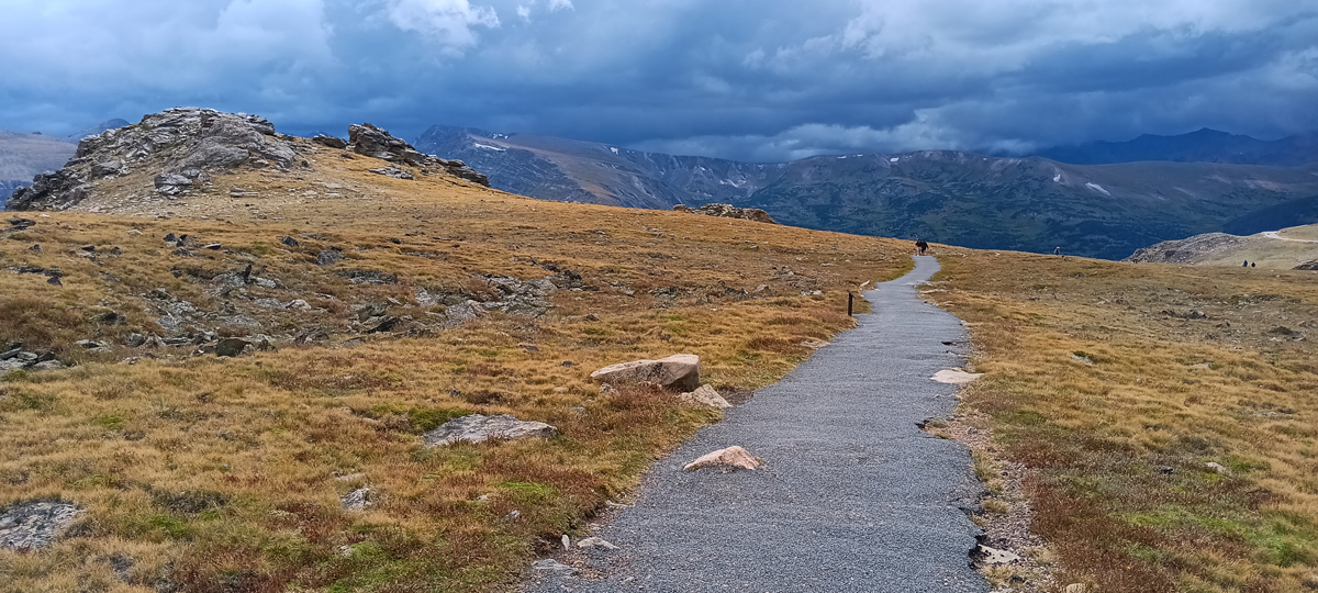
Foreboding sky
Lava Cliffs was our point furthest west today before turning around and heading back toward Estes Park. There was a snow patch nearby, and if it hadn't been raining, I would have walked over and retrieved a snowball as a souvenir.
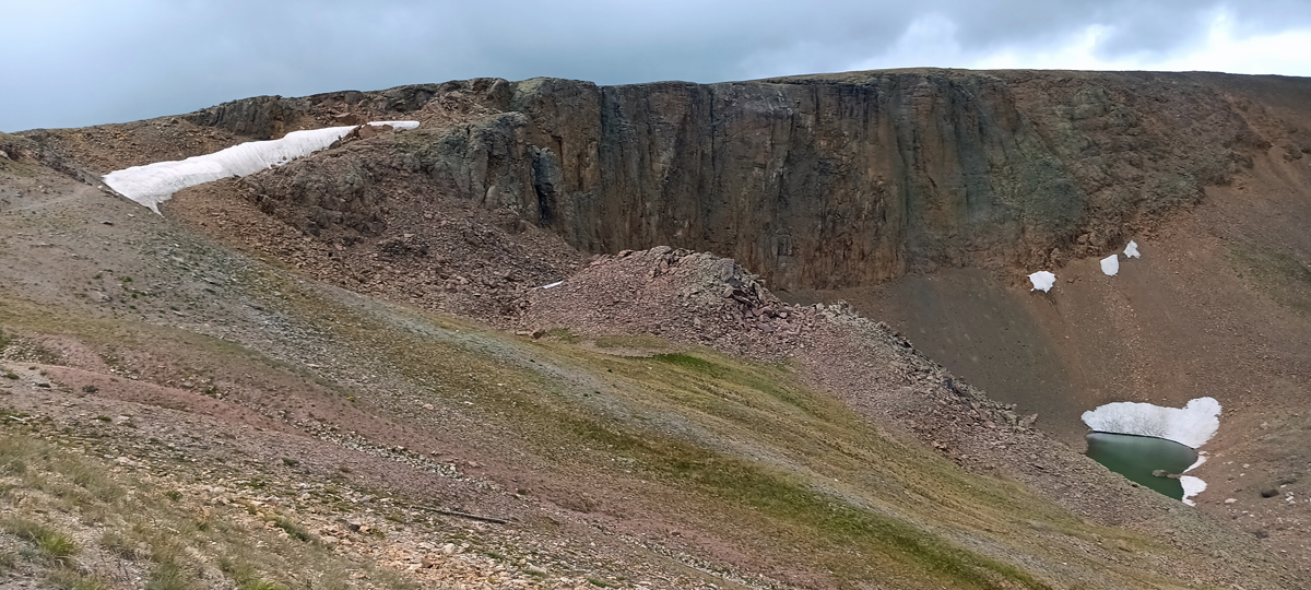
Lava Cliffs viewpoint
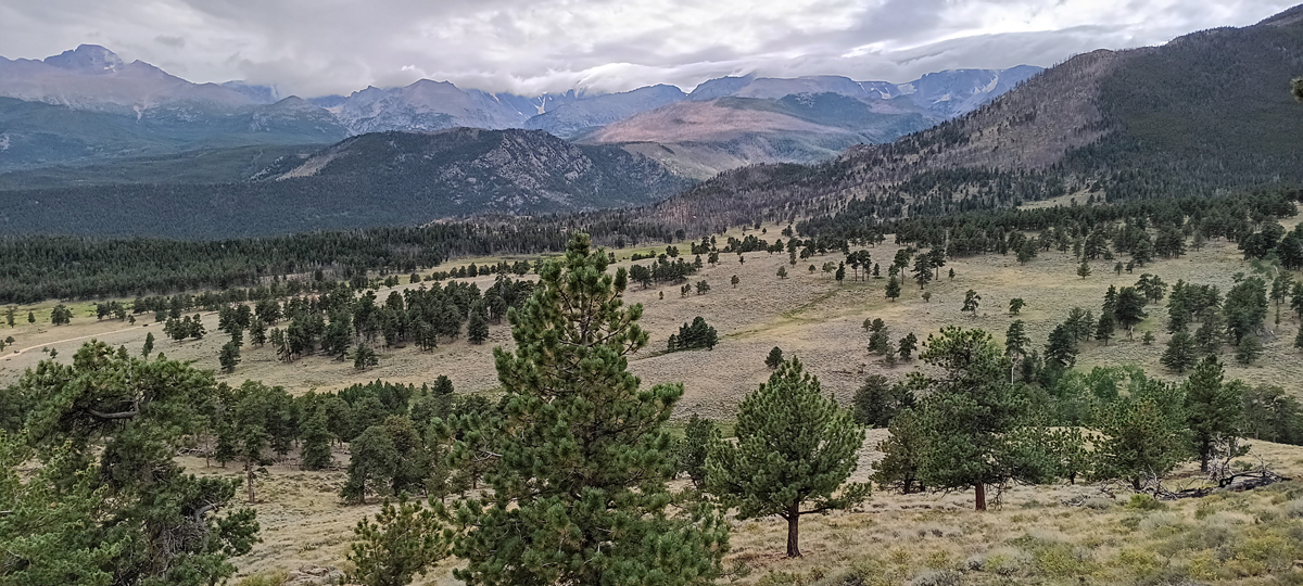
Another astonishing view along Trail Ridge Road
After exiting the park, we stopped at Mary's Lake. Interesting fact: The Colorado River begins on the west side of Rocky Mountain National Park, just north of Grand Lake. In the 1940s, a tunnel was dug through the mountains beneath the Continental Divide to divert water from the Colorado River in the west to the eastern Front Range of Colorado. At its deepest point, the tunnel is 3,800 feet below the surface. The tunnel's eastern outlet is at Mary's Lake, where water exits the tunnel with sufficient pressure to generate power to operate pumps on the western side, with an excess of electricity that can be sold. I can't believe they're diverting water from the dry west!
Mary's Lake tunnel outlet
A few miles south of Estes Park, we arrived at the Lily Lake Trailhead. Lily Lake is part of Rocky Mountain National Park but located in an outlying area. It's less than a mile to hike around the lake, and we were about halfway through when we came upon two moose getting a drink of water!
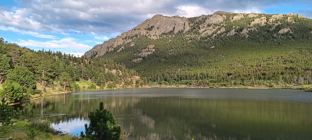
Lily Lake
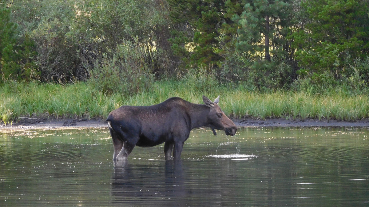
Moose!
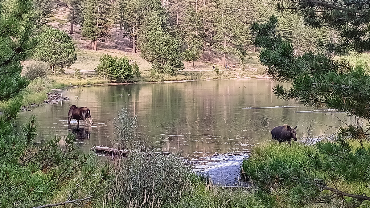
Meese!
While we were watching the moose, a deer came along, and the moose were not happy about it. The moose didn't seem to mind people, but the deer had them agitated and they quickly ran it off. That freaked me out because I didn't want to be near an agitated moose, but we gave them a very wide berth and eventually completed our circuit of the lake. So cool.
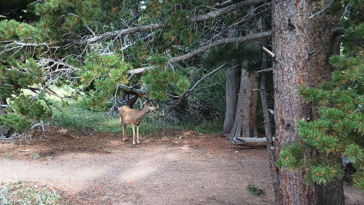
Little deer that bothered the big moose
Back in town, we picked up a 4-pack of dunkel from Avant Garde Aleworks before returning to the hotel to clean up. Later, we had dinner again at La Cocina de Mama. Last night was burritos, and tonight we had steak fajitas. Very, very good.