Friday, March 19, 2021
Alamogordo, New Mexico to Ruidoso, New Mexico
Highlights: White Sands National Park, the World's Largest Pistachio, Three Rivers Petroglyph Site, and historic Tularosa
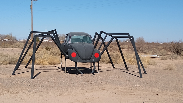
Roadside Alamogordo
White Sands National Park is 15 miles southwest of Alamogordo, within the White Sands Missile Range. I kid you not. Park guests are advised to plan their visit around periodic missile testing on the range that temporarily closes both US 70 and the national park. Inside the missile range is the Trinity Test Site, the location of the first detonation of a nuclear bomb in 1945.
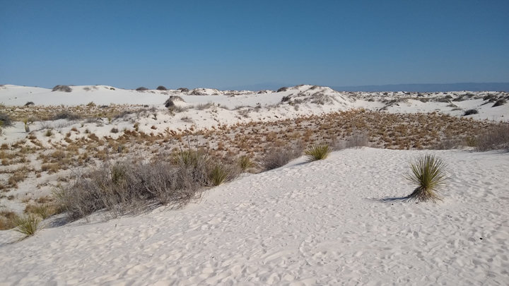
White Sands National Park
There are 275 square miles of gypsum sand dunes in the White Sands area, making this the largest dunefield of its kind in the world. The gypsum sand is very fine, cool to the touch, and a pleasure to walk through.
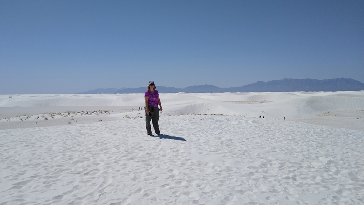
White sand, colorful Jana
We spent a couple of hours exploring and playing in the sand. I even tried sledding, a popular activity here, but the sand isn't as slick as snow, so it was kind of a bust. You probably need to be kid-sized to really make a go of it. It's a unique park, and I'm glad we made the effort to visit. The end of Dune Drive was the farthest point west on our trip, around 1,500 miles from home.
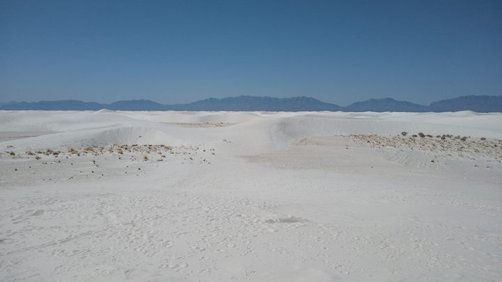
Wavy dunes of gypsum
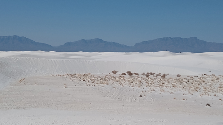
More white sand of White Sands
Just north of Alamogordo, the World's Largest Pistachio marks the entrance to PistachioLand, home to a 12,000-tree pistachio orchard and McGinn's Country Store. The 30-foot nut was as awesome as it sounds! We took the requisite pistachio pic and got some yummy ice cream.
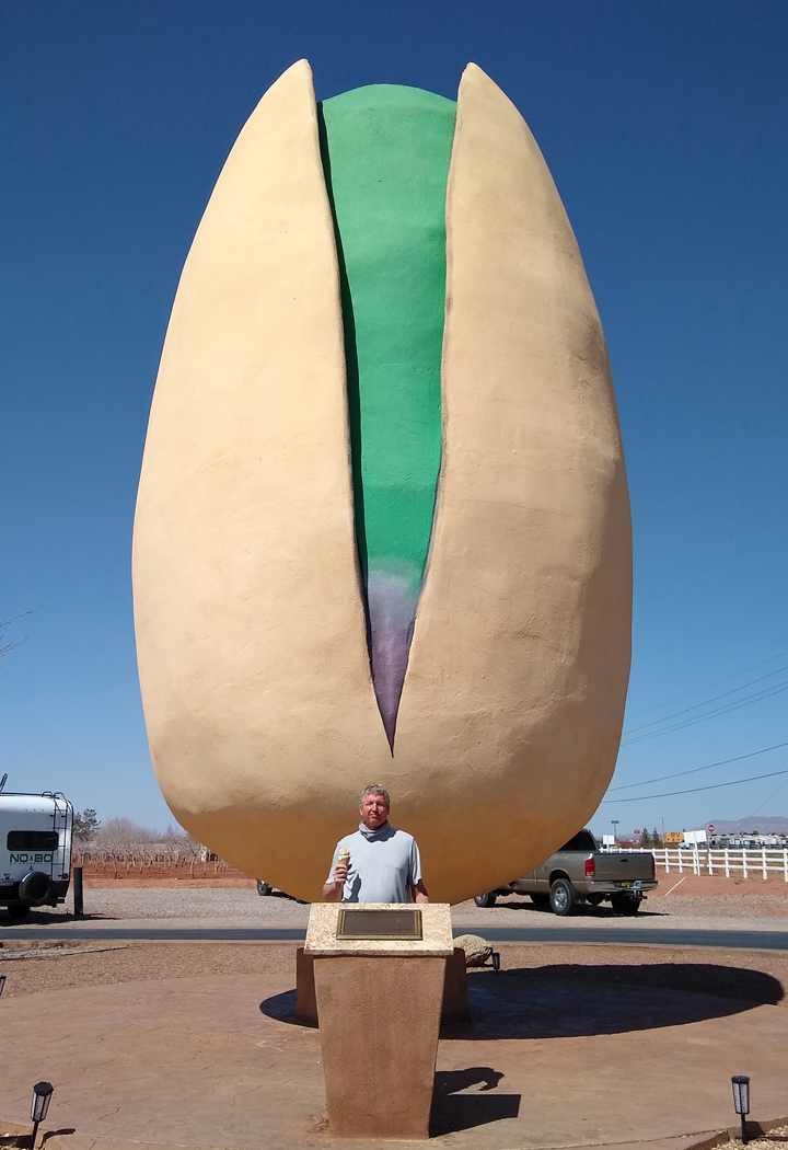
30-foot nut and 6-foot nut

Mmmmm... Ice cream!
Continuing north, we next visited the Three Rivers Petroglyph Site, where over 21,000 petroglyphs are found in only 50 acres. The rock art was created between 900 and 1400 AD by the Jornada Mogollon people, who are believed to have no modern descendants.
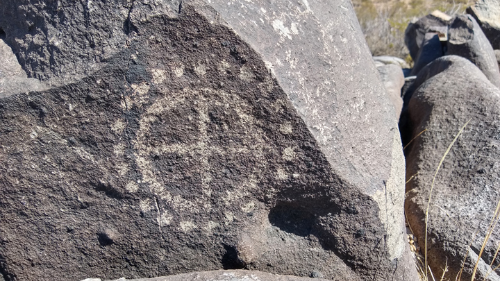
Three Rivers Petroglyph Site
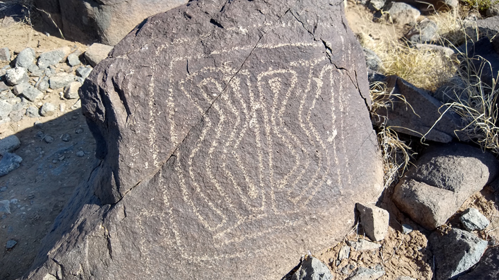
Over 21,000 petroglyphs
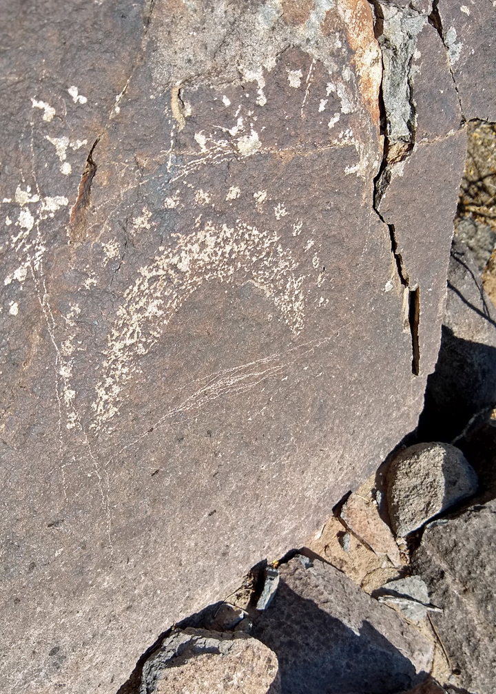
Images scratched into the rock patina
A marked trail at Three Rivers leads along a basaltic ridge where you can then wander off the trail among the rocks to find as many petroglyphs as your heart desires. We spent about an hour roaming the ridge, hiking about a mile in the process. It was a fun adventure off the beaten path.
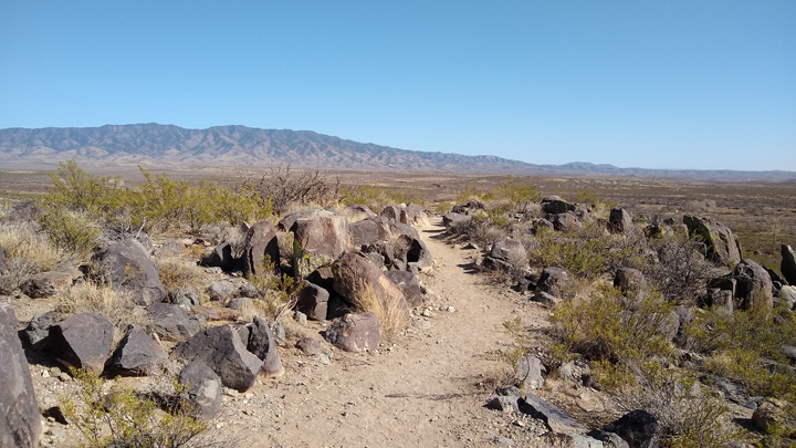
Petroglyph Trail
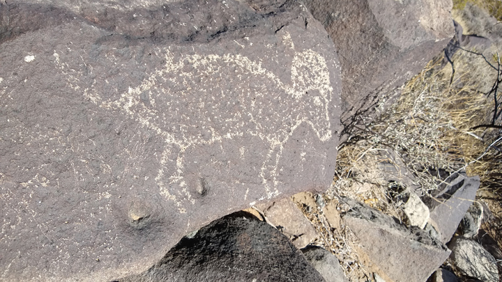
Bighorn sheep
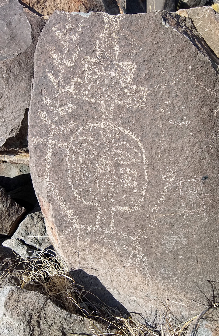
Art of the Jornada Mogollon
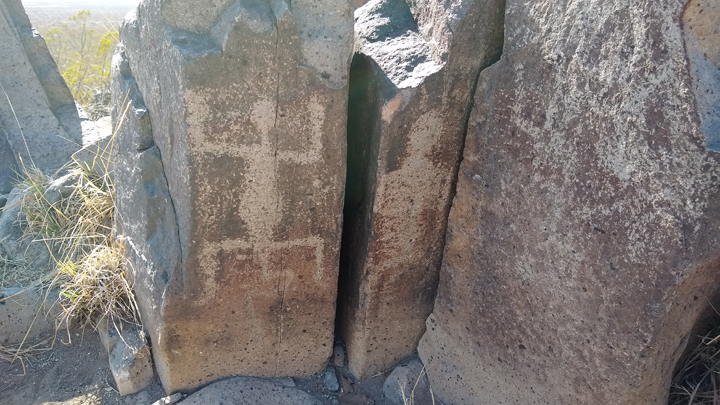
Various glyph motifs
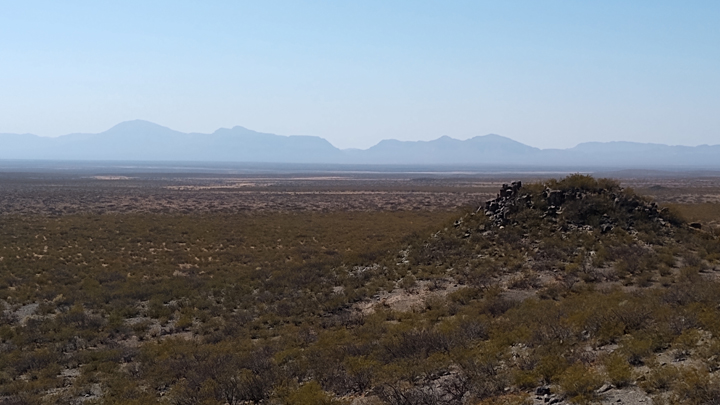
Tularosa Basin from the Petroglyph Trail
Next we happened upon the World Famous Three Rivers Trading Post. The old Ford Ranchero caught Tom's eye first, and when we pulled over for a picture, additional treasures abounded!
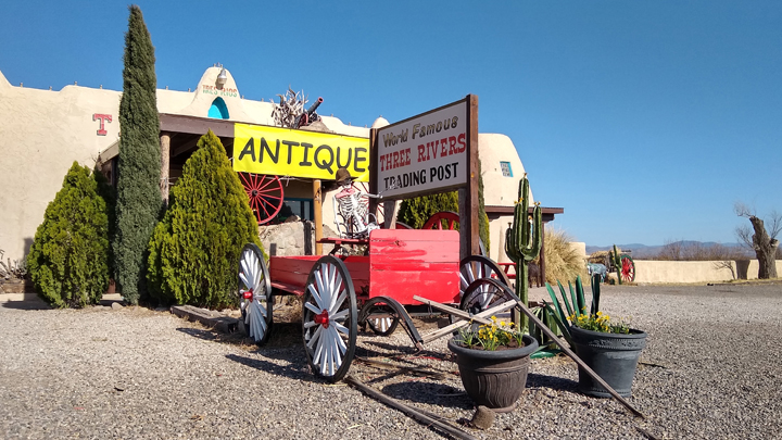
Roadside New Mexico
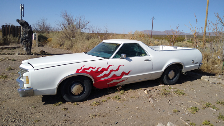
Flaming fast!
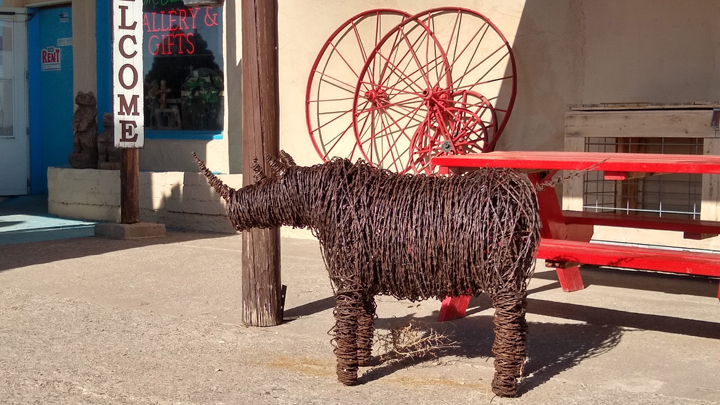
A barbed-wire rhinoceros. Why not?
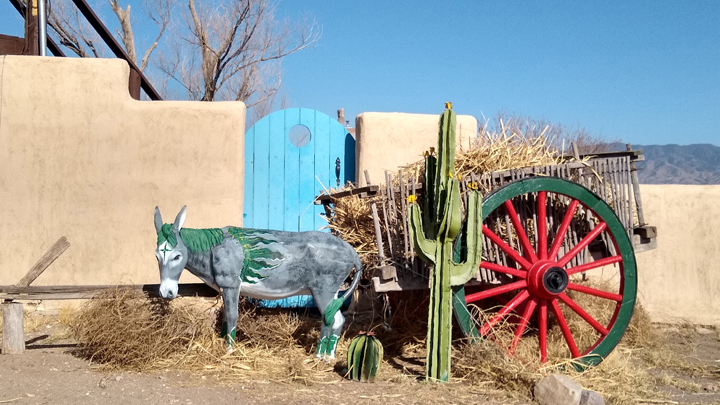
Wheel burro
In the village of Tularosa, the residents go to great effort to preserve the town's original adobe architecture. I fully admit to laying down on the sidewalk beside busy US 54 to perfectly frame my photo of St. Francis de Paula Catholic Church. I'm surely not the first person to do so.
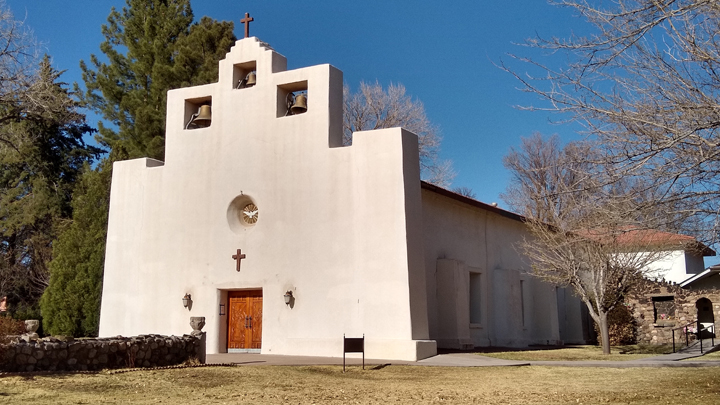
St. Francis de Paula Catholic Church
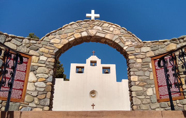
Tularosa, New Mexico
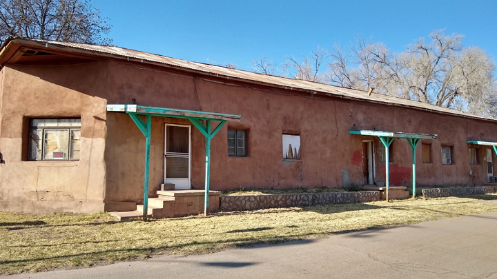
Historic adobe architecture
From Tularosa, we finally turned east, taking US 70 back through the Lincoln National Forest and into the Sacramento Mountains. We didn't get far before stopping for the night in the mountain town of Ruidoso.
Lodging: Super 8, Ruidoso, New Mexico. Being a Friday night, we were lucky to get one of the last overpriced rooms at the dirty, overpriced Super 8, with a rude-as-hell receptionist. On the bright side, the beds were comfortable, and we didn't have to sleep in the car.
We went for a drive after dark through Ruidoso's cute downtown. It has a mountain-chalet look, much like Gatlinburg, with pretty white Christmas lights strung all around. The restaurants looked crowded and we were tired, so we went back and nuked some dinner in our hotel room.
Driving distance: 153 miles, with many miles left to go!
|


