Tuesday, July 19, 2005 - Day 2 on the River
It got down to 79 degrees last night. I brought a little thermometer to use for nighttime temps. I couldn't use it in the day because the drybags just magnify the heat. The temperature wasn't bad since we had a breeze, but where Tom and I camped on a little hill, the breeze was more of a wind, and since we were on a beach, we got a bit sandblasted. Still, too much breeze is better than none.
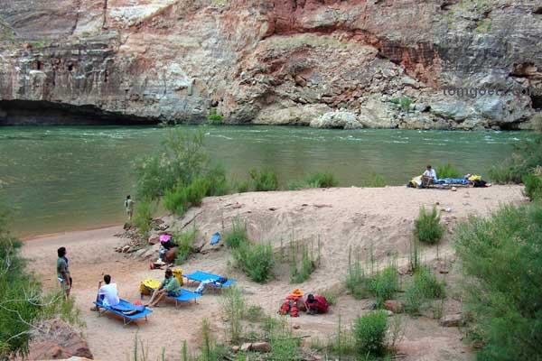
Our home in Nautaloid Canyon
The coffee was ready each morning between 5:30 and 6:00, served "cowboy style," with the grounds in it. There was a tea strainer available, so it was possible to remove most of the grounds. Good stuff. There was also orange juice each morning and hot water for cocoa or tea. I thought it was a little warm for that. For breakfast today we had omelets, English muffins, and melon.
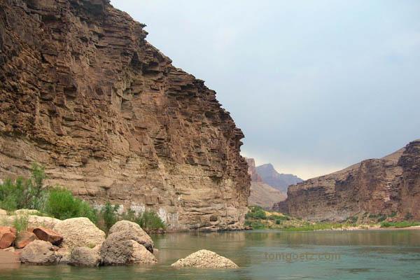
This camp has more shade than most, so we didn't have to rush out onto the river this a.m. In the summertime, as soon as the sun hits the beach, you want to be out of there. Chris was actually bored waiting around to board the raft, but I would be content just to sit and look at the canyon walls all day. The rock layers that make up the walls of the Grand Canyon range from 250 million years old at the top to over 1.8 billion years old at the bottom, about a third of the earth's age. Around every bend in the river the look of the canyon changes.
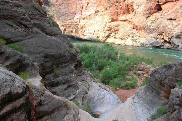
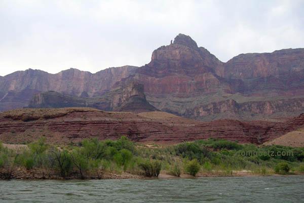
River scene from hike
Before we left our Nautaloid Canyon camp, we took a hike up the side canyon and examined some fossils and found tiny frogs and tadpoles in what I first thought was just a pool of stagnant water. It was a pretty straightforward hike except for one fancy little climbing move we had to make, but we all managed. Brian's ankle was bothering him, so he stayed behind.
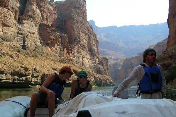
Our fearless crew - Cameron, Russ, and Dave
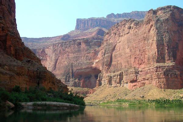
One of many canyon alcoves
Some river stats: Average depth 50 feet, deepest point 110 feet, average width 200-300 feet, narrowest point 76 feet, widest point 750 feet. The river drops 1,709 feet in 279 miles, a drop 25 times greater than the Mississippi River.
At mile 36 is the Bridge of Sighs, one of just a few Grand Canyon arches visible from the river. We ran a few rapids and watched some mule deer grazing on the bank.
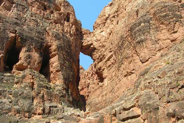
Bridge of Sighs
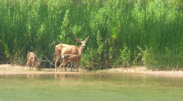
Family of mule deer
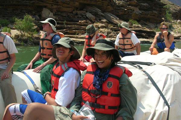
Jacob and Chris enjoy sitting in the suicide seats
We stopped for lunch a couple of miles upstream from the Little Colorado River, which is probably my favorite spot in the whole canyon. The Little Colorado was our first chance to get in some non-frigid water, and the turquoise river was beautiful and inviting.
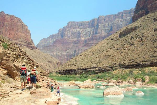
The Little Colorado River
We took a short hike upstream, then Cameron showed us how to put on our life jackets like pants (or more like diapers) and float the rapids. We spent a couple of hours here. It was wonderful.
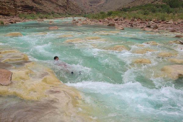
Swimming the rapids
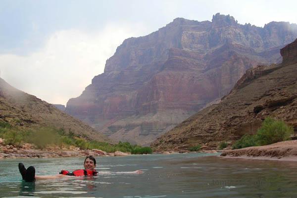
Jana relaxes
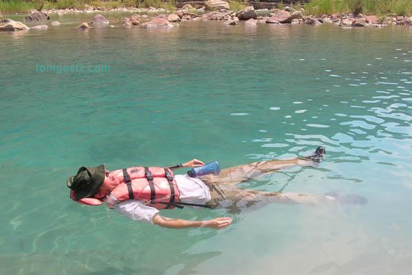
Tom is even more relaxed
Just before we left the Little Colorado, the sky turned cloudy and dark. Then back on the raft we ran some decent-sized rapids and got soaked to the skin with the 50-degree water. We were all cold, and many of us were shivering. Nobody was excited about being in the front of the boat at that point.
An overcast afternoon
Here we were traveling through the widest part of the inner gorge, where it's possible to see both the north and the south rim. This is the section of river we saw the day before yesterday from the north rim. Dave picked a campsite at about mile 72, just above Unkar Rapid, that he called "Surprise Camp," because from the river you can just see tamarisks and would never imagine there's a camp there. It was actually quite a big site - my second favorite so far!
"Surprise Camp"
Sausage and cheese and crackers for appetizers, then salmon, rice, and salad for dinner and Dutch-oven brownies for dessert. Yum!