From the Boonville Katy Depot, the trail leaves the original railbed and jogs northeast to cross the Missouri River via US Highway 40 before rejoining the original path on the other side. All our Missouri River bridge crossings – at Boonville, Jefferson City, and Hermann – had a protected pedestrian / bike lane.
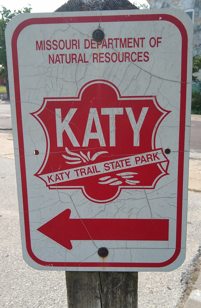
Trail goes thataway

From the US 40 bridge
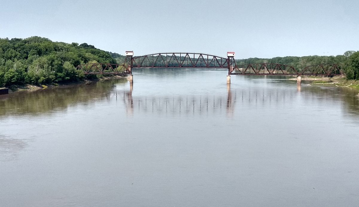
Boonville Katy Railroad Bridge
There's no convenient place to stop for lunch today, so we needed to bring our own. Snoddy's is a sort of grocery/general store with a nice deli right across the bridge north from Boonville. Their sandwiches are delicious, substantial, and dirt cheap!
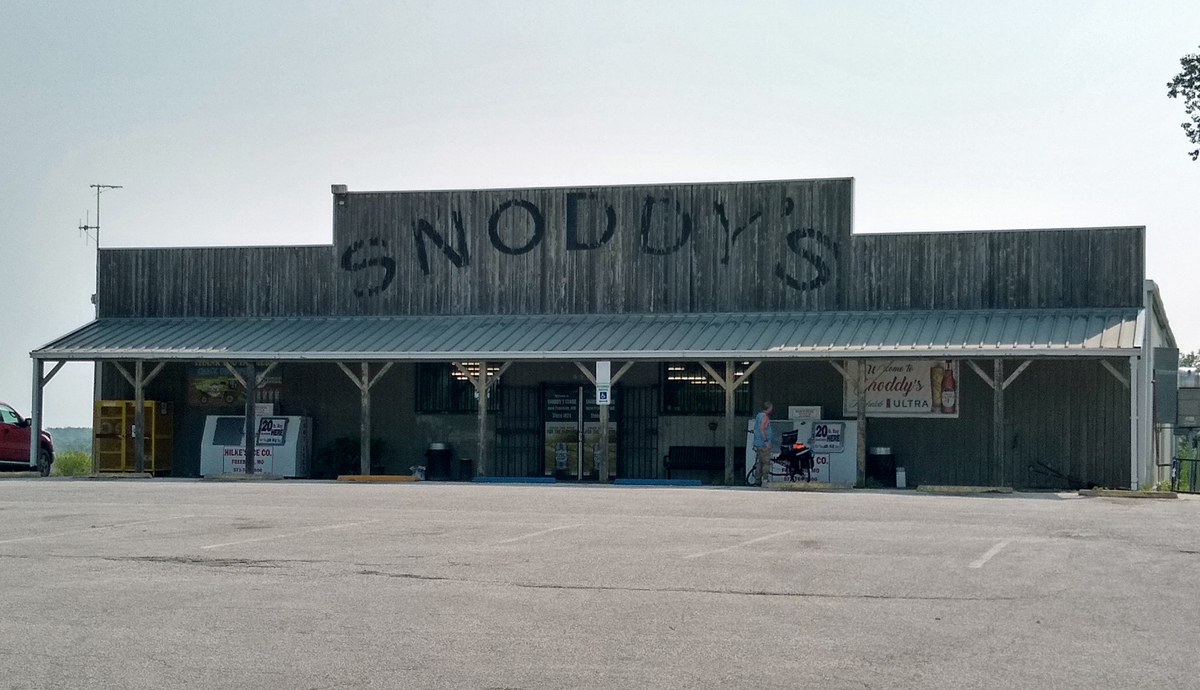
Snoddy's Store - pretty name
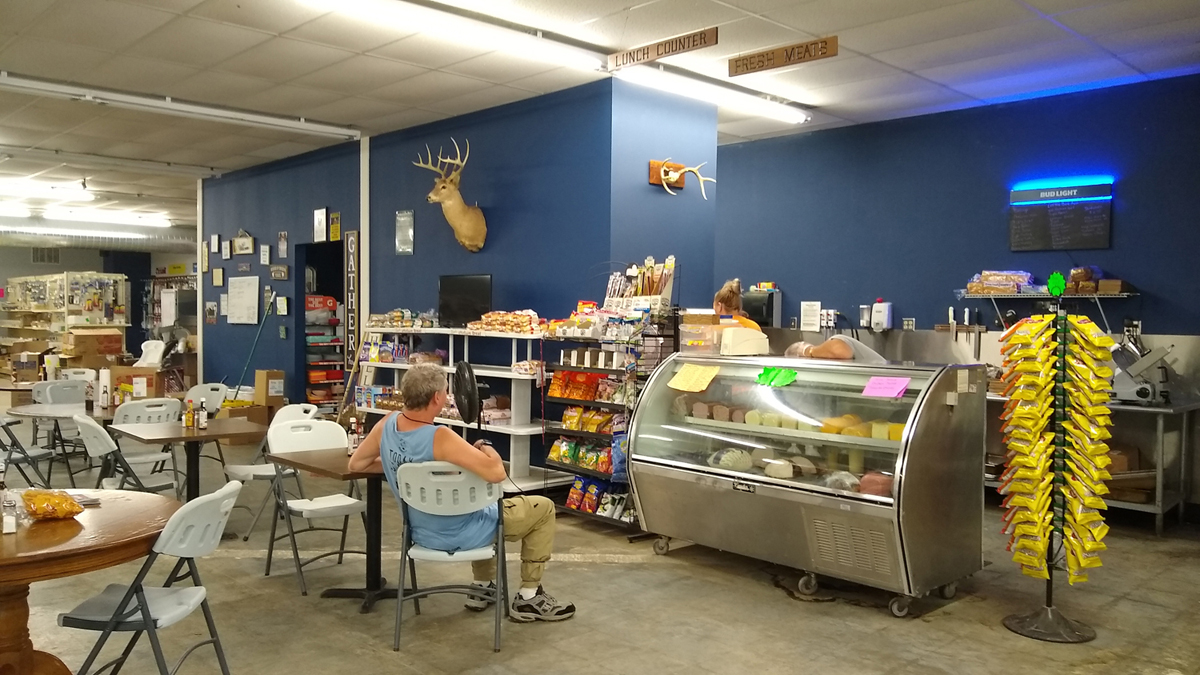
Awesome deli
Before this trip, our longest previous single-day bike ride was 50 miles (on my 50th birthday). This time, limited lodging choices were going to result in two 50-milers in a row. Today's ride at 53-miles-plus is the longest of all, and there are a lot of sights to see. Better get rolling!
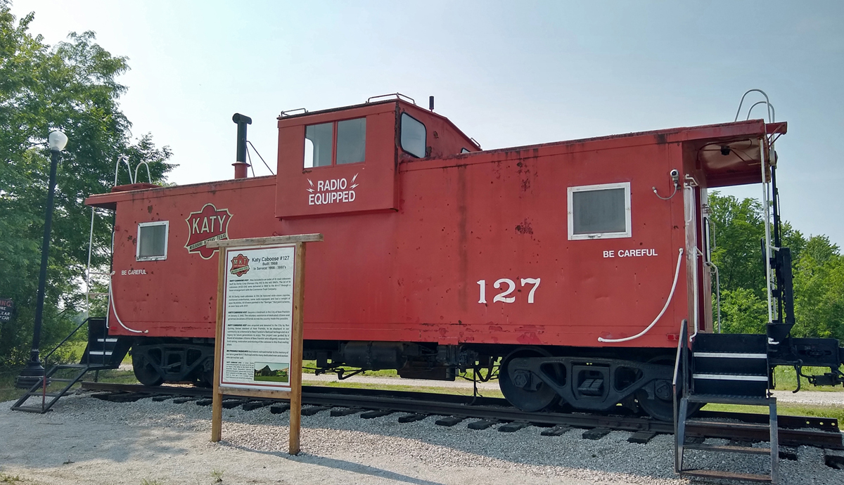
Katy caboose, New Franklin

First grain silos of the day
East of Boonville, the Katy Trail never strays more than a few hundred yards from the Missouri River, and the path is flat as a flitter (an old hill-country expression) for the next 165 miles. Yay! The first stretch today was all farmland and grain silos – in a good way.
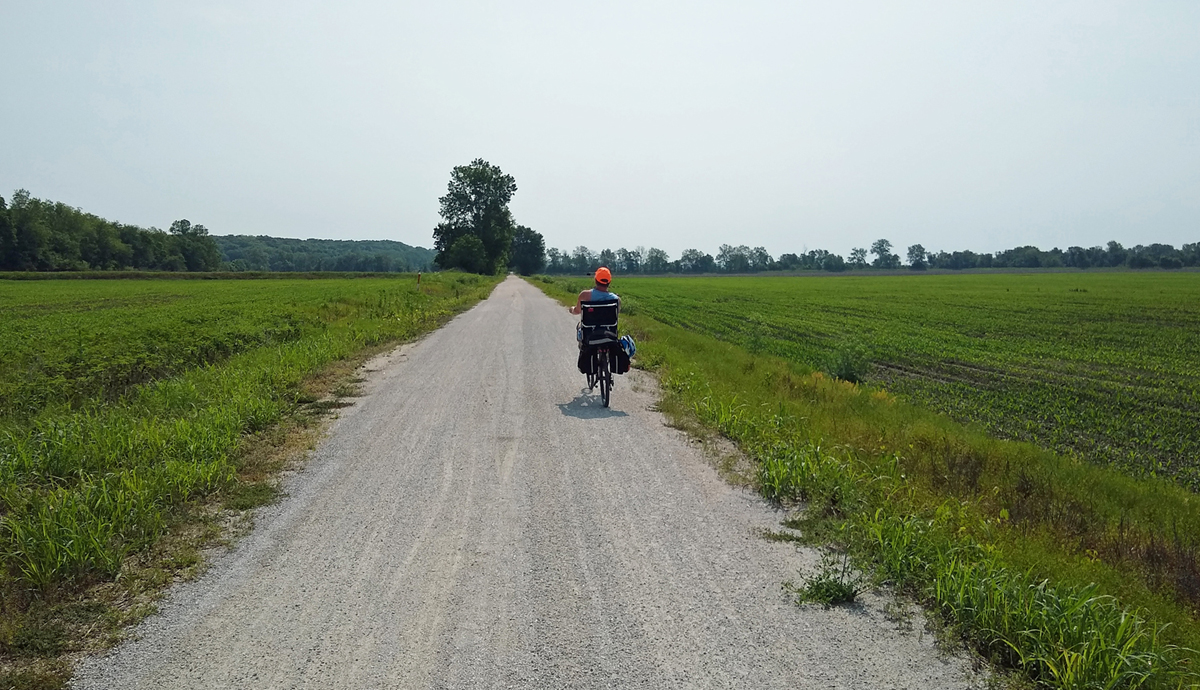
Riding through rich bottomland
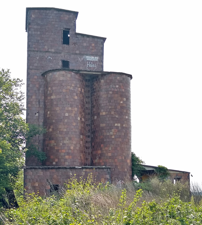
Clay-tile grain elevator, Pearsons
The most distinctive section of the Katy Trail runs for several miles on either side of Rocheport. On the west side of town is a 243-foot-long railroad tunnel, the only rock tunnel on the entire trail. 243 feet isn't terribly long, but the tunnel is quite picturesque.
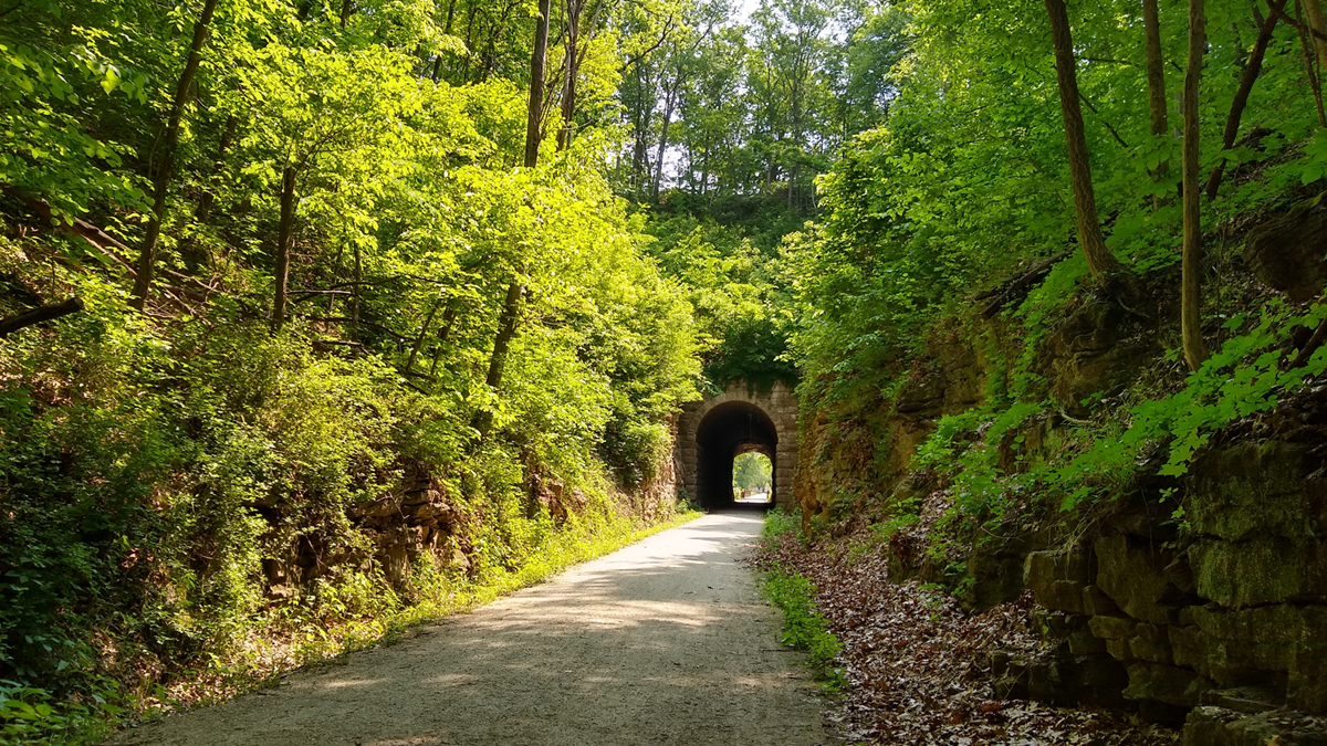
Rocheport Tunnel
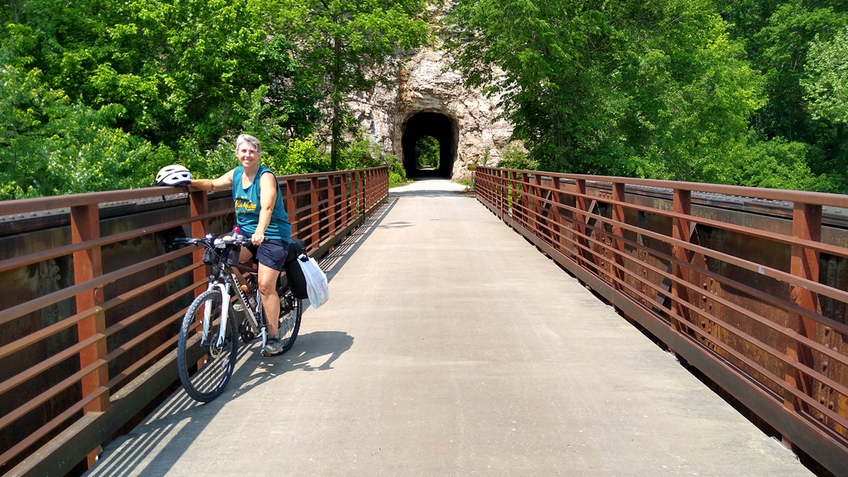
Jana enjoys the trail
East of Rocheport, the path hugs the river, beneath towering limestone bluffs. Much of the Katy Trail coincides with Lewis and Clark's path of exploration up the Missouri River after the U.S. purchase of the Louisiana Territory in 1803, and this area is mentioned extensively in their journals.
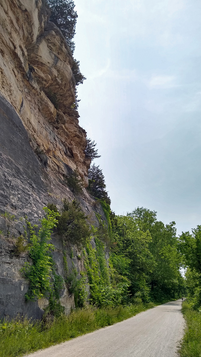
High limestone bluff
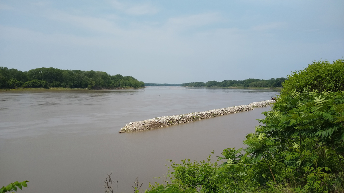
Missouri River breakwater
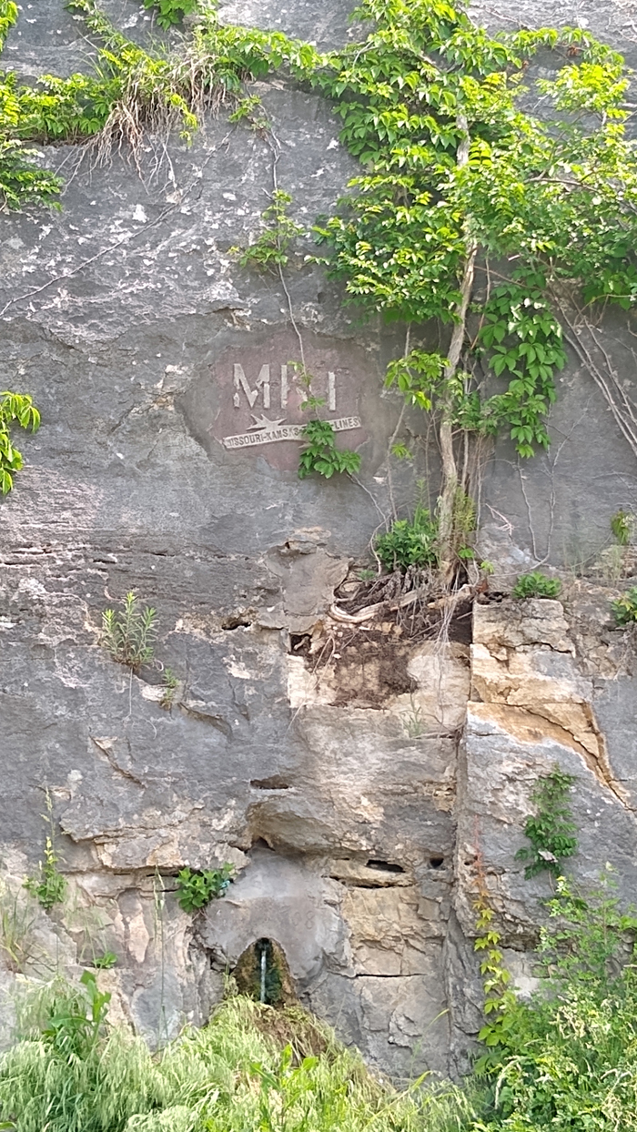
MKT logo carved in a bluff
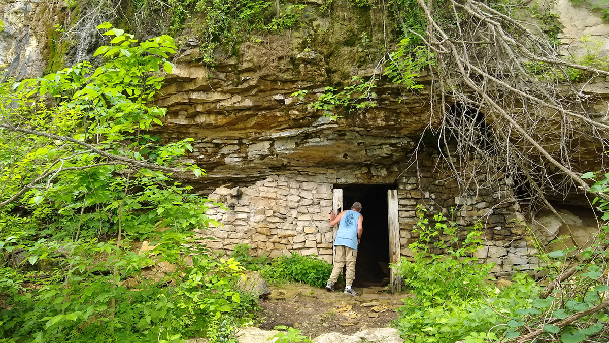
Railroad explosives bunker
Just before Cooper's Landing, we came to Boathenge, a set of six small fiberglass boats planted upright by the side of the trail – because what else are you going to do with a bunch of old boats? It didn't actually look like Stonehenge, though. More like Cadillac Ranch, in the Texas panhandle.

Boathenge
This afternoon's ride was absolutely gorgeous, with green fields and goldenrod and numerous creek crossings. The old iron truss bridges never fail to captivate.
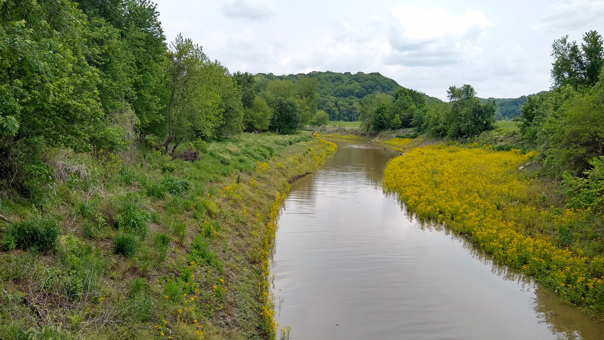
Creekside goldenrod

Cedar Creek Bridge
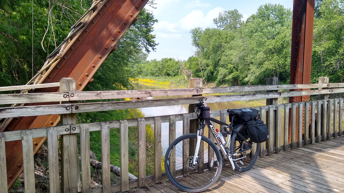
Picturesque place for a break
At the North Jefferson trailhead, we turned onto the Jefferson City Greenway Extension to make our way to Missouri's capital city for the night. Two miles later, we came to The Skywalk, a massive corkscrew ramp leading to a protected bike lane on the busy US Highway 54/63 bridge into the city. What a view!

The Skywalk ramp

Ascending The Skywalk
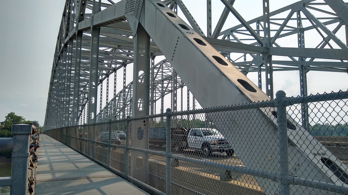
Jefferson City Bridge

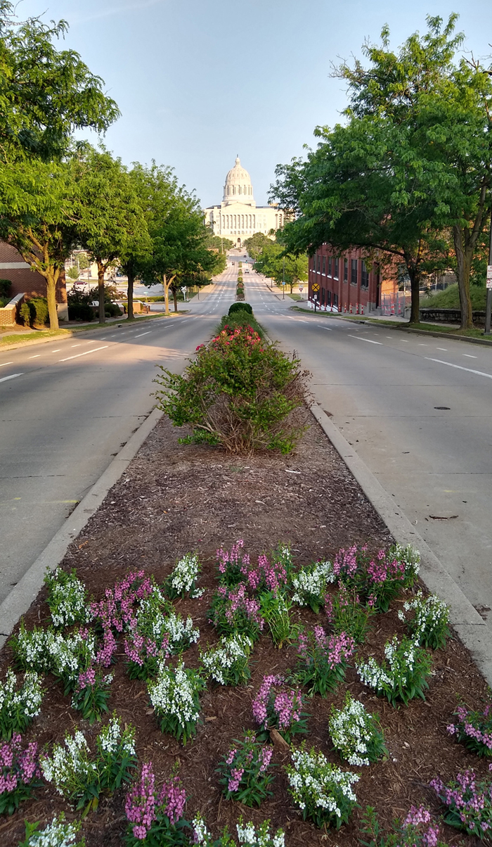
Missouri State Capitol
On the south side of the bridge in Jefferson City, we took an immediate left and rode less than half a block to reach tonight's lodging.
Lodging: Katy Trail Cottage, Jefferson City, a two-bedroom townhouse rental catering especially to Katy Trail riders. It was so nice! Once again, we were allowed to roll our bikes right inside. The place was huge, comfortable, and spotless. There were chocolates and ice cream left for us in the freezer and a much-needed washer and dryer in the basement. Just what the doctor ordered.

Katy Trail Cottage
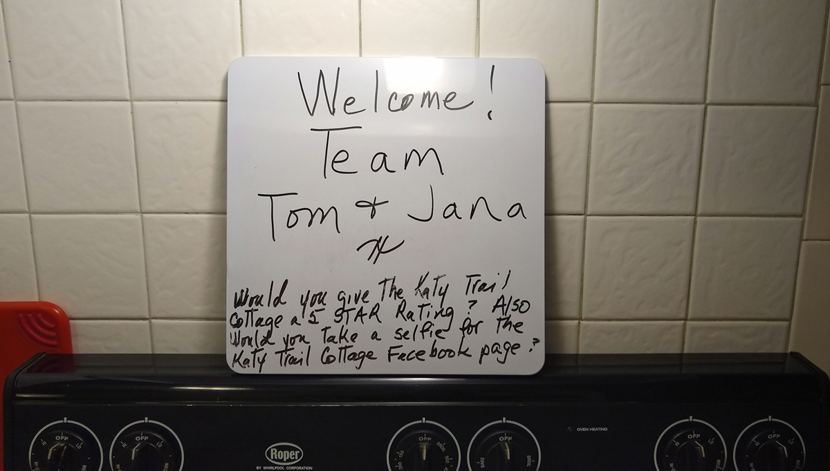
Personal touch
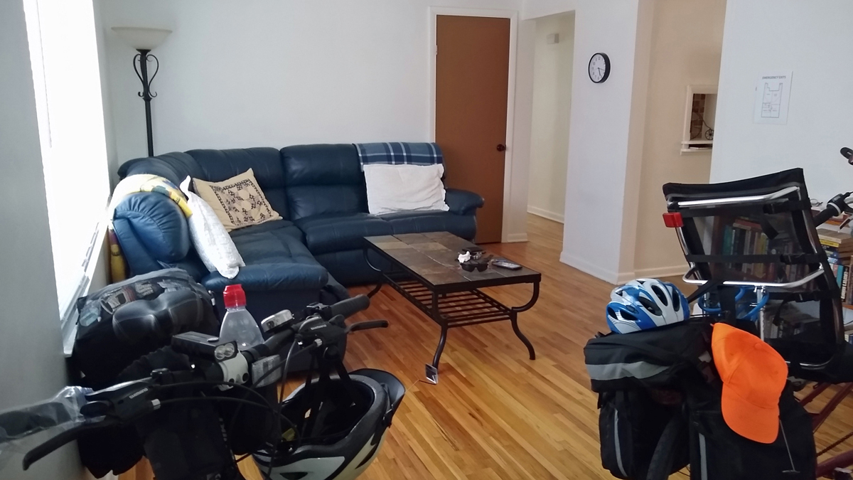
Spacious townhouse
Tom was worn out when we arrived, but I wasn't going to miss seeing the nearby sights. So while Tom rested up, Jana went walking. Right around the corner was a lookout point with a good view of the bridge we'd just crossed, and it was just another half mile downhill to the capitol building.

Jefferson City Bridge
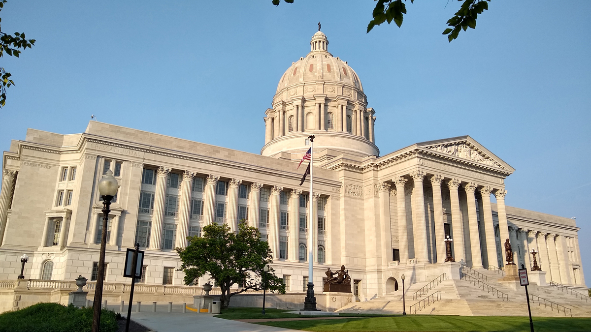
Missouri State Capitol

Bicentennial Bridge
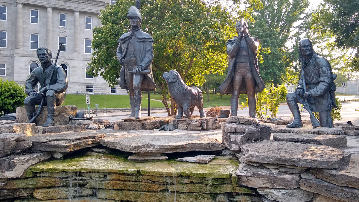
Lewis and Clark Monument

Jana and Lewis's dog Seaman
Paddy Malone's Irish Pub is half a block from the Katy Trail Cottage. How convenient! The shepherd's pie and bangers and mash were awesome. Since we were otherwise in a beer desert, we did all our drinking tonight at the pub. That turned into a bit of a pricey situation, but we got to talking with a local artist and had a really good time. YOLO!
View from outside the pub
Day 3 mileage: 53.3 miles, a personal record for us both!