Thursday, February 14, 2002 (Valentine's Day)
We took a taxi this morning to the "terrapuerta" (yes, they really call it that), checked our bags and climbed on board our bus for Puno. We climbed, climbed, climbed out of Arequipa, via Yura, and through the Reserva Nacional Salinas. Arequipa is at 8278ft/2524m, our highest point across the altiplano today will be 14,169ft/4320m, and our destination of Puno is at a breath-taking (literally) 12,562fet/3830m.
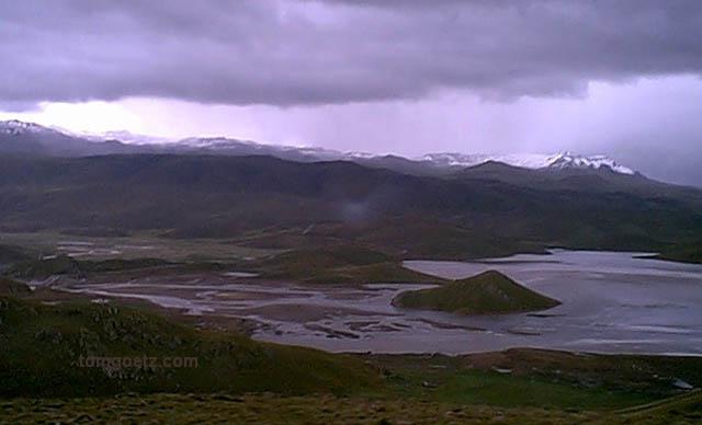
Lago en el Altiplano
The road crosses through some of the most stark and beautiful scenery we've ever seen. It was STUNNING! We saw lots of llamas and alpacas, only found in high elevations. We drove through clouds, rain, snow, and back into the sunshine. The highway is newly constructed, or I should say almost constructed. Most of it was paved, but they weren't quite finished, and the unpaved part was murderously rough. Thank you, Dramamine.
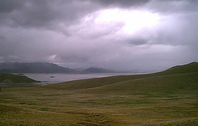
Otra Vista del Lago
Three and a half hours into our journey we stopped for food and peeing. You don't want to drink a lot and hop on a bus in Peru/Bolivia, because you don't get a lot of opportunities. In fact, women should probably try holding it until they get back to a first-world country, because the available facilities are not luxurious. Actually, sometimes they can barely be called facilities at all. Sanatarios they were not. For food we just purchased some crackers, although we saw that jawbone of "something" was also available.
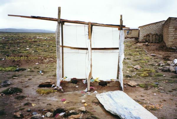
¿Sanitario?
We crossed Lago Lagunillas, which was beautiful. The scenery between Imata and Juliaca is spectacular. At one point we had to stop due to a mudslide covering the road, but they already had heavy equipment on site to clear it, and we were only delayed a few minutes. Juliaca itself looked okay until we got to the bus station area, where it became all mud.
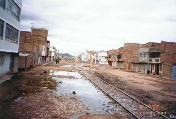
Beautiful Downtown Juliaca
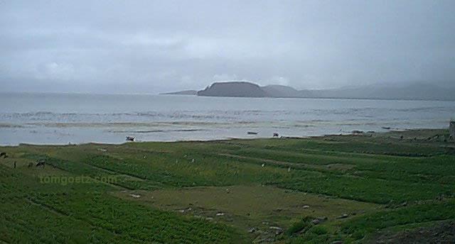
We got our first view of Lake Titicaca on our descent into Puno. Lake Titicaca is awesome. Here are some quick facts about the lake, gathered from a variety of sources and of course not verified. About half of Lake Titicaca resides in Peru and half in Bolivia. It is the highest navigable body of water in the world at 12,530ft/3820m. The lake covers 8,300 square km. Its average depth is 329ft/100m, with the deepest point at 922ft/281m. If someone falls into the lake, like a fisherman, it is traditional not to rescue them but to let them drown as an offering to the Earth Goddess Pachamama.
Lago Titicaca
Upon arrival in Puno, Olegario, who Tom met at a brief stop in Juliaca, hopped in a taxi with us and escorted us to the hotel of our choice. I'm sure he received a commission for this. Olegario spoke some English and works for a travel agency in Puno, Kollasoyo Tours, and we arranged with him to travel by bus to La Paz, Bolivia, via Desaguadero tomorrow. We had planned to go to Copacabana, Bolivia, for a couple of days, but the campesinos (farmers) had the roads blocked on that route. The campesinos are protesting the Bolivian government trying to eradicate the growing of coca.
There was a lot going on in Puno tonight. They were celebrating La Fiesta de la Virgin de la Candelaria, in honor of Puno's patron saint. There were multiple simultaneous parades marching and dancing in every direction. People wore colorful costumes and played music and danced wildly. We didn't know what the hell was going on. It was awesome! We were definitely experiencing sensory overload though, especially since we had very little oxygen in our brains at over 12,000 feet. We ducked into a restaurant for some food and some peace.
We returned to our room at the Hostal San Antonio, where I plugged in the television by poking two bare-ended wires into the wall. When in Rome... There's no heat, but we have lots of heavy blankets. Nowhere we stay on this trip will have heat or air conditioning, but if the locals can live their whole lives that way, surely we can handle three weeks of it.