Thursday, March 18, 2021
Van Horn, Texas to Alamogordo, New Mexico
Highlights: Salt Flat, Guadalupe National Park's McKittrick Canyon Nature Loop, Lincoln National Forest, and Cloudcroft's Mexican Canyon Trestle
We left Van Horn headed north toward the Guadalupe Mountains. Soon we passed by the West Texas Suborbital Launch Site, a spaceport owned by Jeff Bezo's Blue Origin company. If your test flight goes wrong out here, there's not much to crash into.
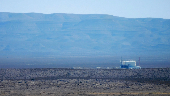
West Texas Suborbital Launch Site
A short sidetrack took us to Salt Flat, a one-building ghost town on a dry salt lake. It's hard to believe Salt Flat ever had a Greyhound bus stop. Or is it still a Greyhound bus stop??? Who would want to be dropped off here? Interesting.
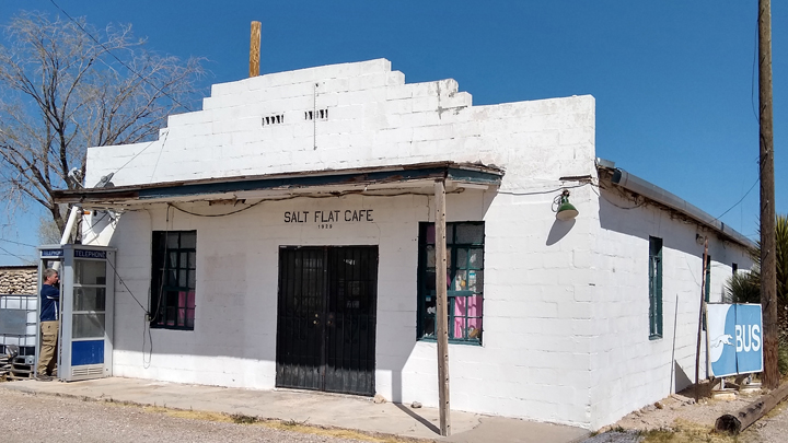
Tom calling from the last pay phone on earth
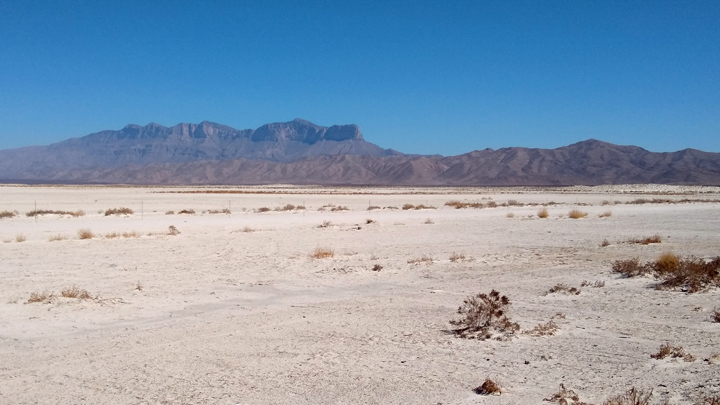
Guadelupe Mountains from Salt Flat
Anyway, back en route to Guadalupe Mountains National Park, home to the four tallest peaks in Texas, including Guadalupe Peak, the tallest of them all at 8,751 feet. My brother Brian and his son Jacob bagged this high point two years ago. Not wanting to be copycats, Tom and I chose a different trail.
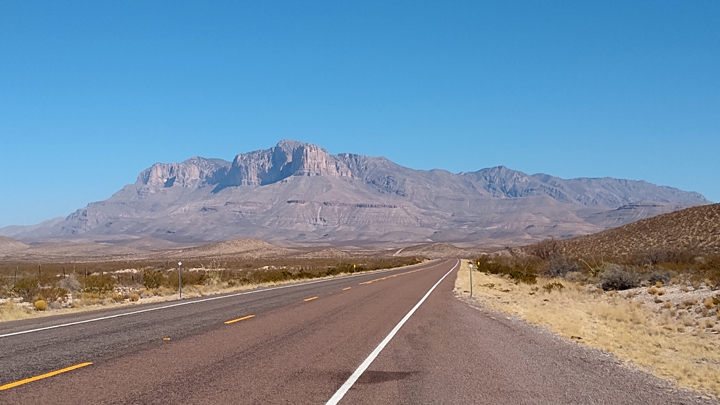
Guadalupe Peak, elevation 8,751 feet
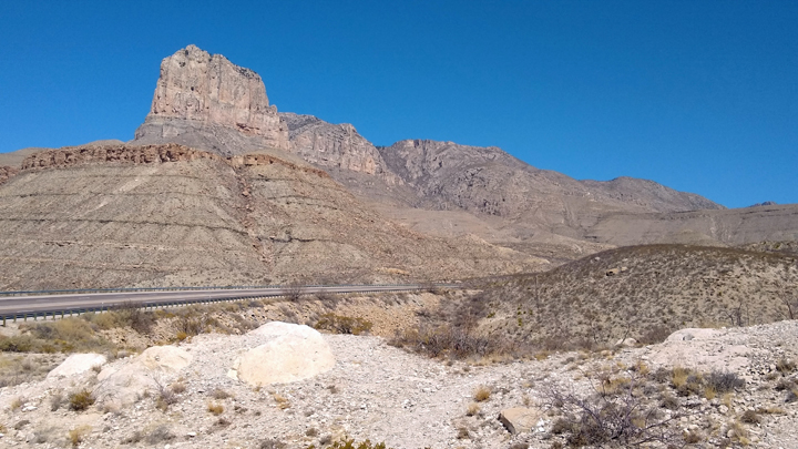
The distinctive El Capitan
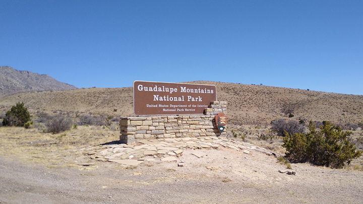
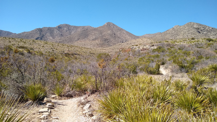
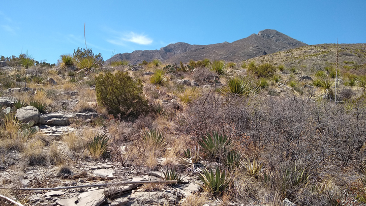
In lieu of the 8 1/2-mile hike to Guadalupe Peak, we entered the national park at the McKittrick Canyon entrance to hike the .9-mile McKittrick Canyon Nature Loop Trail, the shortest trail in the park! It's an enjoyable hillside hike along a dry wash, with markers describing the different desert plants along the way.
Home to the highest peak in Texas
McKittrick Canyon Nature Loop Trail
Along the loop
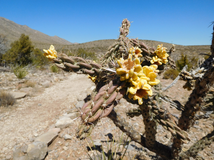
Colorful cactus
Back on the road, soon we entered New Mexico. Due to Covid protocols that the National Park Service has placed on visiting Carlsbad Caverns, that stop on our agenda is now off. A thousand people will crowd into the caverns tomorrow, but we won't be among them. We drove right on by.
We turned west at Artesia toward the Lincoln National Forest, where the road climbs steeply into the Sacramento Mountains. At the little ski town of Cloudcroft, 8,650 feet, we pulled over at the Mexican Canyon Trestle, part of a former railroad known as “the cloud-climbing route” because at this altitude, the train was often in the clouds.
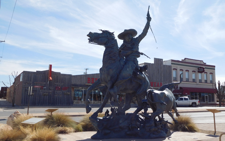
"The Vaquero," Artesia, New Mexico
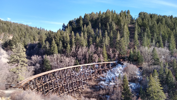
Mexican Canyon Trestle, Cloudcroft, New Mexico
Descending toward Alamogordo, the road enters a mountain and pops out at the amazing Tunnel Vista overlook, offering incredible views of the valley and all the way to White Sands. What a beautiful drive!
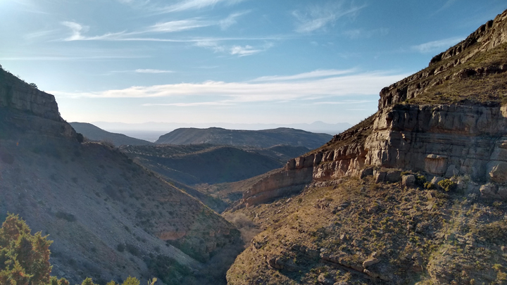
Tunnel Vista
Back down the mountain
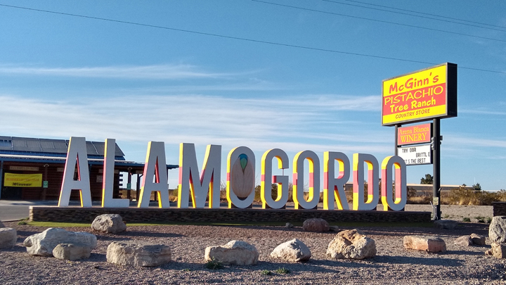
Lodging: Budget Inn, Alamogordo, New Mexico, a clean room with a king-sized bed. For dinner we had tacos at Picacho Brewing Company downtown.
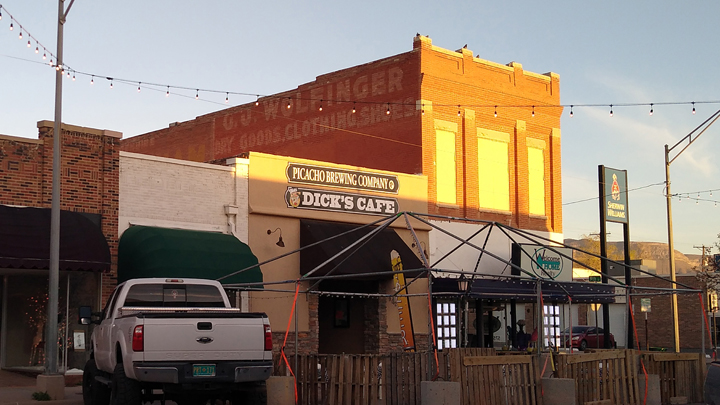
Beer and tacos in Alamogordo
Driving distance: 318 miles
|