Iceland Day 8 – Sunday, September 14, 2014
Northwest Iceland, Tröllaskagi Peninsula, Drangsnes
After another good and filling breakfast, we checked out of the
lovely Guesthouse Storu-Laugar and set out around 10:30, heading
west on the Ring Road. 60 kilometers later, we reached Akureyri,
the second largest “city” in Iceland, population 17,300, located at
the southern end of pretty Eyjafjordur, the longest fjord in
Iceland. The big city was too much hustle and bustle for us after
so many days in the countryside, so we just had a quick look around
and moved on.
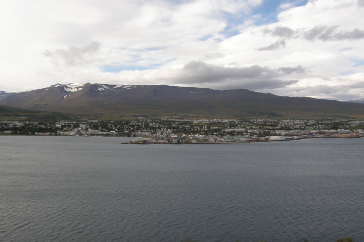
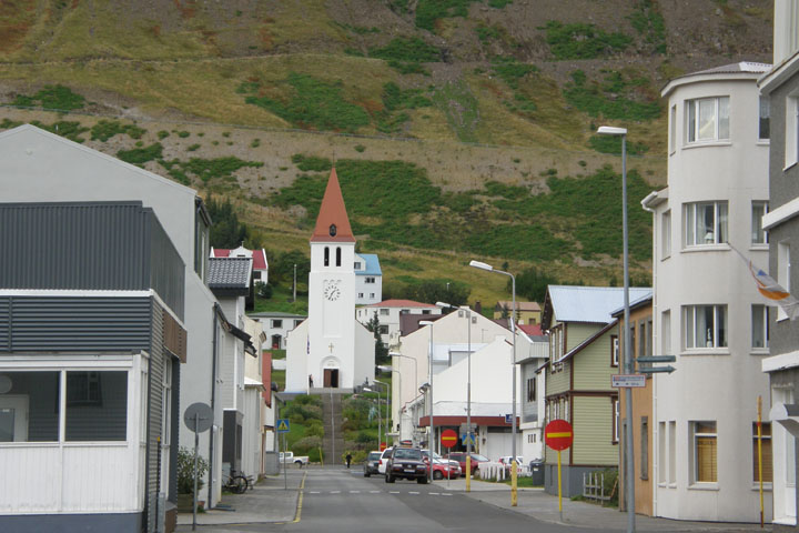
Akureyri
Eyjafjörður
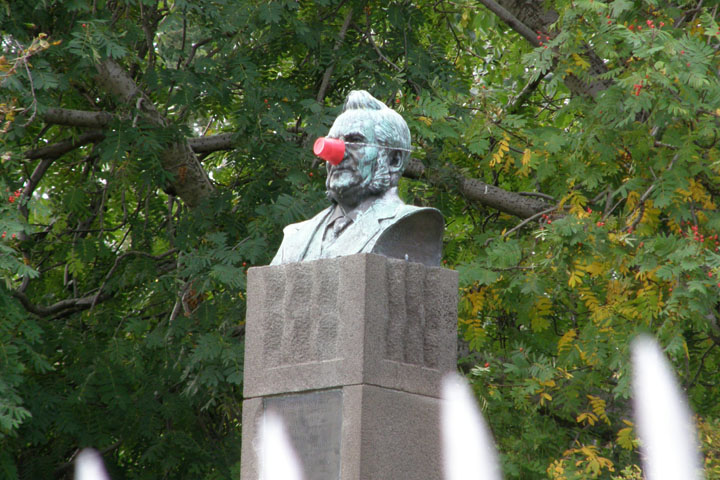
Statue in Lystigarðurinn, the most northern botanical garden in the
world
More Akureyri
statuary
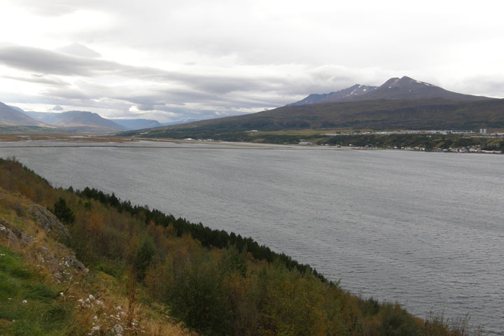
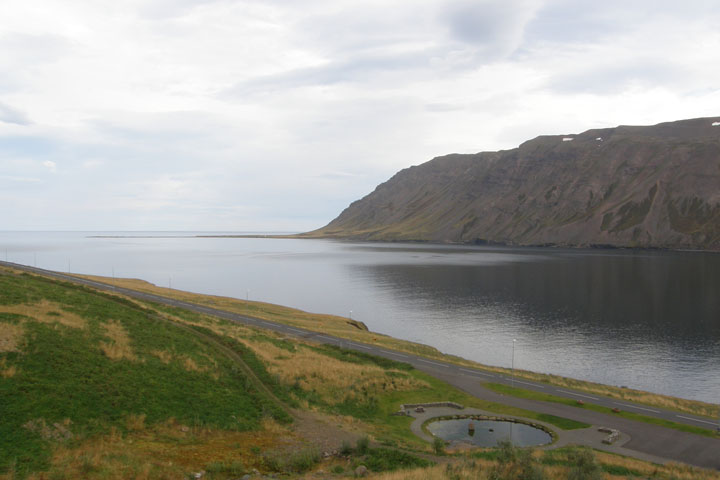
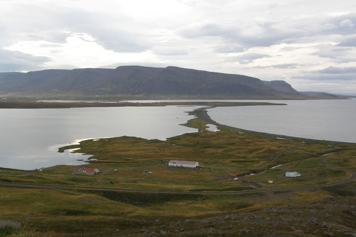
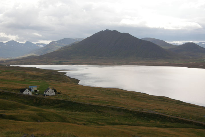
We left Highway 1 just past Akureyri to take the very scenic Routes
82 and 76 along the Trollaskagi Peninsula coastline, first along
Eyjafjordur, then the Arctic Ocean, where we could see all the way
to Grimsey Island on the Arctic Circle, and finally along
Skagafjordur, driving past craggy mountains, deep valleys, and
along steep cliffs with no guardrails.
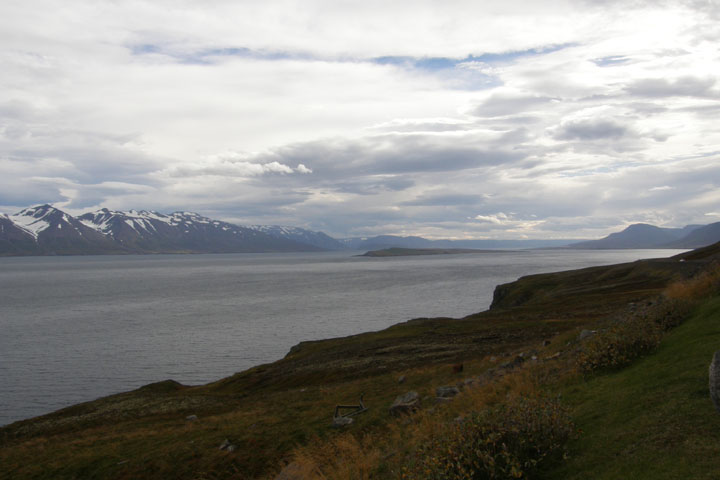
Eyjafjörður
Past the ferry town of Dalvik, we passed through a 3-kilometer
tunnel, popping out at the secluded little fishing town of
Olafsfjordur, population 920, located on a narrow and beautiful
fjord. Then we entered a 7-kilometer tunnel that took us to the
quiet and unpopulated Hedinsfjordur, and finally entered a
4-kilometer tunnel that led us to the picturesque town of
Siglufjordur. Luckily, we never met another vehicle in any of these
one-lane tunnels.
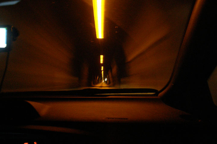
One-lane
tunnel
Ólafsfjörður
Héðinsfjörður
The tunnels connecting Olafsfjordur to Siglufjordur opened only in
2010. Before then, the towns were 62 kilometers apart by a road
that was only passable in the summer and 234 kilometers apart
during the winter, but now with the construction of the tunnels
through the mountains, they're only separated by 16 kilometers year
round.
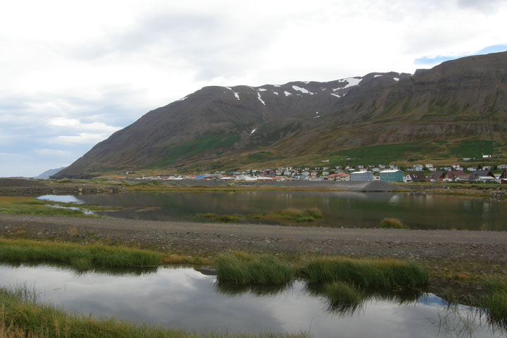
In the '60s Siglufjordur had a population of 10,000, but with the
disappearance of the herring, it's now dwindled to 1,360. But since
recently being more easily connected by tunnel to the outside
world, Siglufjordur is expecting a tourism boom and are in the
middle of building a large hotel. We watched a helicopter lifting
supplies up the mountainside above the town, working on avalanche
fencing in preparation for winter.
Siglufjörðurkirkja
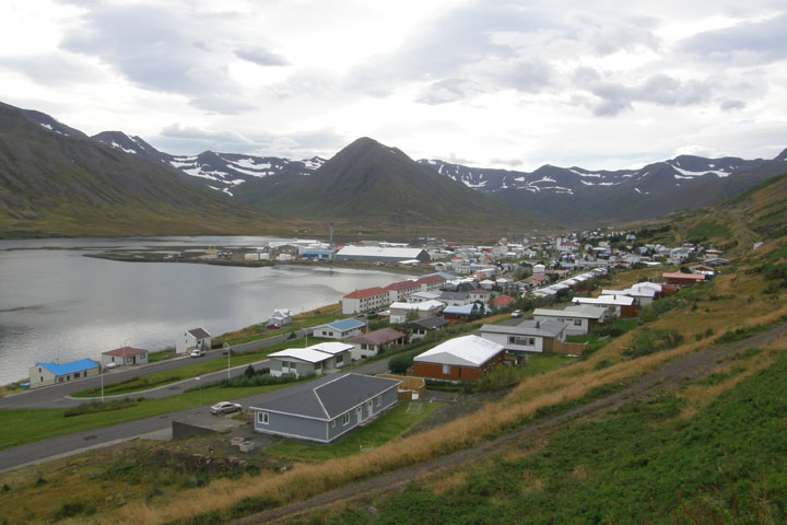
Siglufjörður
From above
Siglufjörður
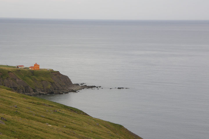
Sauðanes lighthouse,
outside Siglufjörður
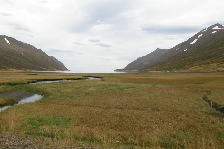
Leaving Siglufjordur, we drove south along the west side of the
Trollaskagi Peninsula, turned west on Rt. 75, passing through
Saudarkrokur and continuing west on Rt. 745, before returning to
the Ring Road at Blonduos. Once we left the peninsula, the roads
passed through rolling green hills and valleys, pretty but not as
interesting as we've come to expect from Iceland's dramatic
scenery. I told you I was getting spoiled. We got held up a short
bit through here by a sheep round-up, with a whole extended ranch
family, complete with a few sheep dogs, doing the herding. There
were sheep along both sides of the road and up the middle of the
highway!
Along the Tröllaskagi
Peninsula
A serene
scene
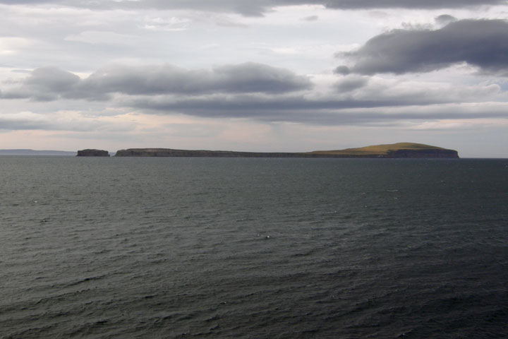
Málmey Island from the
Tröllaskagi Peninsula
In Blonduos we spotted another interesting church, in a country
full of interesting churches. Of course, we stopped to take a
picture. Occasionally, a polar bear will drift over to Iceland from
Greenland on a chunk of sea ice. When that happens, due to the
currents, they usually come ashore in the area around Blonduos. So
we kept our eyes peeled!
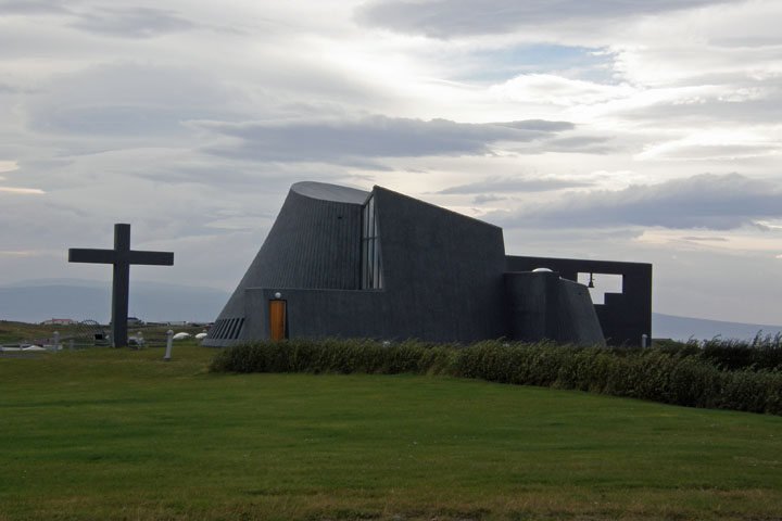
Blönduóskirkja
We got gas in Bru and then left the Ring Road to go north on 61
into the Westfjords. Just past Holmavik, where we replenished our
groceries, we turned right on the road less traveled (Rt. 643)
toward the tiny fishing village of Drangsnes, population 80. The
gravel road was steep, winding, narrow, lacking guardrails, and
beautiful! It was brutally windy this afternoon. We had to guard
against losing our doors whenever we stepped out of the car.
The foreboding
Westfjords
Finally we arrived in Drangsnes at 7:30 p.m., after spending the
better part of nine hours in the car. Even with all the scenery, it
got a bit tedious, but at least we'd put about 250 kilometers
between us and the erupting volcano and its noxious plume of
SO2.
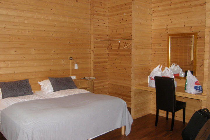
Tonight's room was at Malarhorn Guesthouse. This is the only room we
booked without its own facilities, because there was a huge price
difference to get our own bath, but when we checked in, we were
told a room with a shared bath wasn't available, so if we didn't
mind, they had an ensuite room for us instead at the same price,
$101. Score! I don't know why the room wasn't available, as the
place was practically deserted, but who cares? The room we got was
large and nice.
Malarhorn
Guesthouse
The change in rooms also meant we didn't have access to the shared
kitchen we were expecting, but there was a kettle in the room, so
we were able to cook our ramen noodles to accompany our sandwiches
anyway. It turns out Malarhorn's restaurant was open, but we didn't
even check to see what they were serving tonight. I wasn't
expecting the restaurant to be open this time of year. There's
nowhere else to eat in this little village, though, and no grocery
store either, so I guess they try to accommodate their guests.
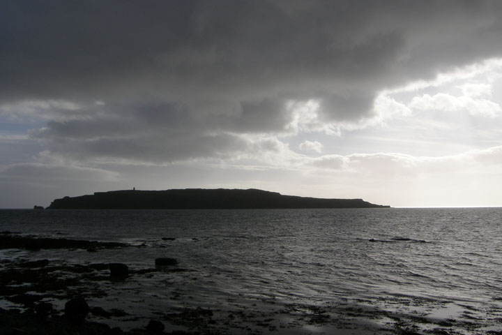
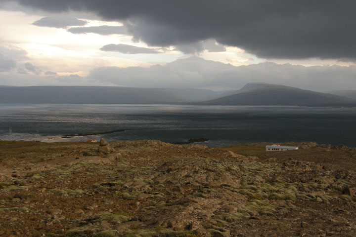
Grímsey
Island
In Drangsnes we felt like we were staying at the end of the earth.
The most awesome thing in town is a set of infinity hot pots built
into the seawall two blocks from our guesthouse. We spent a good
part of the evening soaking in the geothermally heated tubs,
watching the breaking waves of the Arctic Ocean and lighthouses
blinking in the distance. Paradise! The pots are free and open to
the public, so if you happen to be in the neighborhood...
|