Iceland Day 11 – Wednesday, September 17, 2014
Snæfellsnes Peninsula / Snæfellsjökull National Park
If you seek a pleasant peninsula, look about you.
Breakfast is included at Gistiheimilid Hof, but we got there at the
tail end, and it was a bit meager. That is to say, they ran out of
cheese, dang it! We filled up on other things, but still...
Staying two nights in one place, we had the luxury of devoting a
whole day to exploring the Snaefellsnes Peninsula, a
100-kilometer-long appendage sticking out west from the main body
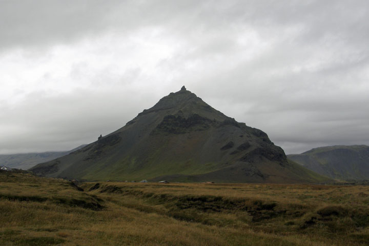
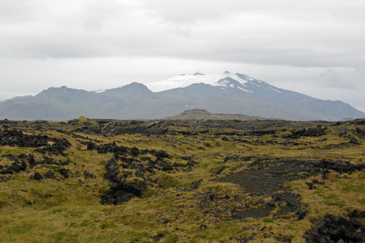
of Iceland. Snaefellsjokull, the ice-cap-covered volcano at the
western end of the peninsula, is the orifice through which the
book's characters descended to begin their epic journey in Jules
Verne's “Journey to the Centre of the Earth,” which I read while we
traveled through Iceland.
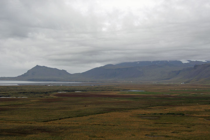
Snæfellsjökull obscured
by clouds
After breakfast we headed west along the peninsula's southern
shore. We quickly came to Raudfeldar Canyon, a narrow crack
disappearing into the side of a cliff. There's a short hike, and
then you have to hop from rock to rock up a stream to enter the
ravine. After that, you can continue pretty far up the canyon, but
we went just a little past the entrance, where we found an
abundance of dead birds lying around in various states of decay.
Creepy.
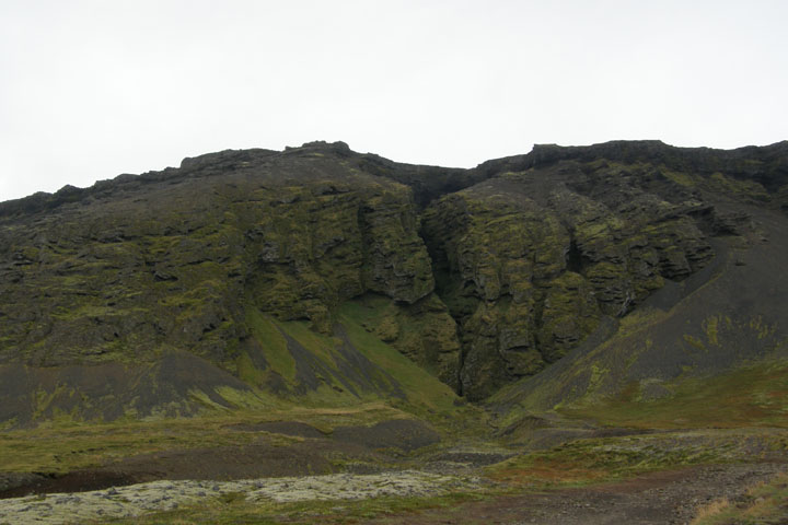
Rauðfeldar
Canyon
From
Rauðfeldar
A littler further along, we turned up Rt. F570 to visit some cool
lava caves about 1.5 kilometers from the main road, the largest of
which is Songhellir (Song Cave). The acoustics were great, and I
treated Tom to a few verses of my favorite songs from “The Sound of
Music.” You're welcome, Tom.
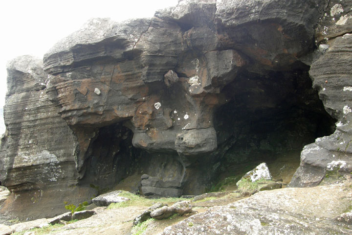
Lava caves at
Sönghellir
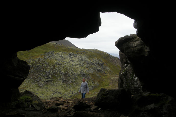
Tom enjoys my
concert
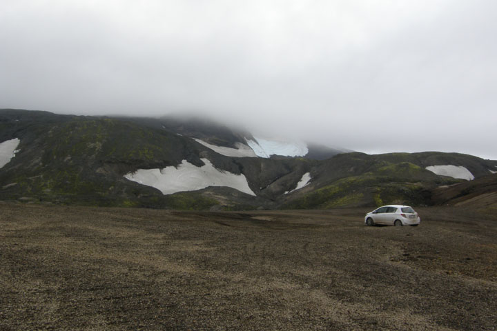
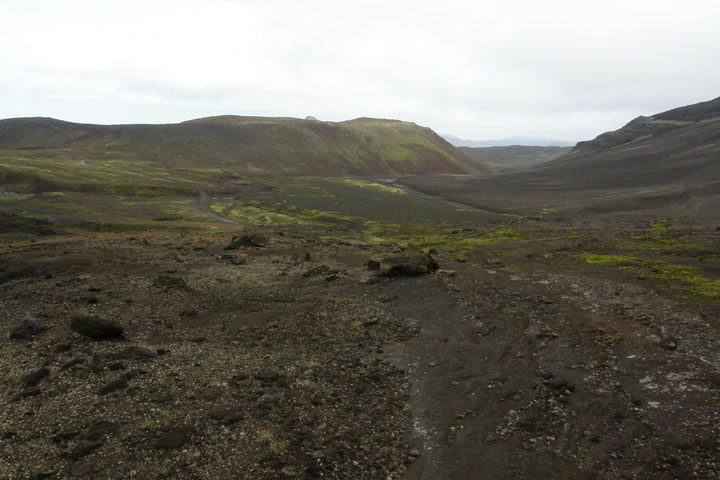
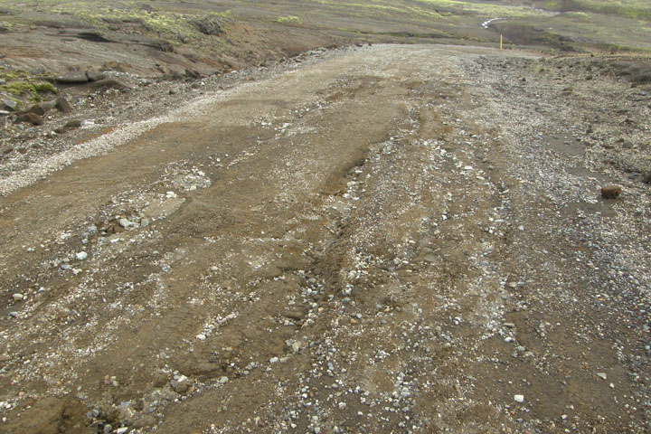
As I've mentioned, 2WD vehicles, such as ours, aren't allowed on
“F” roads, so after the caves, I was keen to turn around and get
off F570, but Tom was set to keep going, so we foolishly pushed on
up the steep, rock-strewn, pot-holed track. The road goes right
along the edge of Snaefellsjokull. Too bad it was obscured by
low-lying clouds on this very dark and overcast day. Luckily, we
had a good view of the volcano from our cabin last night.
At an elevation of 700 meters, we reached the summit of the road,
though we were nowhere near the top of the volcano, at 1,446
meters. Finally, we turned around at the top, because the road
further north was clearly even worse, and we'd been lucky to make
it this far. By the way, we weren't the only fools up there in a
2WD, but that still didn't make it a good idea!
F570
summit
On top of the
world
F570 - It's worse than
it looks
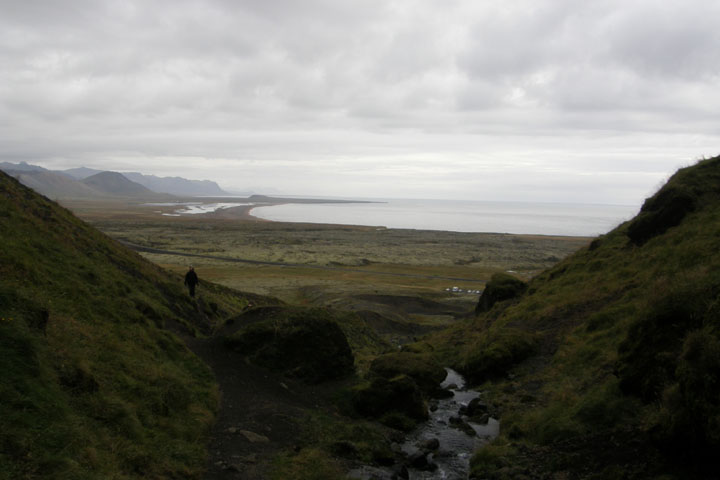
The dark day wasn't good for mountain viewing, but it made the
seascapes even more dramatic, and we took a fantastic cliff-side
hike along the jagged coastline between the villages of Arnarstapi
and Hellnar. It was 5 kilometers for me out and back, but only
2.5km for Tom, as I went and picked him up in Hellnar after hiking
back and retrieving the car.
Mt. Stapafell from
Arnarstapi
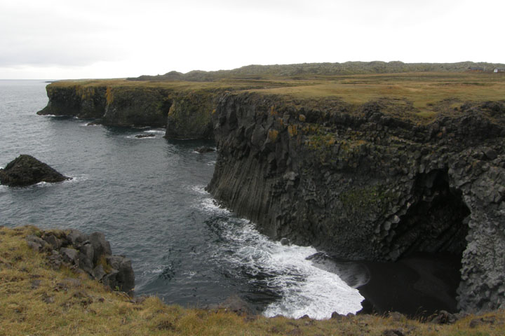
Cliffs of
Arnarstapi
Arnarstapi to Hellnar
coastal hike
Hellnar to Arnarstapi
coastal hike
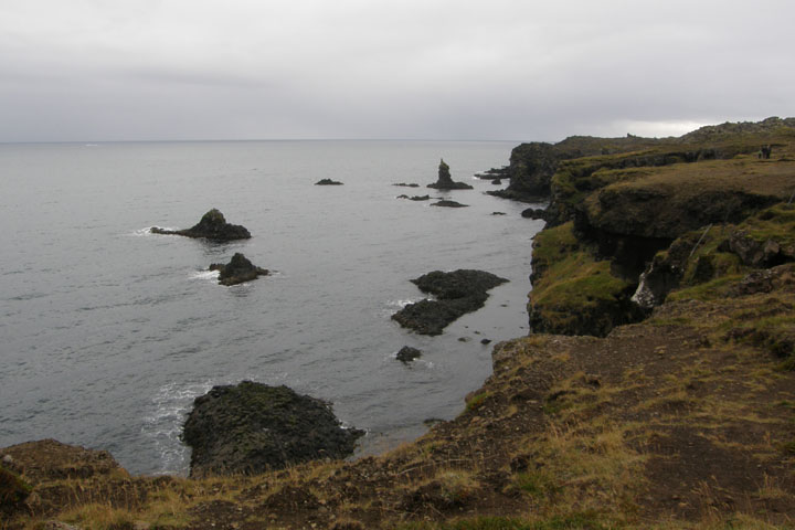
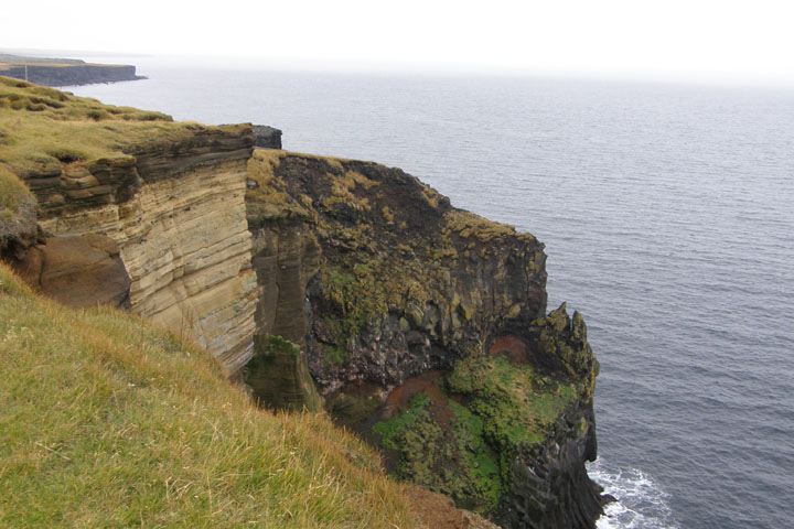
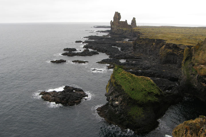
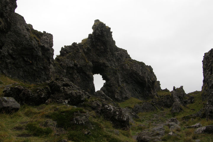
At Svalpufa-Pufubjarg we found dramatic craggy cliffs and a tall
seastack forged from layers of volcanic rock and thought to be part
of an ancient crater that erupted under the sea.
According to legend, in the 17th century, poet Kolbeinn Grimsson
challenged the devil to a poetical duel, and at Pufubjarg one night
when the moon was shining and the sea was rough, they sat down on
the cliff edge and dueled for the whole night. Whoever could not
finish a verse started by the other would fall from the cliff into
the ocean. They dueled for the whole night, until Kolbeinn gave the
devil the beginning of a verse he couldn't finish, and in his
frustration, the devil said, "This is no poetry, Kolbeinn."
Kolbeinn then finished the verse himself, and the devil immediately
fell from the edge of the cliff and plunged into the ocean.
Svalþúfa-Púfubjarg
Cliffs of
Púfubjarg
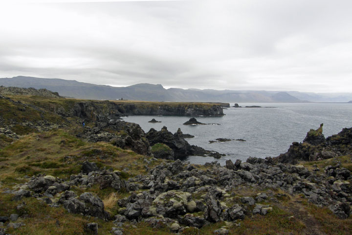
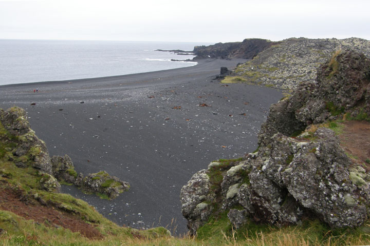
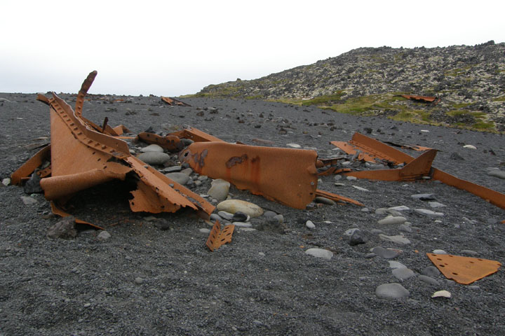
On the black-sand beach of Dritvik, next to a rocky shore, lie the
remains of the British fishing trawler "Epine," wrecked on a stormy
night in March 1948 with the loss of 14 of her 19 crew. The
fragments of the vessel have been left as a memorial, and you're
asked to please not disturb or remove these.
Dritvík
beach
Remains of the trawler
"Epine"
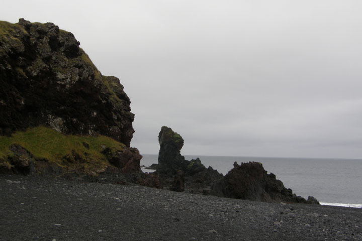
Rocky stacks at
Dritvík
Gatklettur arch,
Dritvík
Next we climbed Saxholl, a volcanic crater with the classic cone
shape. It was only about 300 meters to the top. Shortly afterward,
at about 5:00 p.m., the clouds finally parted to reveal
Snaefellsjokull!
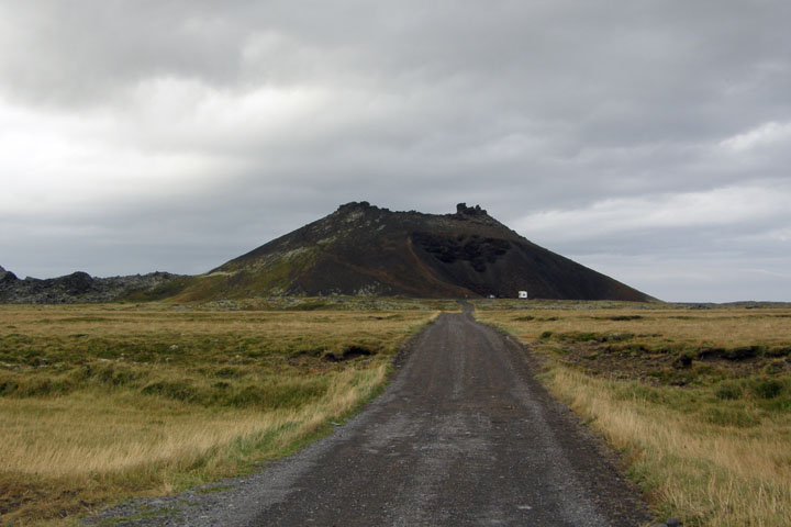
Saxhöll
Saxhöll from the
top
Snæfellsjökull
appears!
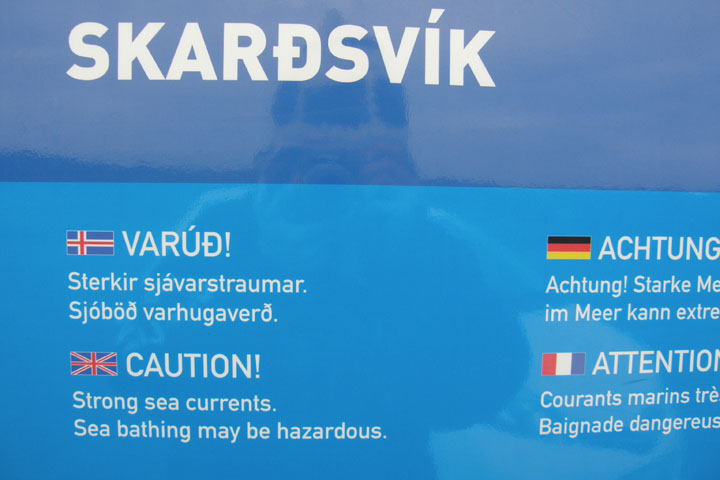
We took side road 579 toward the bright orange lighthouse at
Ondverdarnes. Before the lighthouse, we reached the beach at
Skardsvik, with its ridiculous warning signs regarding the danger
of swimming there. I guess they thought we'd take one look at the
pretty beach and not be able to resist a dip in the frigid ocean.
Just before the lighthouse are the Svortuloft bird cliffs, sans
birds this time of year.
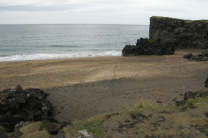
Skarðsvík
beach
Too bad - I was totally
going to take a dip
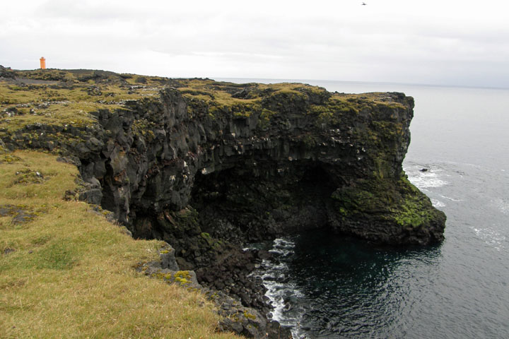
Svörtuloft bird cliffs,
Öndverðarnes lighthouse
Back to the main road, 574, heading east across the top of the
peninsula, we passed the Hellissandur long-wave radio mast at
Gufuskalar, the tallest structure in western Europe, 412 meters
(1,352 feet) tall, built by the U.S. Coast Guard in 1963 as part of
the LORAN-C navigation system. LORAN-C was shut down in 1994, being
replaced by satellite technology, at which time the tower became a
radio transmitter for the Broadcasting Service of Iceland.
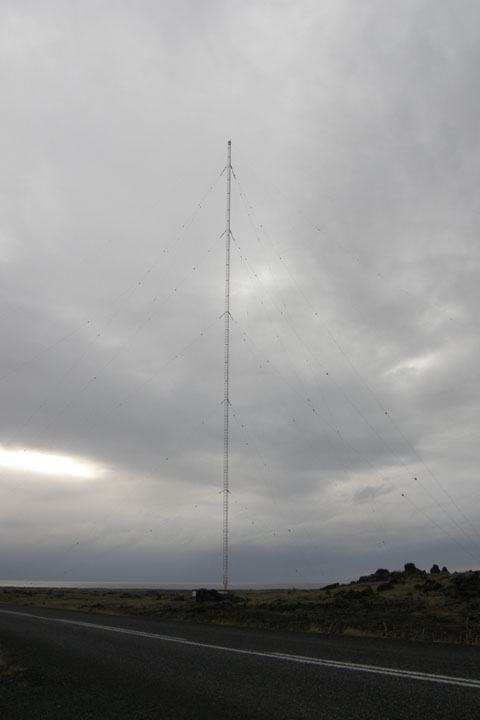
Tallest structure in
western Europe
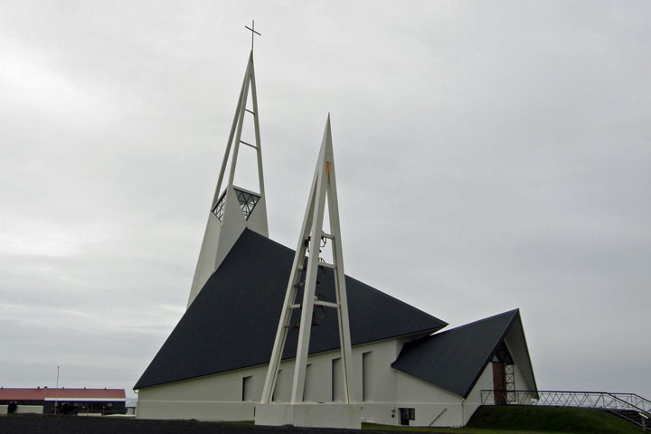
Ólafsvíkurkirkju, made
entirely of triangular pieces
The drive from Grundarfjordur to Stykkisholmur is supposed to be
exceptionally beautiful, but by the time we got to Grundarfjordur,
it had started to rain and the clouds were very low, so though it
was pretty, it wasn't spectacular, and I didn't feel like getting
out in the rain to take any photos, even though we did see some
nicely shaped “sugarloaf” mountains and a multitude of
waterfalls.
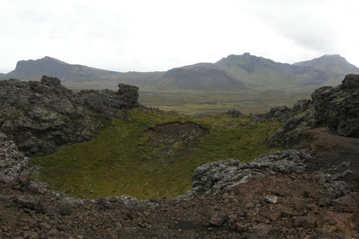
We turned off the main road again for a short time to drive the
Berserkjahraunsvegur (Berserkers' lava field road). The rugged road
gets its name from a pair of Berserkers who, in a famous Icelandic
Saga, were murdered nearby by being locked inside a scalding hot
sauna and then speared to death as they tried to escape. (Another
heartwarming story, I know.) It was a strange place. You could
barely tell the road from the surrounding lava. We just had to
follow the tire tracks.
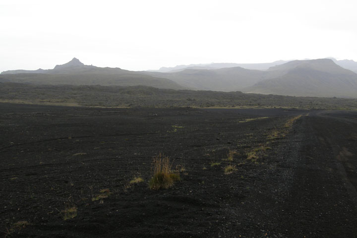
Berserkjahraun lava
field
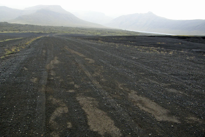
Berserkjahraunsvegur
Since the view was diminished in the rain and gloom, we turned back
toward our guesthouse before reaching Stykkisholmur, deciding the
town is close enough to visit tomorrow morning if the weather is
better. We got back to our cabin by 7:30. What a great, beautiful,
marvelous, interesting place the Snaefellsnes Peninsula turned out
to be!
Tonight we had another dinner of champions: ramen noodles with
salami, cheese, and crackers – easy, convenient, and cheap. No
Northern Lights tonight – way too cloudy.
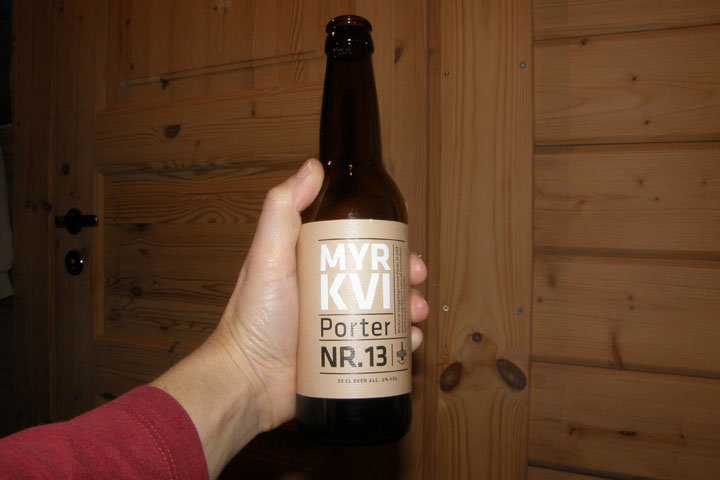
Voted best beer in
Iceland by at least two Americans
|