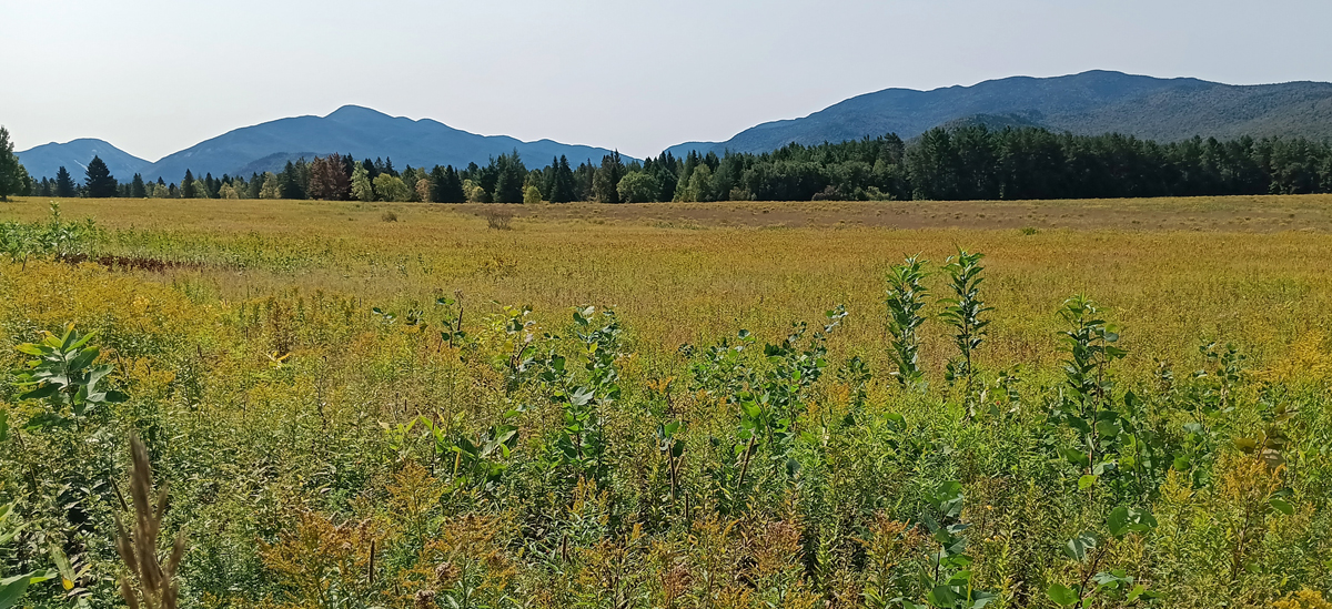
Known for its rugged mountain terrain, the High Peaks Wilderness Area of Adirondack Park contains most of New York's highest summits, including its highest point, Mount Marcy, at 5,344 feet.
The shortest path to the summit of Mount Marcy is via the Van Hoevenberg Trail, a strenuous 14.8-mile round-trip with an elevation gain of 3,590 feet. Most people tackle this trail as a very long day hike. Ha! It would take us three days, breaking the hike into three sections of 3 miles, 8.8 miles, and 3 miles.
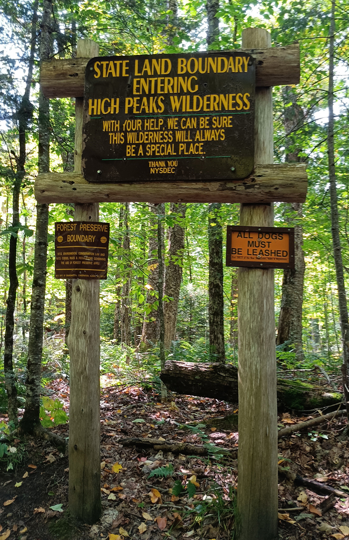
Approaching the High Peaks Wilderness
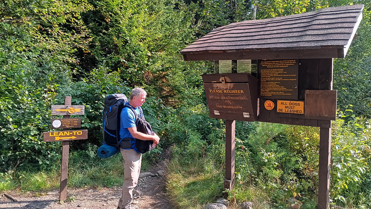
The Van Hoevenberg Trail starts at the High Peaks Information Center, next to Adirondack Loj. For non-Adirondack Club members, parking at the trailhead is $18 per day or $10 for a half day (after 1:00 p.m.) We showed up right at 1:00, and there were plenty of available spaces.
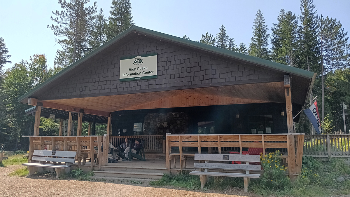
Adirondack Mountain Club High Peaks Information Center
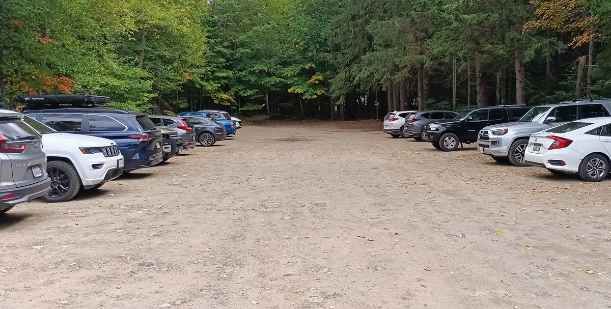
Trailhead parking
Overnight campers in the High Peaks are required to carry a bear canister for their food. We rented one from the HPIC for two nights for $8. The canisters are large and awkward and weigh almost 3 pounds. To make room in my pack, I'd left our kettle and stove at home, meaning only cold food (and cold coffee) for the duration of our camping trip.
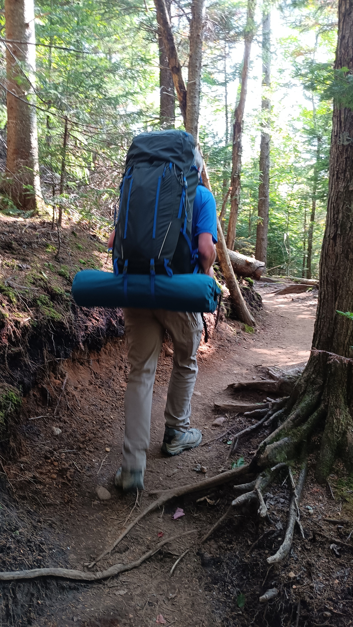
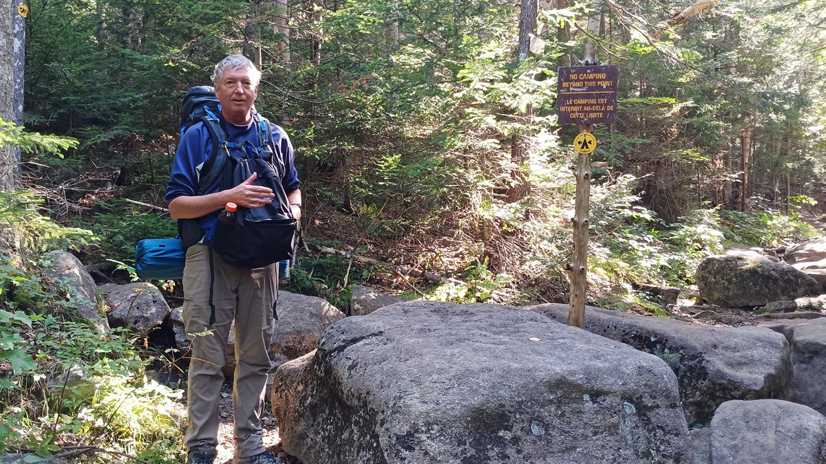
Our backpacking gear is ancient and heavy, and we set out on the trail carrying around 35 pounds each. Thank goodness we only needed to lug this stuff 3 miles (twice). On summit day, we'll be able to leave the bulk of our stuff in camp and just carry day packs.
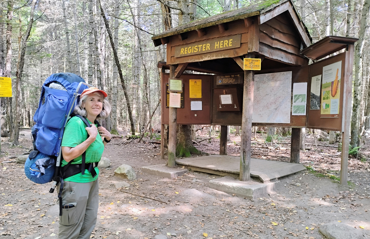
Jana sets off on the Van Hoevenberg Trail
Tom on the trail
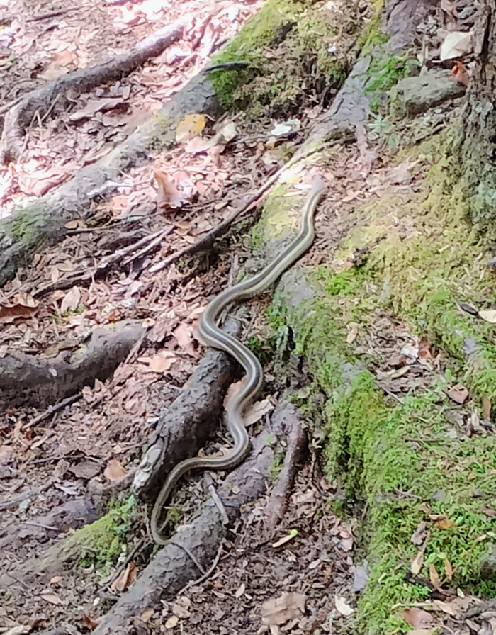
Snake!
Into the wilderness
The Van Hoevenberg Trail starts off fairly flat and reasonably smooth for the first 2.3 miles, until reaching the site of the old Marcy Dam. The wood and earthen dam, built by the CCC in the 1930s, was destroyed in the aftermath of Hurricane Irene in 2011. We stepped out of the woods here to a wide-open view of the surrounding peaks.
Arriving at Marcy Dam
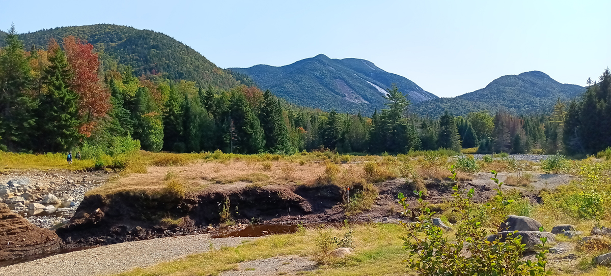
Amazing view
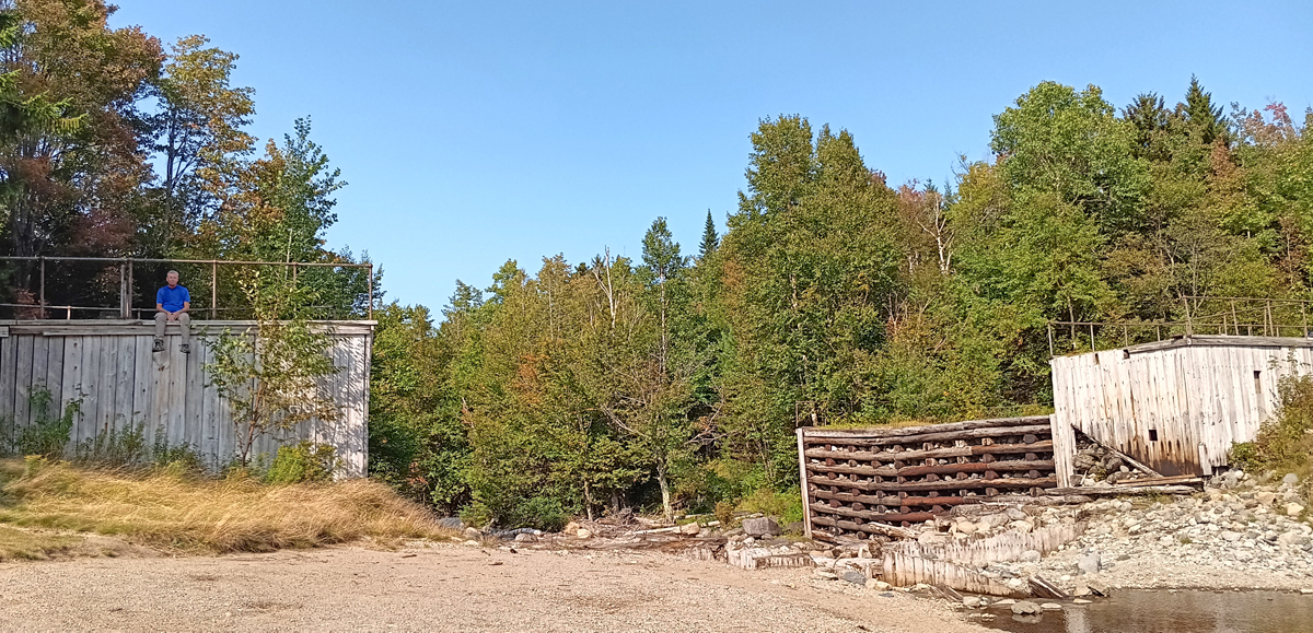
What remains of the old Marcy Dam
The majority of the campsites along the Van Hoevenberg Trail are in the vicinity of Marcy Dam, but we pressed on farther in order to shorten our hike on summit day. The two final campsites are another three-quarters of a mile beyond the dam. After crossing Marcy Brook, the trail abruptly changed from a gentle slope to a steep and rocky climb, and that last push carrying 35 pounds was no fun at all!
Backcountry trail register
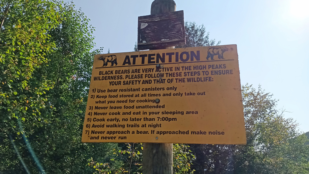
Beware of bears
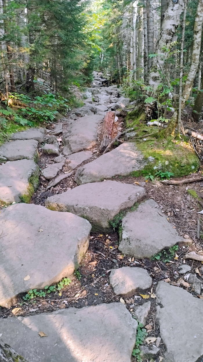
The trail gets rocky
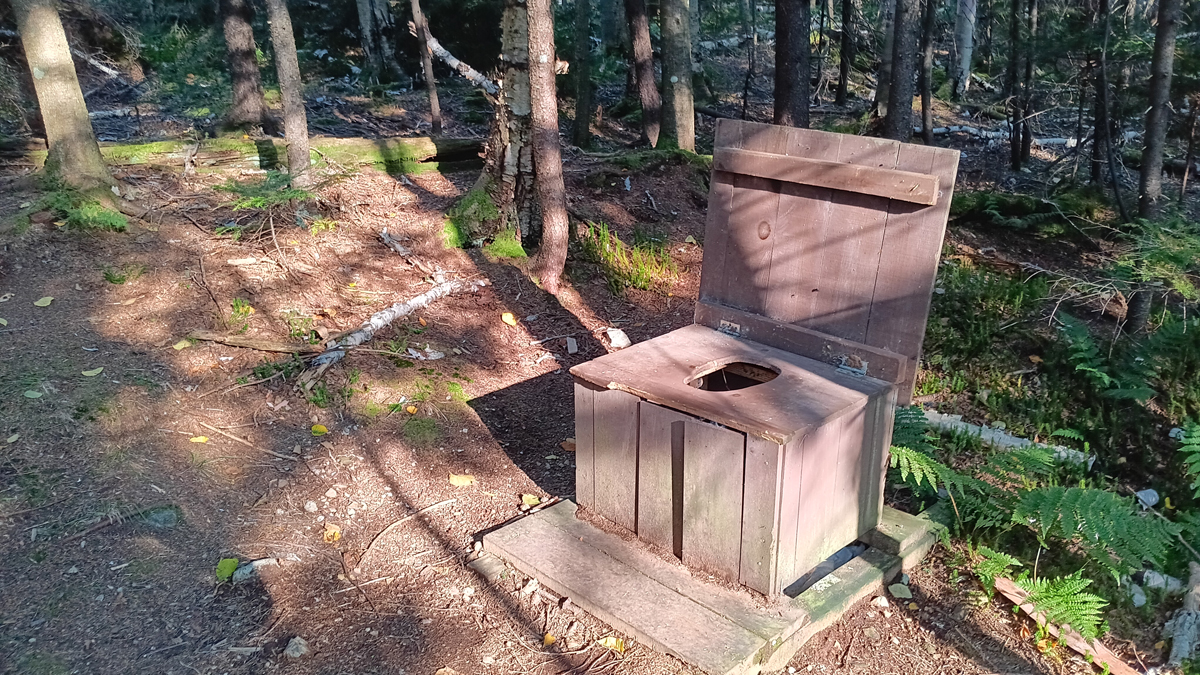
The turnoff for the campsites was easy to see, but the sites themselves were harder to spot. In the High Peaks, campsites are designated with a yellow disk that says “camp here,” which looks almost identical to the little yellow disks that say “no camping.” Not helpful. Up to three tents are allowed per campsite, but luckily, we had the place to ourselves, because the privy is VERY primitive.
Turnoff to our campsite
It can't be
Yes, it certainly is
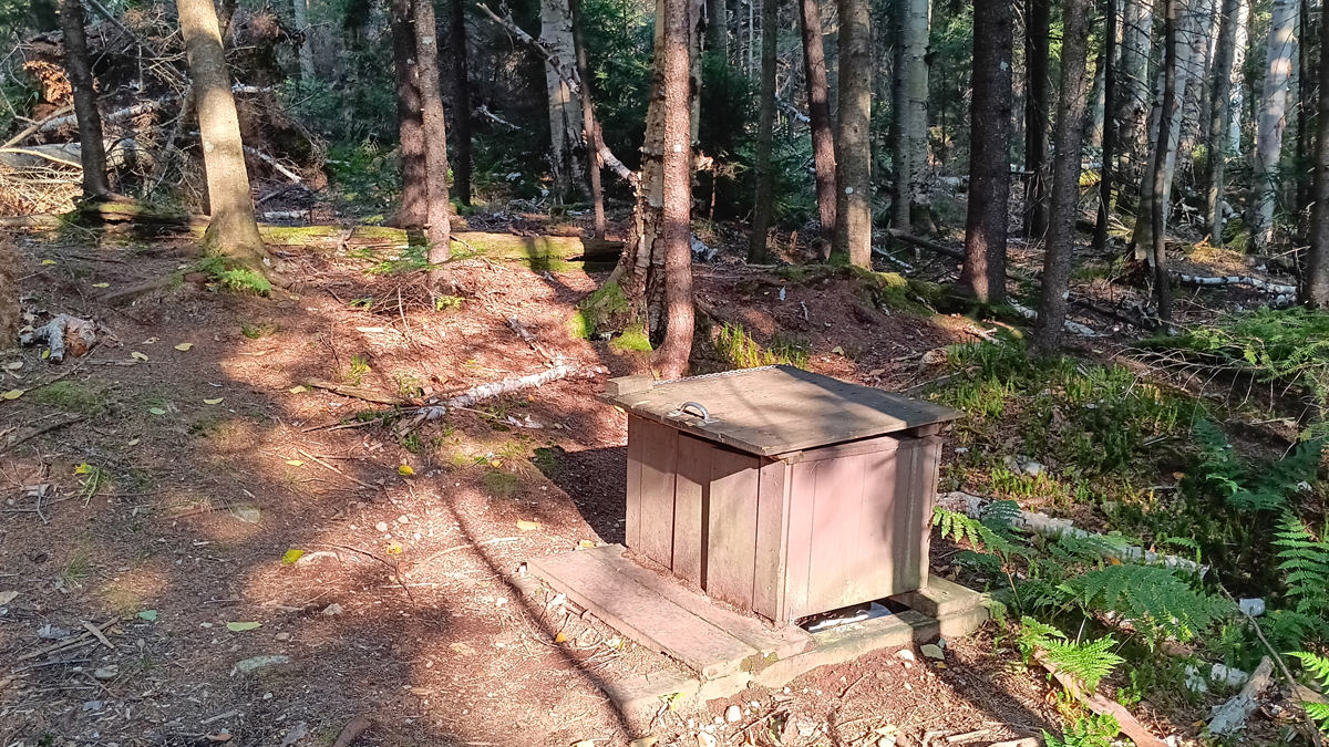
We made it to camp at 4:30. With sunset at 7:20, there was plenty of time to set up our tent, filter water at Phelps Brook, and feast on a Subway sandwich we picked up earlier in town. Our last task was to find a place off in the woods, at least 100 feet from the tent, to stow the bear canister (and still be able to find it again later)!
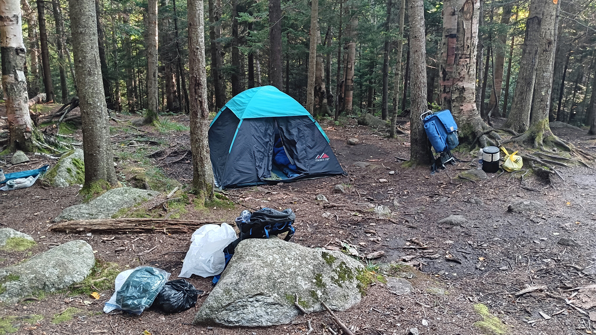
Our two-night accommodations
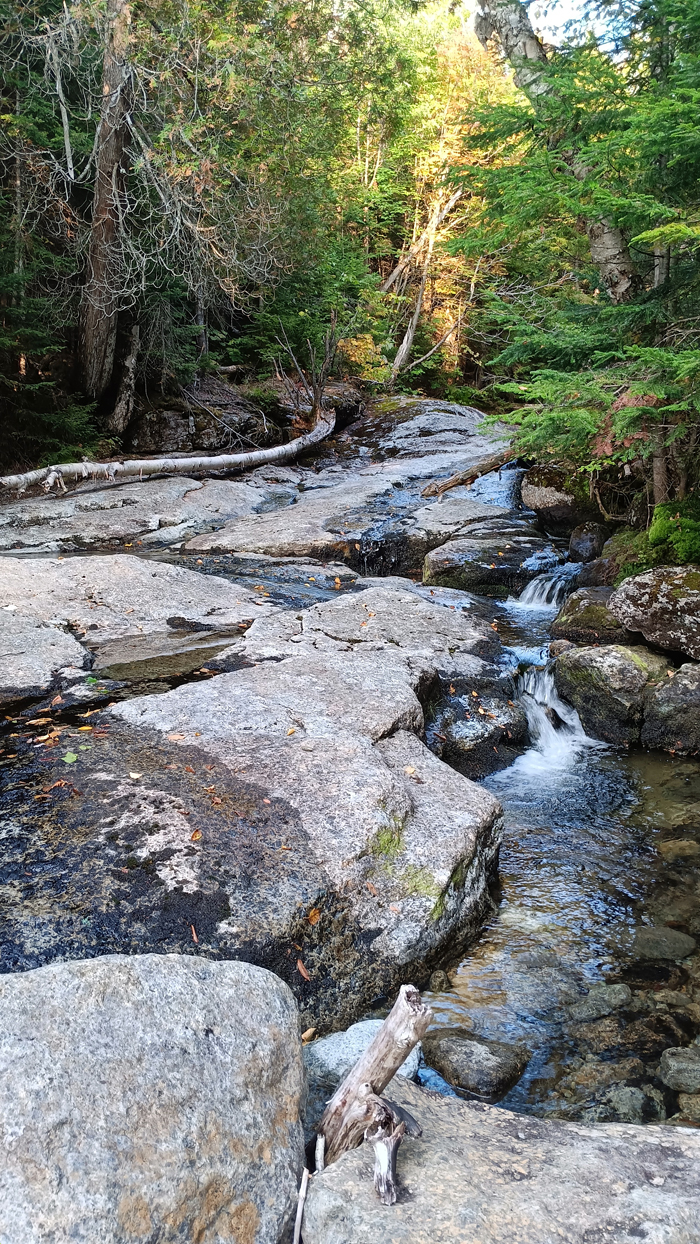
Phelps Brook, our water source