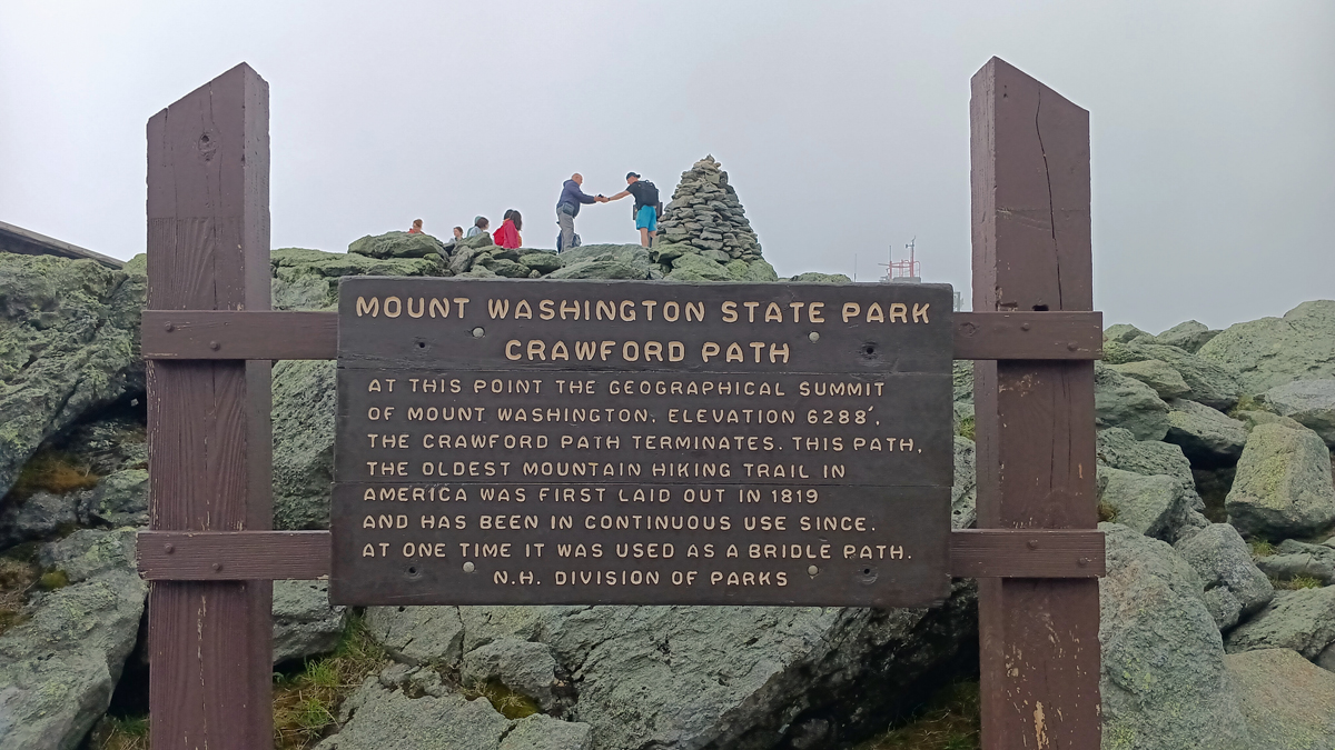
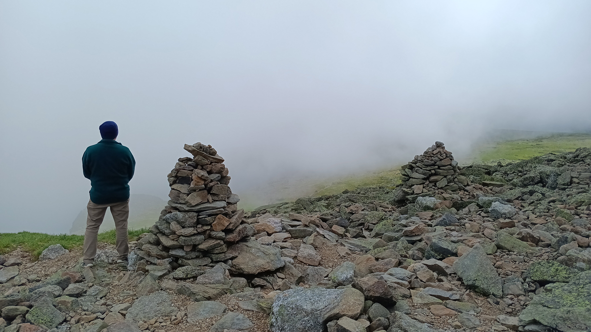
Trip high point number 7: Mount Washington, New Hampshire, at 6,288 feet, the highest peak in the northeastern United States and the highest point of our trip! It's all downhill from here...
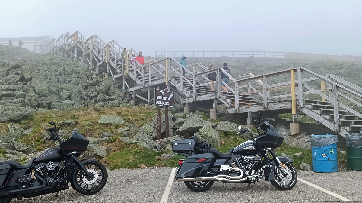
We ascended the massif via the legendary Mount Washington Auto Road, a 7.6-mile steep and narrow scenic drive with an average grade of 11.6 percent. It cost $66 for a car, driver, and one passenger. Sure beats hiking up! At the end of the road, one final staircase brings you to the tip-top.
Mount Washington, New Hampshire
Highest point in the northeastern U.S.
Line for photos at the peak
Mount Washington is famous for its dangerously erratic weather. We tried to drive up in 2012, only to be turned away at the last minute due to rainy conditions causing the dirt portion of the road to be wet and slick. I was worried it might happen again this time, but paving of the road was finally completed just two years ago, so we hoped for the best and were not disappointed.
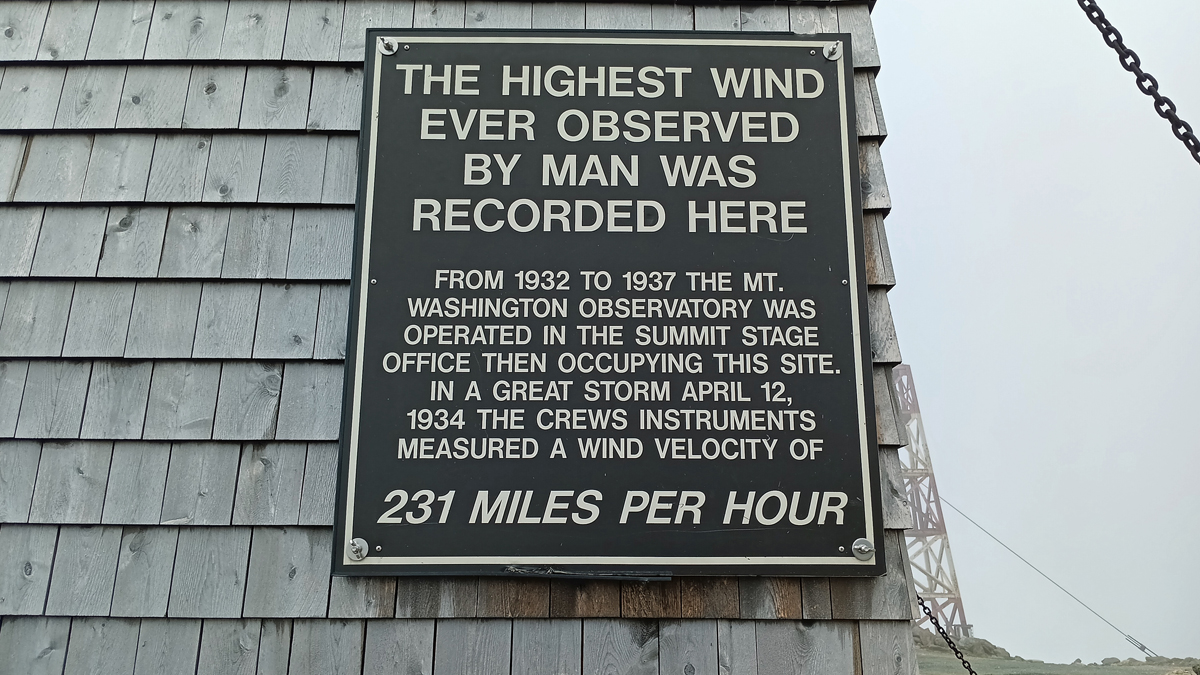
Worst weather in the world
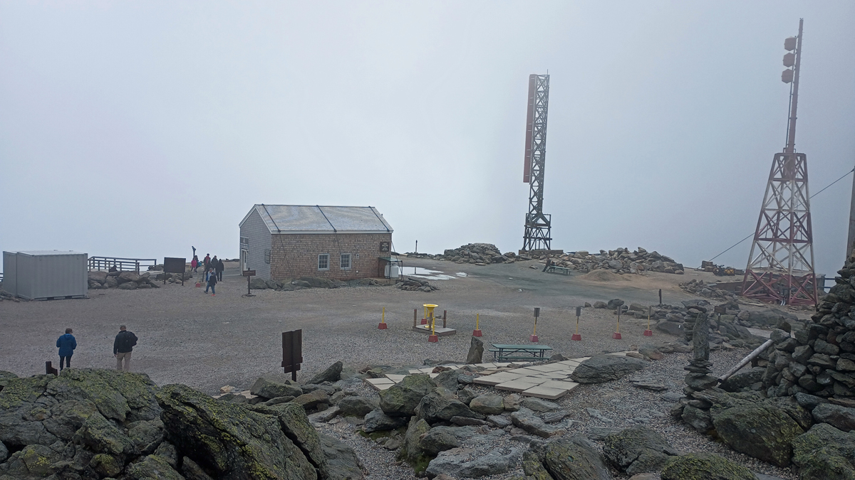
Mount Washington Weather Observatory
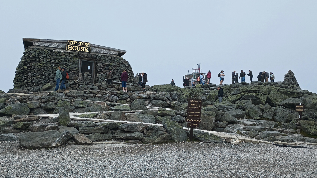
It would have been nice if the sky had been clearer, but I think our experience on Mount Washington was fairly typical. At least it wasn't windy. We could see patches of blue sky here and there, but the clouds never parted for us. The lack of view didn't seem to be stopping anyone from coming. It was busy up there!
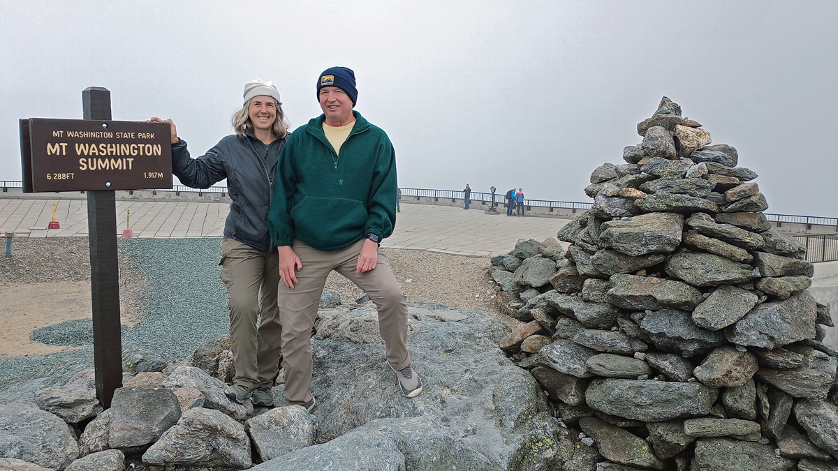
Jana and Tom at New Hampshire's high point
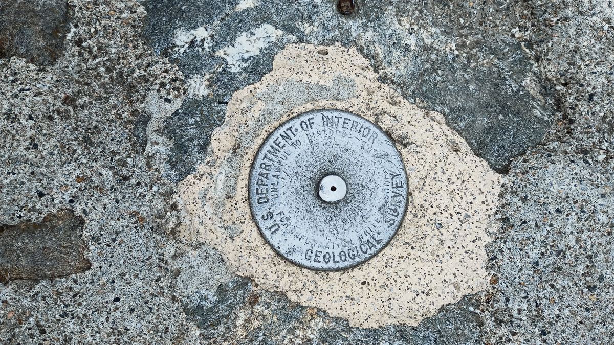
Official marker
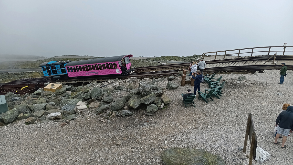
Cog railway, an alternate route
Many people find driving the Auto Road scary, but I thought it was great! There were far more motorcycles than cars, so you know it was a fun ride. You just have to use a low gear for the steep descent to keep from overheating your brakes. We had some nice views on the way down once we dropped below the clouds. I am satisfied.
Tom takes in the view
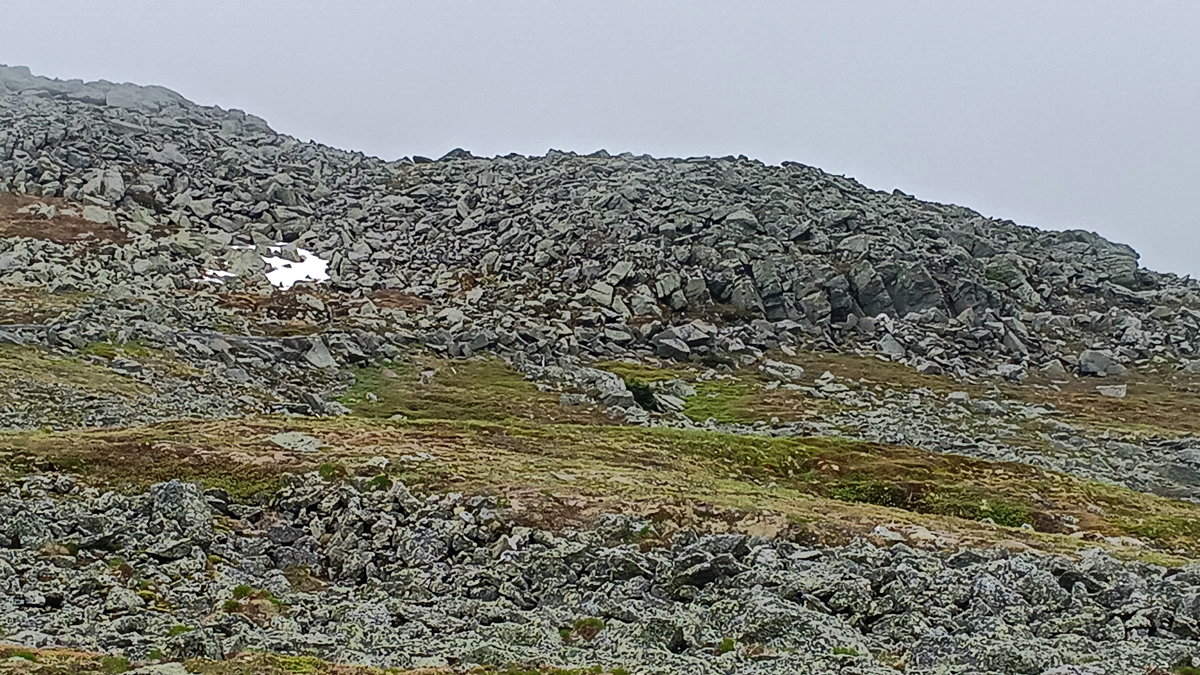
Snow!
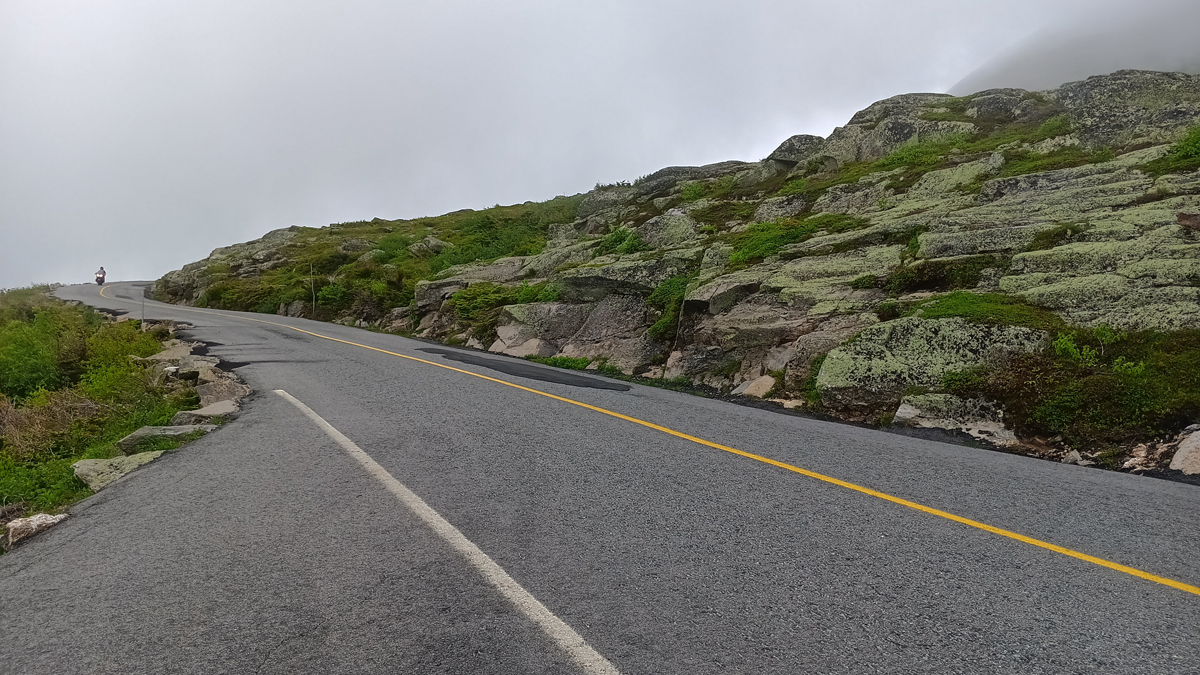
Mount Washington Auto Road
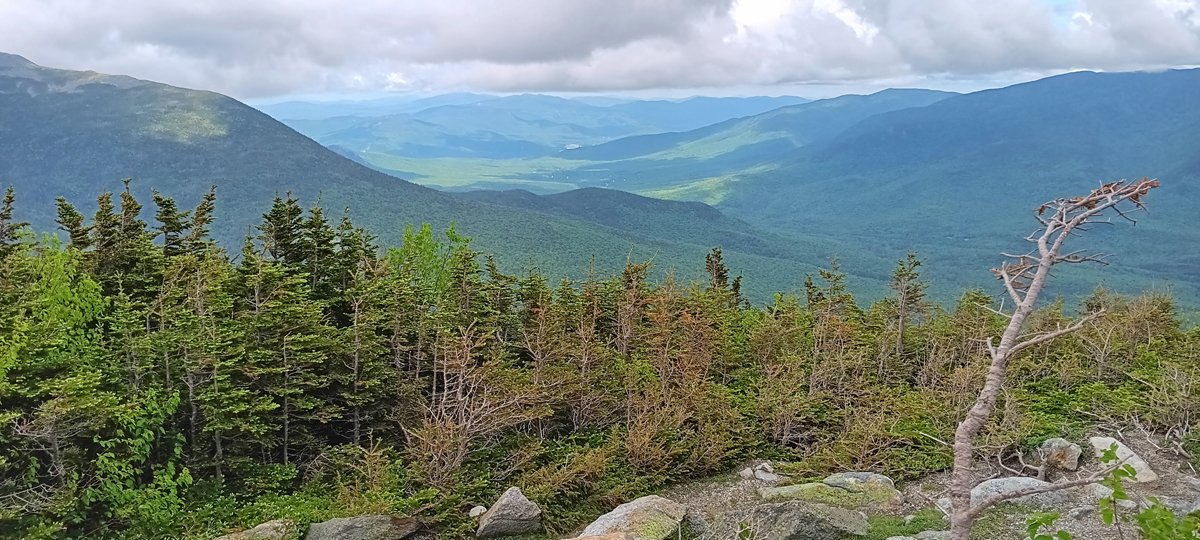
Below the clouds
Once off the Auto Road, we drove just a couple of miles to Crystal Cascade, on the Ellis River. The same trail we took to the waterfall continues all the way to the top of Mount Washington. We hiked three-quarters of a mile. Round trip to the summit is 8.2 miles, with an almost 4,300-foot elevation gain. Imagine the hikers' dismay when they reach the top and realize they could have driven.
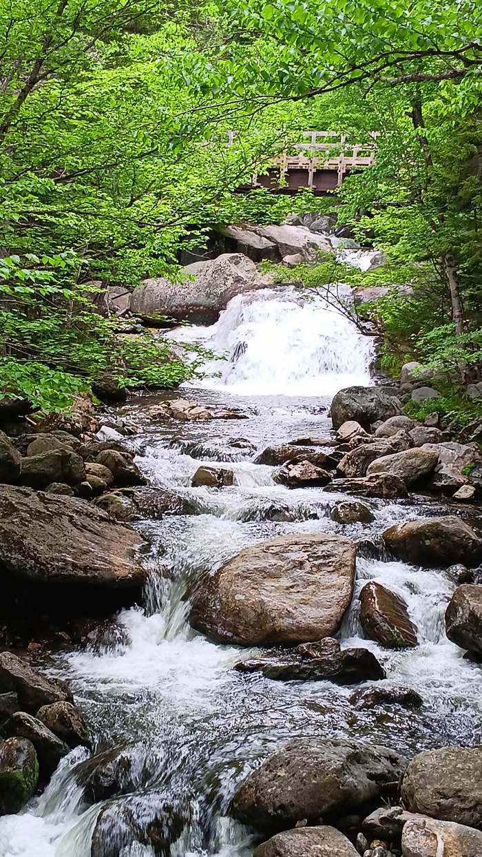
Ellis River, at the base of Mount Washington
Then it was on to Maine. Shortly after crossing into the state, we pulled off the road at an access point to the Androscoggin River. The first thing I saw was a car pulling out with a bumper sticker that read: “Welcome to Maine, Now Go Home.” Not very friendly, but I was cracking up. I'm sure they didn't mean us...
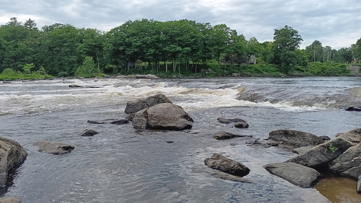
Androscoggin River, Maine
Lodging: Country Inn at the Mall, Bangor, Maine. A very comfortable hotel – just what we needed before two nights of backcountry camping. They also offered a nice hot breakfast to fuel us up in the morning before the big hike.
Dinner: Delicious take-out burgers from 5 Guys. A perfect choice because we had to hurry back to the hotel to do laundry and organize our gear for the next leg of our trip.