A few years ago during our travels, we began visiting the highest points of various states, but mostly just the easy ones, and primarily because it was funny – like our fearless drive to the summit of Britton Hill, the highest point in Florida, at 345 feet above sea level. However, we'd occasionally also throw in harder feats – such as our ascent of Virginia's 5,712-foot Mount Rogers, which required a tough hike of 9 rocky miles – but those were exceptions.
Then one day last winter, Tom tallied it up and realized we'd been to the highest points of 16 states and the territory of Puerto Rico. After that, he started mapping out which of the remaining state high points we might be able to reasonably reach. So what began as a lark had now become a mission. As it turned out, a big chunk of our missing peaks were clustered in the northeast, so why not hit as many as possible in one fell swoop? Challenge accepted!

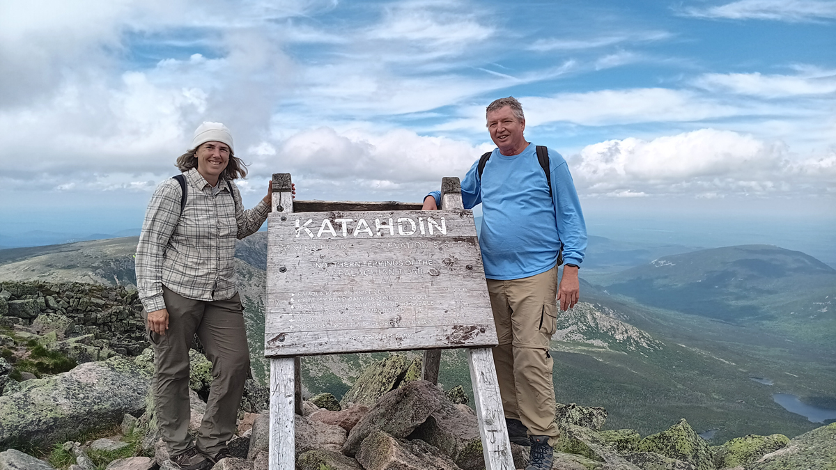
Jana and Tom at the highest point in Maine
In just two weeks, we manged to visit 10 high points (9 states plus D.C.), making our high-point tally at the time of this writing a grand total of 25 states, one U.S. territory, and a federal district. Which one will we knock off next??? This map shows our up-to-date tally
Hardest high point of the trip: Mt. Katahdin's Baxter Peak in Maine, 5,267 feet above sea level, requiring a strenuous round-trip hike of 11 miles, with an elevation gain of around 4,000 feet. It took us three days...
In between bagging peaks, we also checked out historic Philadelphia, admired multiple waterfalls, enjoyed visits with far-flung family, and more.