Camp chores took a long time: filtering water, retrieving the food bag from the bear line, preparing coffee and oatmeal on the camp stove, returning the food bag to the line, and selecting our final gear for today's hike. We were able to leave the bulk of our gear in camp for the day, which greatly lightened our loads.
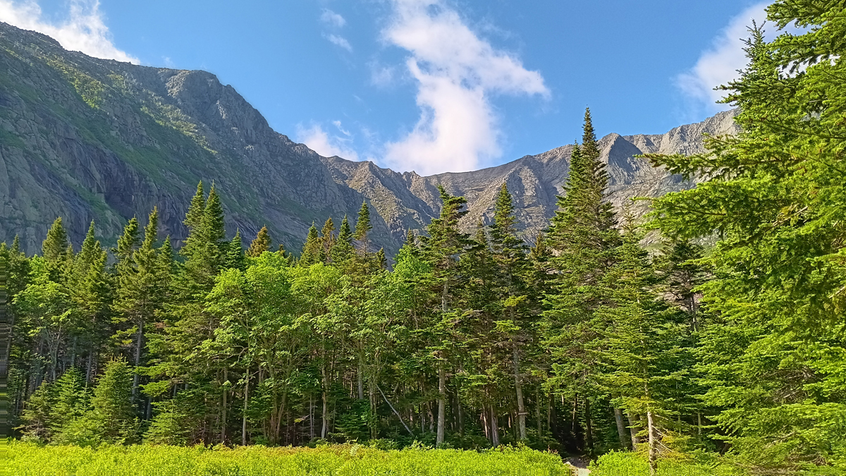
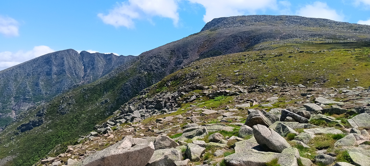
Mount Katahdin in the morning light
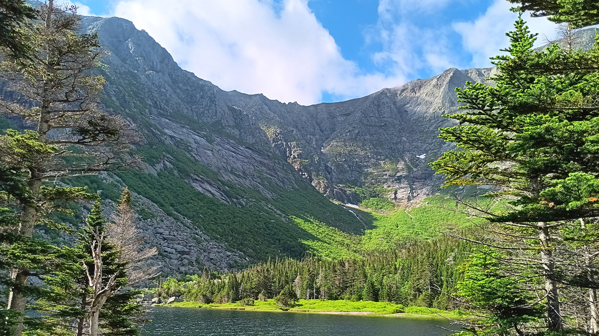
Chimney Pond
We finally hit the trail at 9:45. By that time, day hikers who'd begun at Roaring Brook were already passing through Chimney Pond, but we had all day to hike 4.4 miles round-trip to Mount Katahdin's Baxter Peak and back to camp, so we were good. The weather was clear, and the temperature was perfect for hiking.
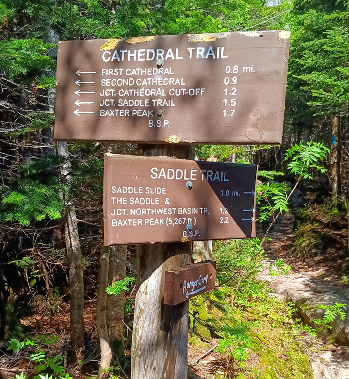
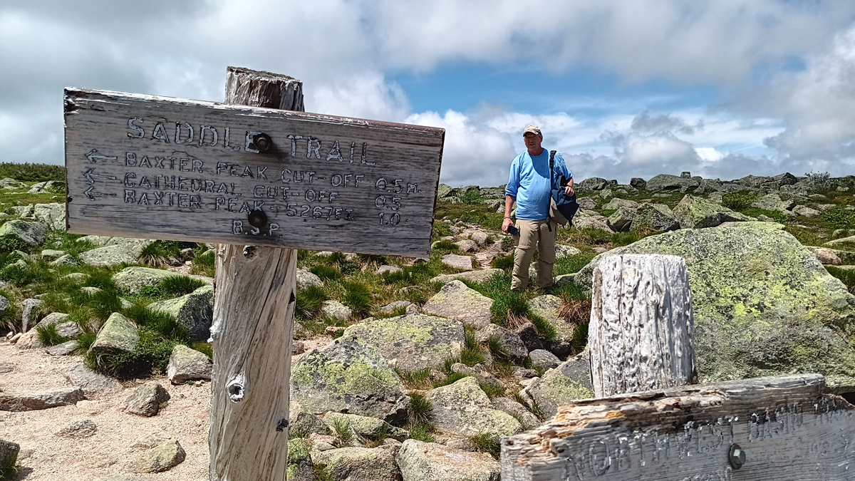
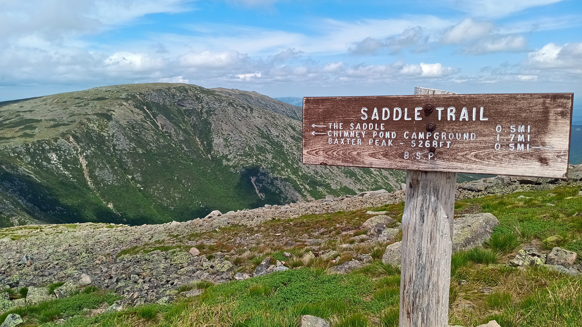
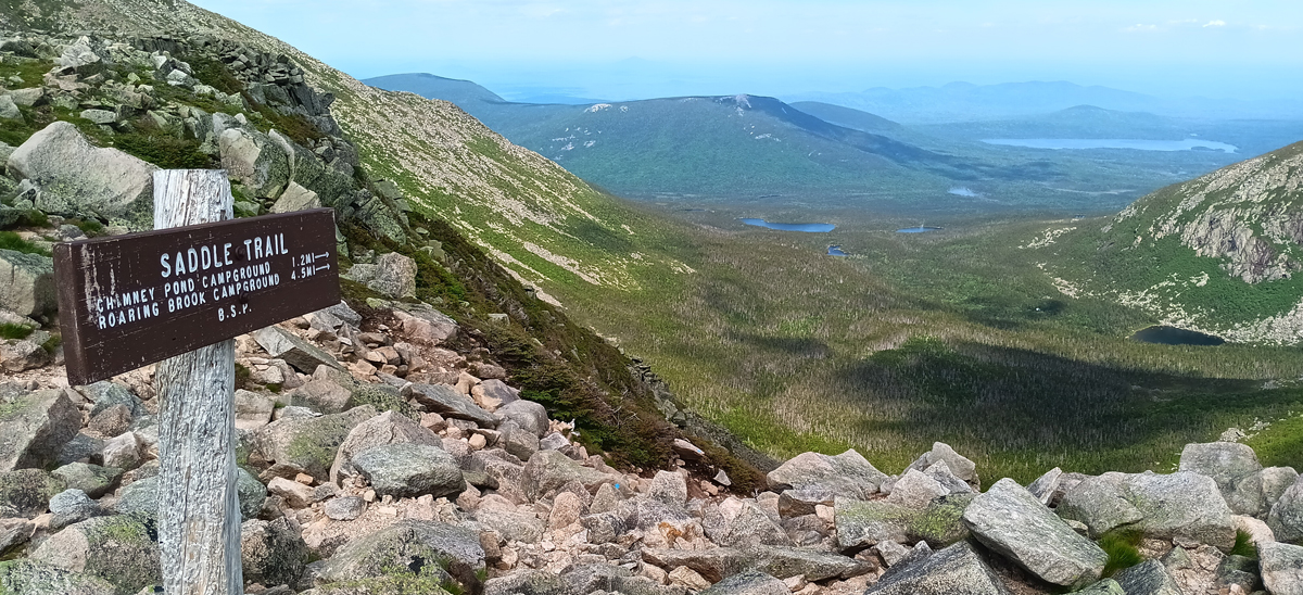
Saddle Trail to Baxter Peak
The Saddle Trail climbs the east side of Mount Katahdin from Chimney Pond to the high point at Baxter Peak – the longest 2.2 miles ever. Early spring is “mud season” on Katahdin, and the park had just opened the Saddle Trail to hikers one week before we arrived, deeming it finally dry enough after the spring snow melt to not disturb the delicate vegetation. There'd been no guarantee this trail would even be open by the time of our visit, and our Plan B route would have added another 3 miles. Yikes! With yesterday's rain, parts of the trail were again running with water, and we had to hop dangerously across rocks to cross one rushing stream.
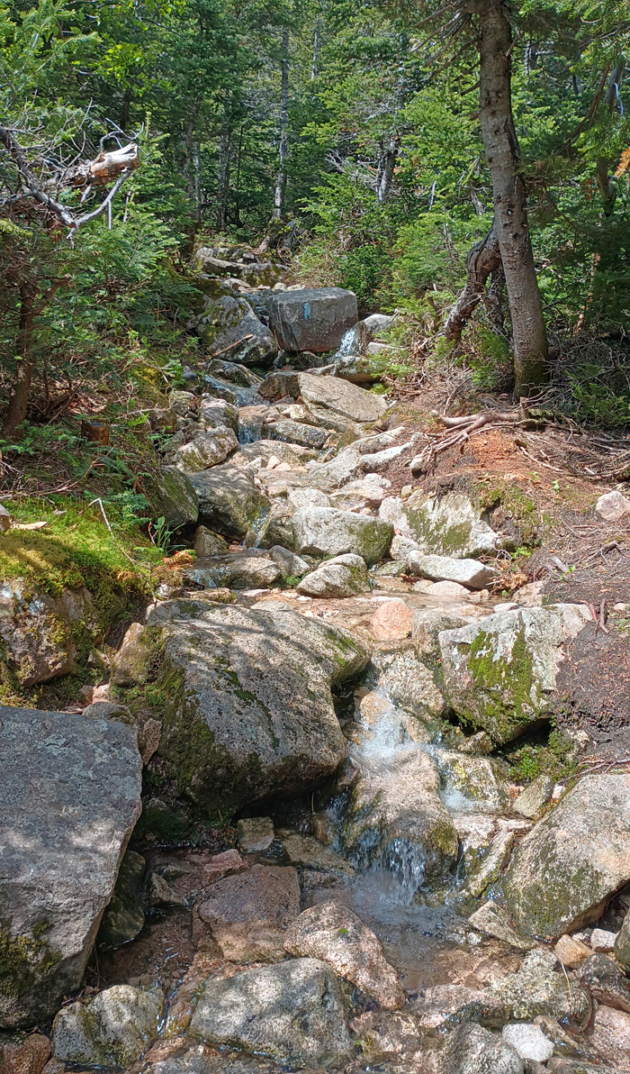
Saddle Trail begins
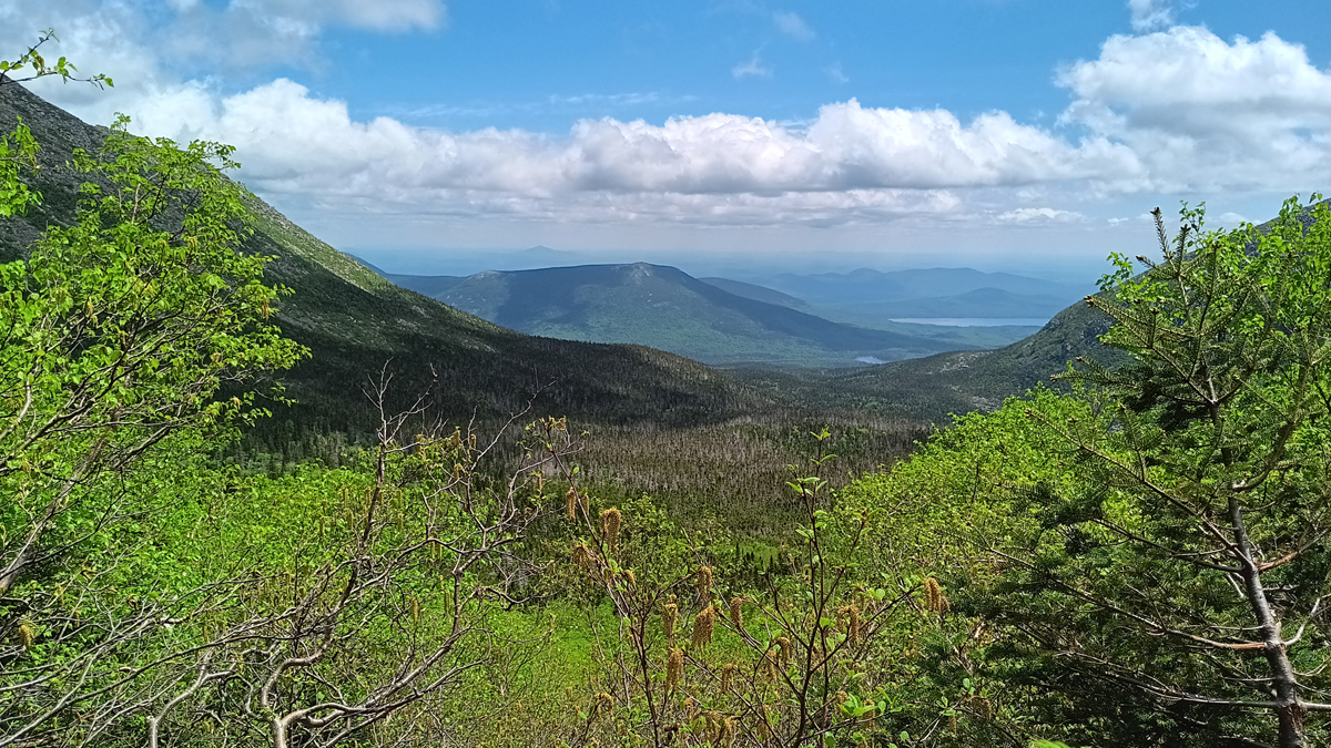
View from the trail
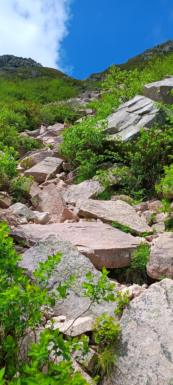
Starting to get steep
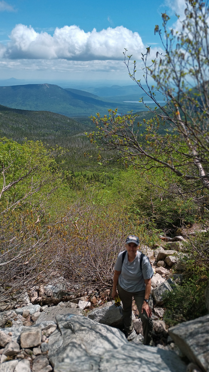
Climbing up the trail
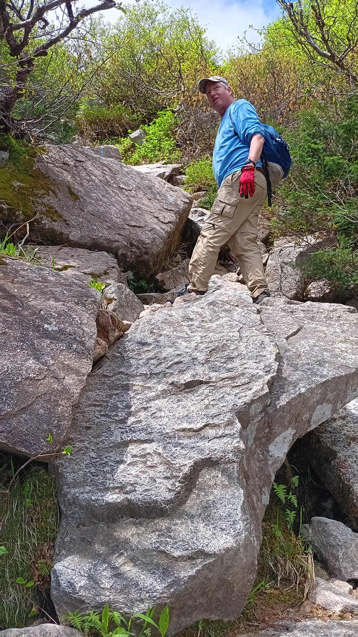
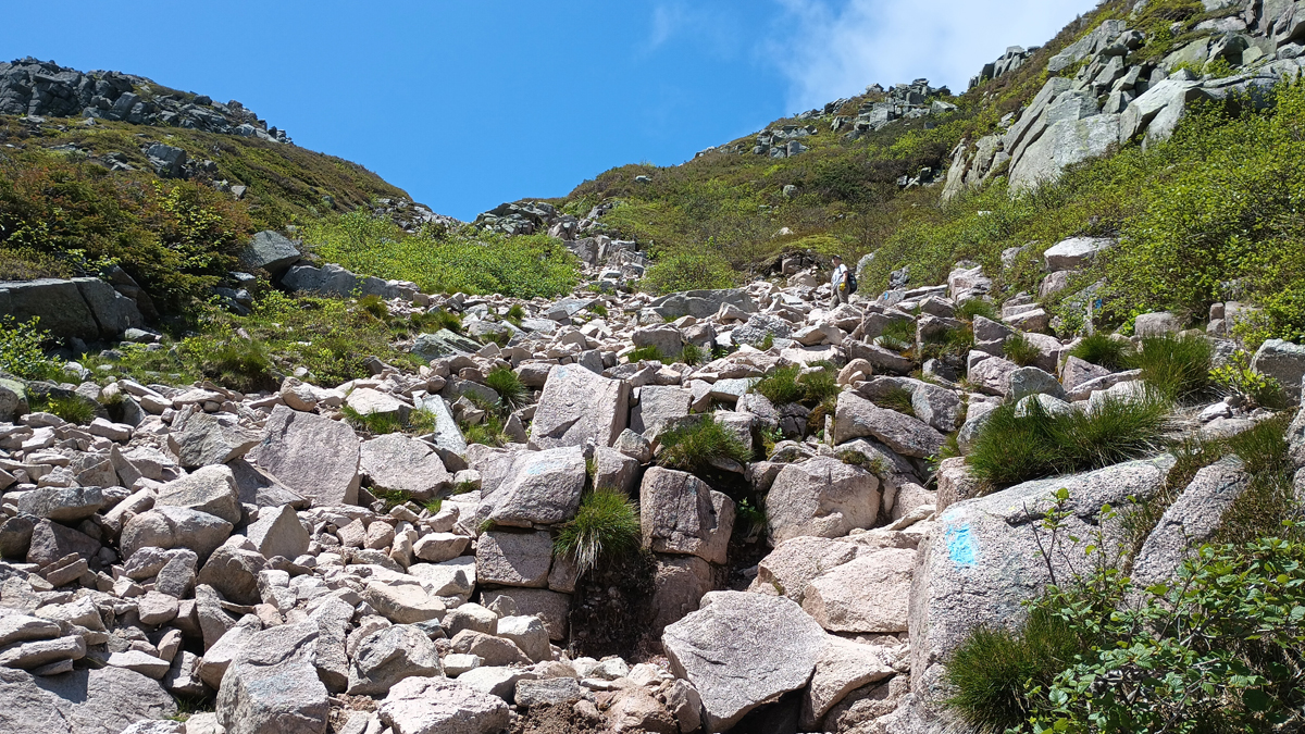
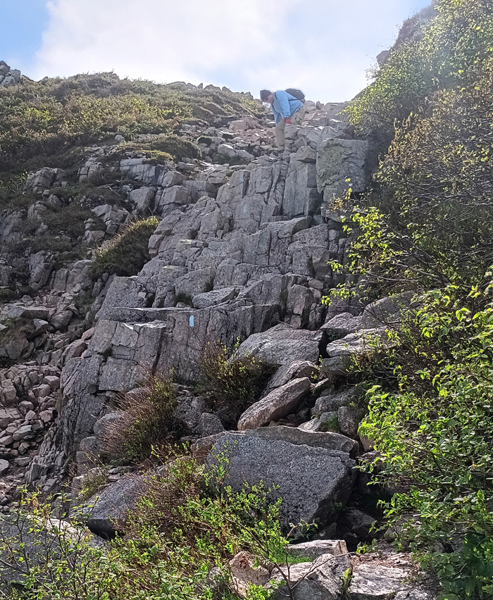
Yesterday's rugged trail was nothing compared to the Saddle Trail. We hiked through steep, forested, boulder-strewn terrain until reaching “The Slide,” an infamous section of trail that traverses an actual rockslide, where we had to quite literally climb. We wore gloves to protect our hands from the rough rock, and a couple of moves required every bit of my five-foot, six inches. A shorter person would definitely be challenged.
Beginning the Slide section of the Saddle Trail
The Slide continues
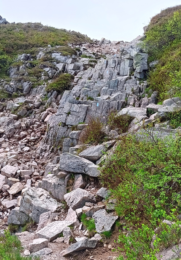
A pretty good climb
Once reaching the table land at the top of the Slide, we thought it would be smooth sailing, but the final mile across the ridge is full of scree and also difficult to traverse. It was like walking on piles of loose cobblestone, and it hurt both my feet and my feelings. Tough going, but the views were out of this world!
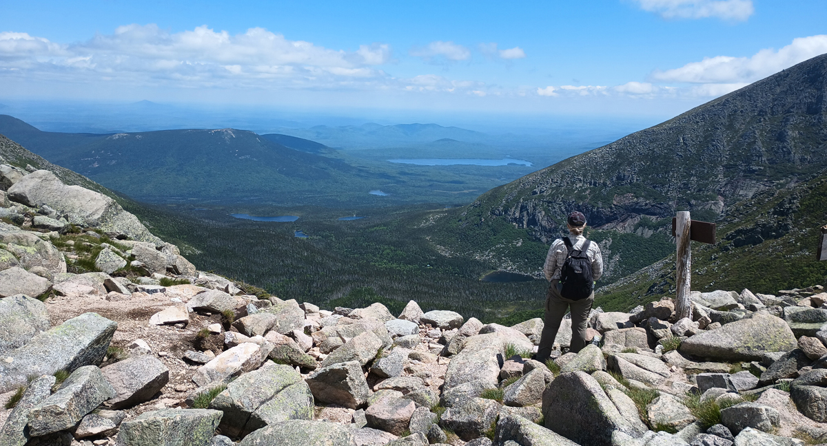
Jana at the top of the Slide
Tom on the table land
Still a mile to the top
Getting closer
Trip high point number 8: Baxter Peak, Mount Katahdin, Maine, 5,267 feet. We made it!!! This was a tough but rewarding hike, and you've got to remember, when we reached the top, we were only halfway done. Going up is optional, but coming down is mandatory. We spent about half an hour at the peak, and for the final few minutes, we had the place all to ourselves!
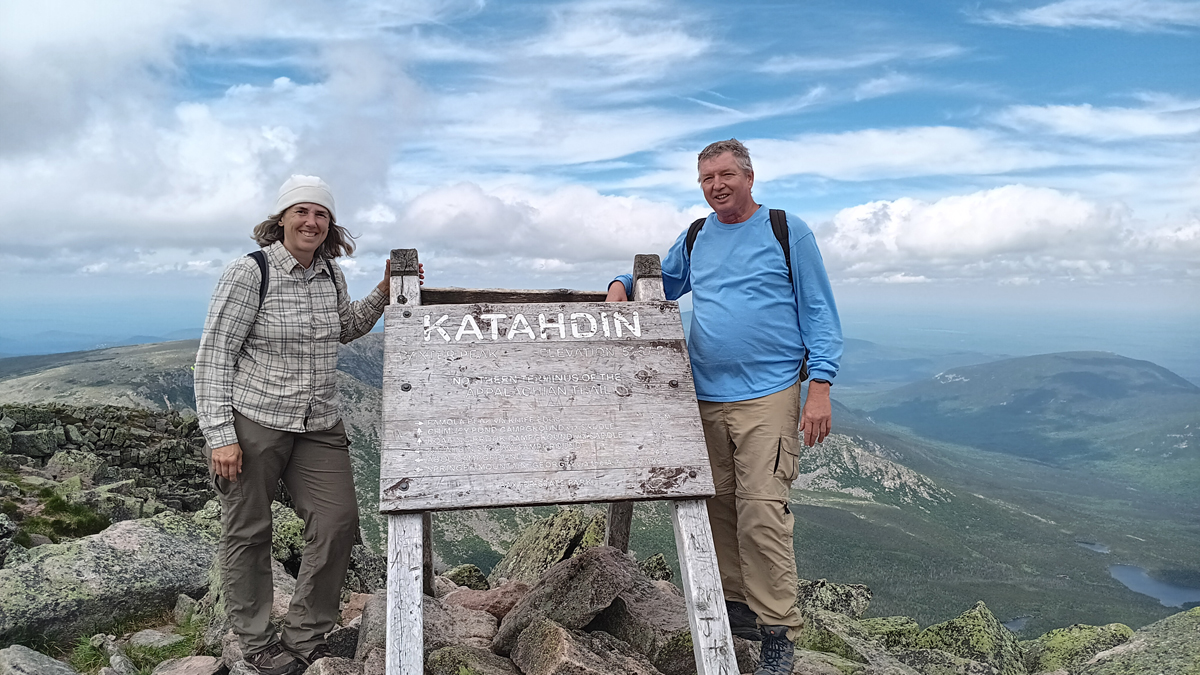
Jana and Tom – Baxter Peak, Mount Katahdin, Maine
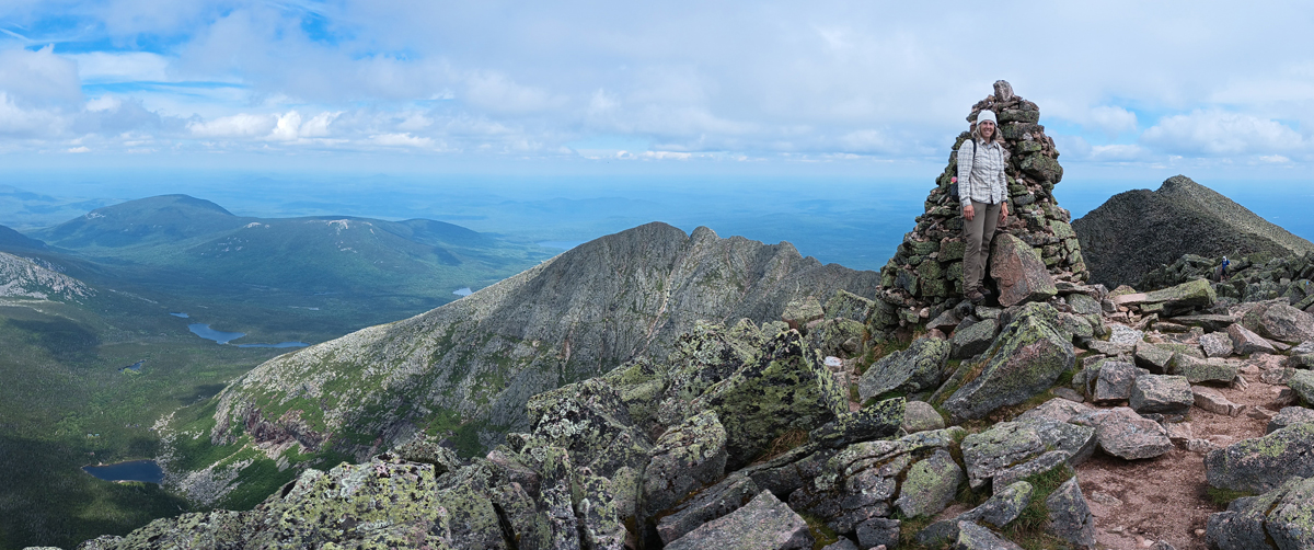
View toward Knife's Edge ridge
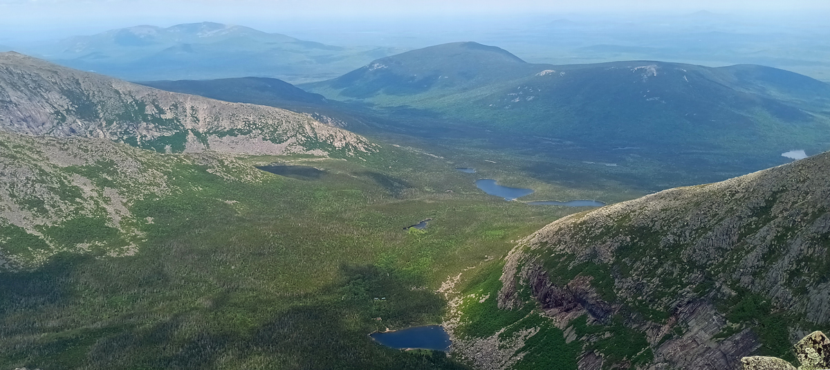
Chimney Pond, bottom center of photo
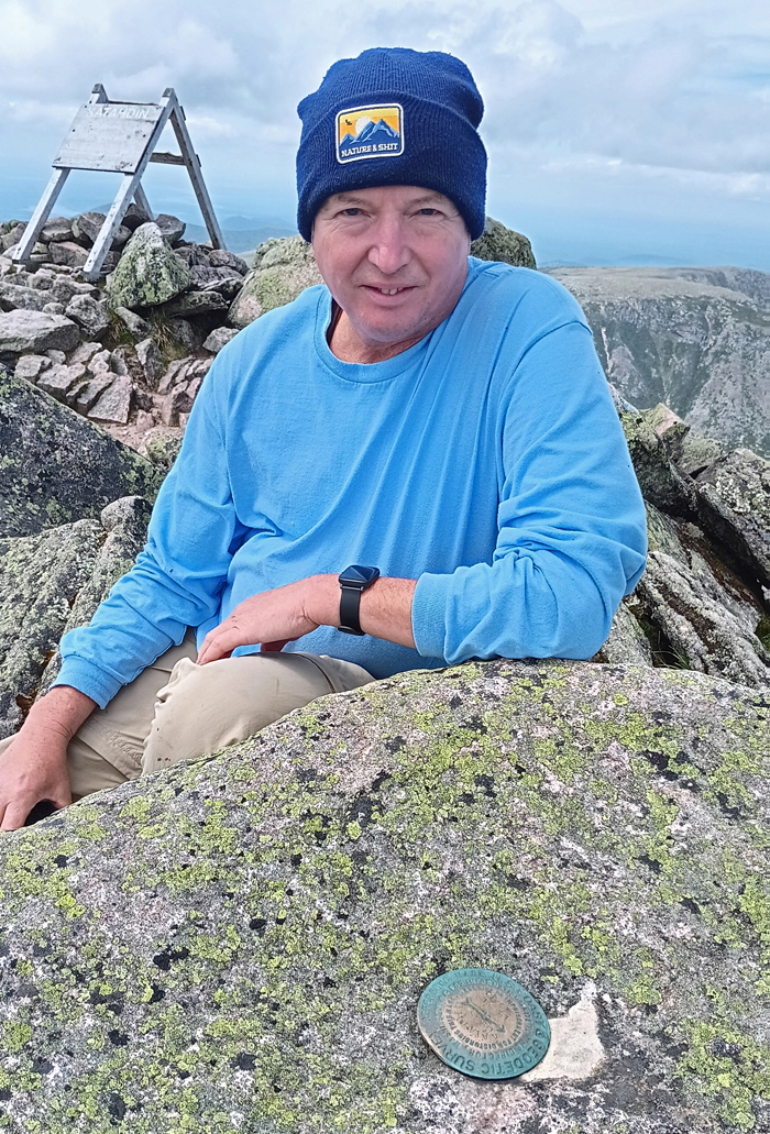
Tom at the top
As expected, the climb down the Slide was even more slow and difficult than the climb up – challenging and a little scary. There are parts of the rockslide where you can't see your next move, but if you follow the blue blazes, you'll make it through just fine. Tom was pretty fatigued and kept getting slower and slower – safety first – but we made it back to camp at 5:45, after eight hours on the trail, and had plenty of time to filter water and make dinner before dark.
About to descend the Slide
That first step is a doozie!
Dinner: Rehydrated freeze-dried chili mac with beef. Couldn't have tasted any better!