Today, we were headed from Philadelphia to Ridgefield, Connecticut, to visit family. Our journey took us through the Delaware Water Gap National Recreation Area, a long, narrow park along the Delaware River in northeast Pennsylvania and northwest New Jersey. Due to road work on the east side of the river, we drove through the park on busy US 209 in Pennsylvania. So the drive itself wasn't as scenic as we'd hoped, but we made a few nice stops.
The “water gap” refers to the place where the Delaware River has carved its way through the Appalachian Mountains. A good place to view the gap is from the Kittatinny Beach Boat Launch, at the south end of the park. A light rain started while we were here, but not enough to dampen our spirits.
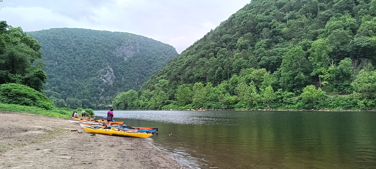
Delaware Water Gap
Happily, the rain passed before we reached our first hike. Dingmans Creek Trail is an easy, one-mile, mostly boardwalk trail through hemlock woods featuring two waterfalls. The first is the 80-foot Silverthread Falls, which lies just beyond the trailhead.
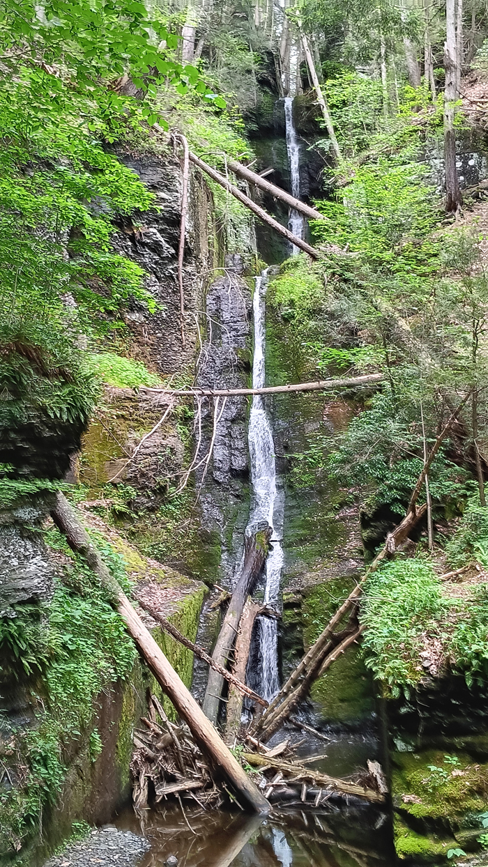
Silverthread Falls
The highlight of the Dingmans Creek Trail is the second waterfall, Dingmans Falls. At 130 feet, it is the second tallest waterfall in Pennsylvania. (We'll hike to the very tallest a little later.) A long set of stairs at the end of the boardwalk leads to the top of Dingmans Falls, but the best view is from below. It's beautiful!
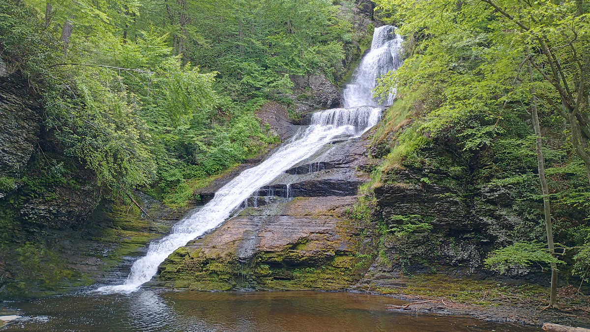
Dingmans Falls
Our last stop in the Delaware Water Gap NRA was three-tiered Raymondskill Falls. The three tiers have a combined height of 150 feet, making this is the tallest waterfall in Pennsylvania. The trail is only about half a mile, but it's steep and uneven. An upper viewing area provides a view of the top cascade, then you can hike to a lower area to view the two lower tiers.
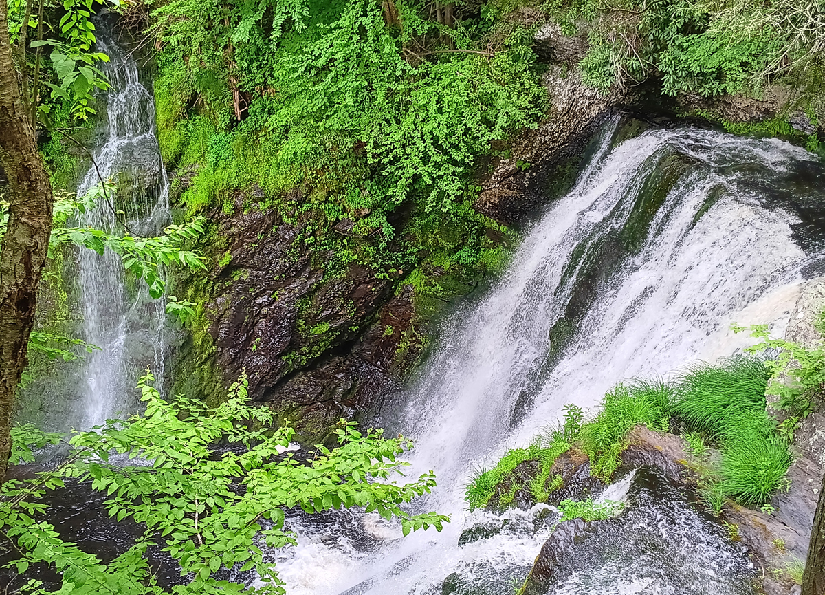
Raymondskill Falls top tier
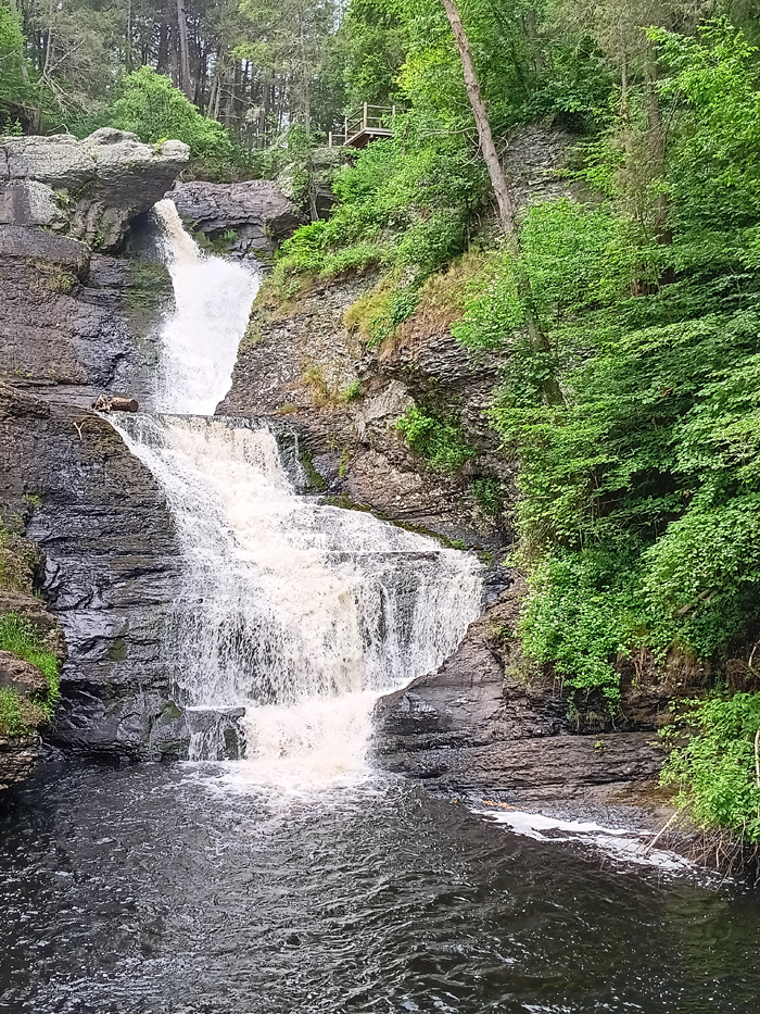
Raymondskill Falls lower tiers
Trip high point number 3: Mid-afternoon, we reached the aptly named High Point, New Jersey, 1,803 feet, located in High Point State Park. Finally, an actual mountain, albeit a small one. There is a War Memorial Obelisk at the peak, but entrance to the obelisk has odd hours, and arriving at 3:30, we were too late to go up. A ranger told us the view is actually better from below anyway. I can believe that, as the windows at the top looked tiny.
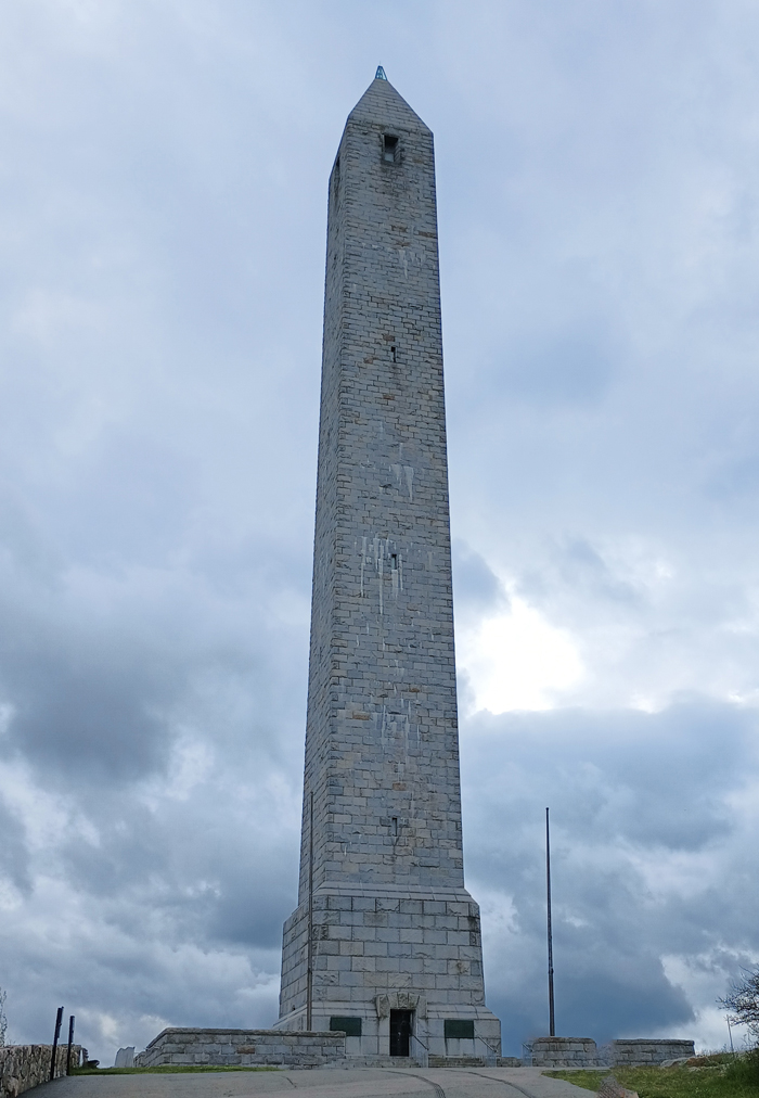
War Memorial Obelisk
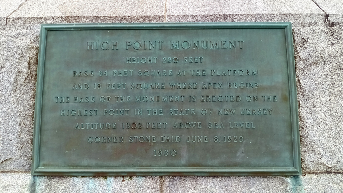
High Point, New Jersey
Scouting around, we found two survey markers, one on a wall at the base of the obelisk platform and a second one on a rock on the south side of the platform. The view was indeed nice, but we could see the rain moving in. Time to get moving!

Jana and Tom at the crown of New Jersey
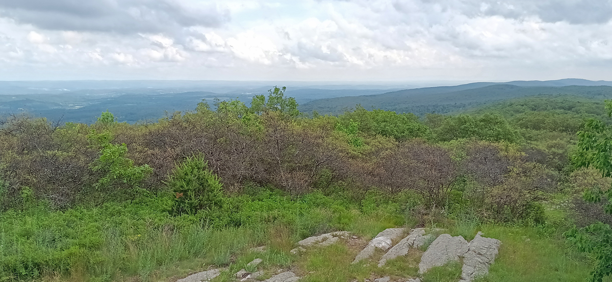
Lovely view of the Garden State
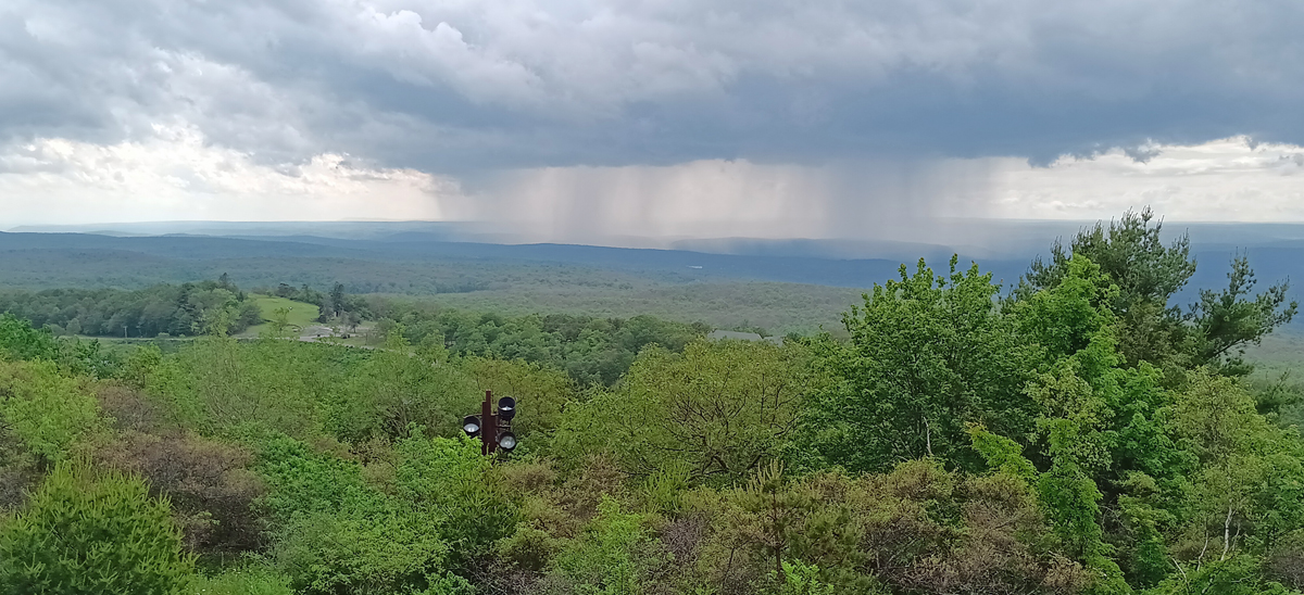
Here comes the rain
Around 5:00, we rolled into Ridgefield, Connecticut, to visit Tom's brother John, his wife Kathy, and their daughter Cailin. We'll be staying here and enjoying their hospitality for two nights. For dinner, John made pulled pork and pasta salad. Nice!
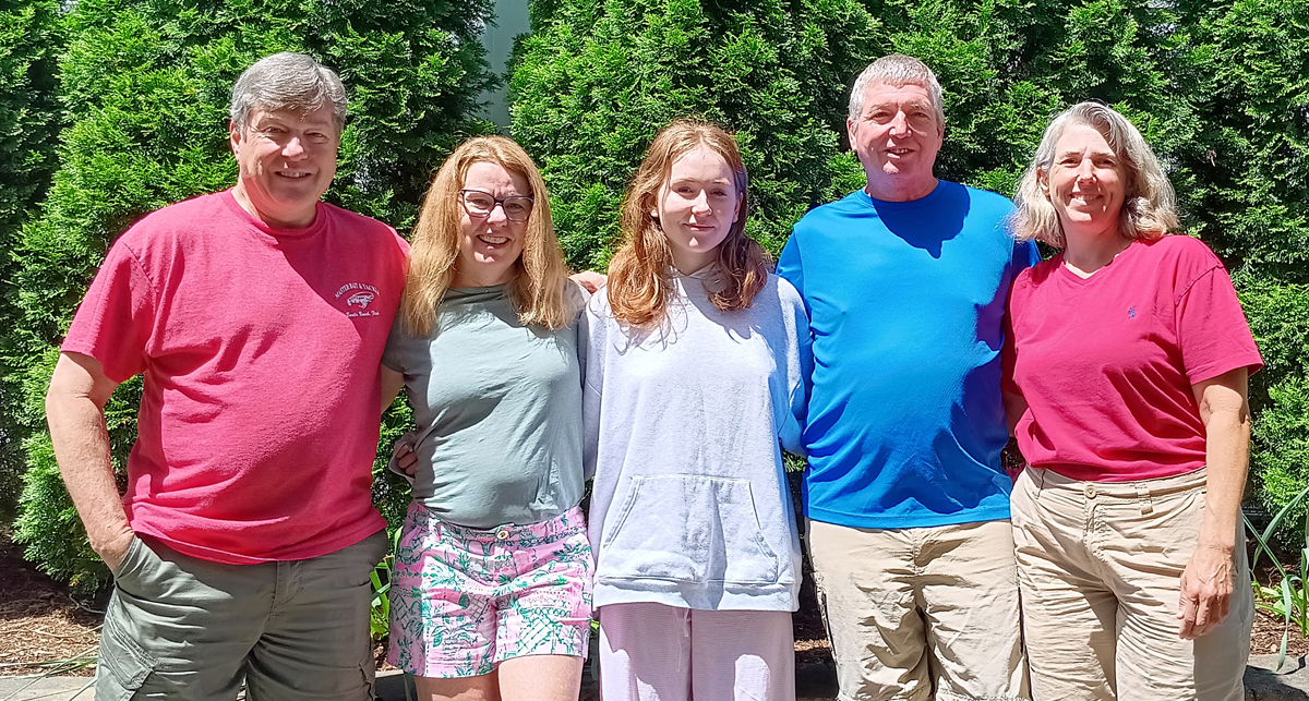
John, Kathy, Cailin, Tom, and Jana