Wednesday, September 9, 2015
Mt. Rainier
Since we decided to stay in Packwood again tonight, we didn't have
to rush getting on the road this morning. We ate a free, very small
breakfast in the lobby, then left Packwood at 10:30, heading for
Mt. Rainier National Park, only seven miles away.
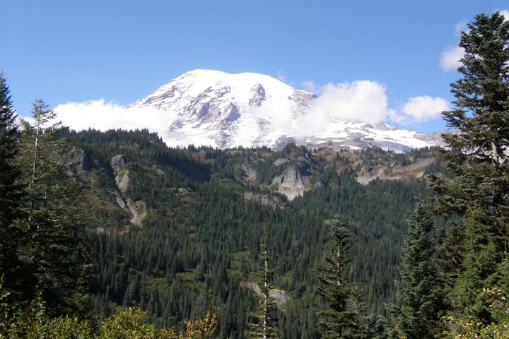
Mount Rainier, at 14,410 feet, is the tallest mountain in the
Cascade Range and one of the most massive volcanoes in the world.
Its summit is topped by two volcanic craters, each more
than 1,000 feet in diameter. Located just 54 miles southeast of
Seattle, Mt. Rainier is considered one of the most dangerous
volcanoes in the world.
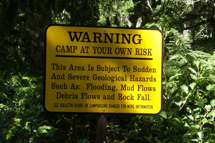
Active volcano - consider camping elsewhere!
We drove north along the eastern flank of the mountain, turned west
onto Sunrise Road, and “officially” entered the park (i.e. paid) at
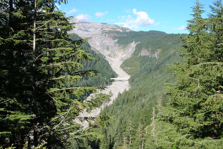
the White River Entrance. Partway down the road, we drove into the
White River Campground, alongside the glacier-scoured White
River.
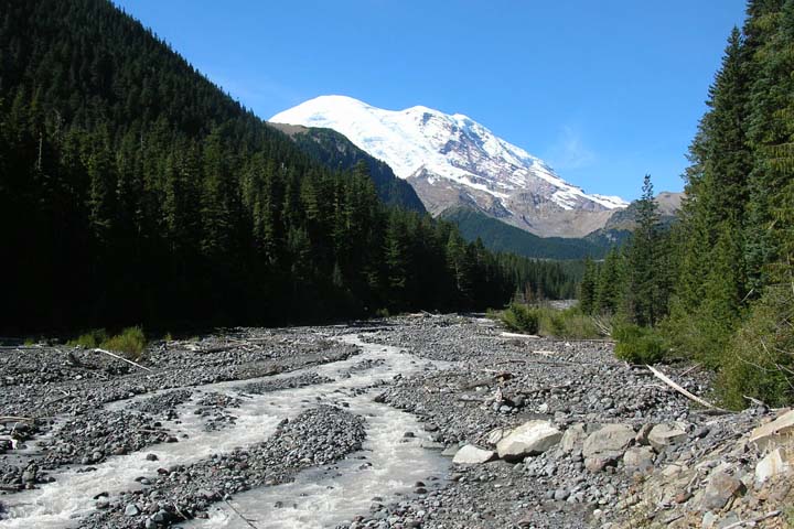
White River, Mt. Rainier
At Sunrise Point you get a spectacular panoramic view all the way
from Mt. Baker to Mt. Hood. At the end of Sunrise Road is the
Sunrise Visitor Center, at 6,400 feet, the highest spot
on Mt. Rainier that can be reached by car. There are a variety of
trails here, but we simply walked a few hundred yards to the Emmons
Glacier Viewpoint. The view just doesn't get any better than
that!
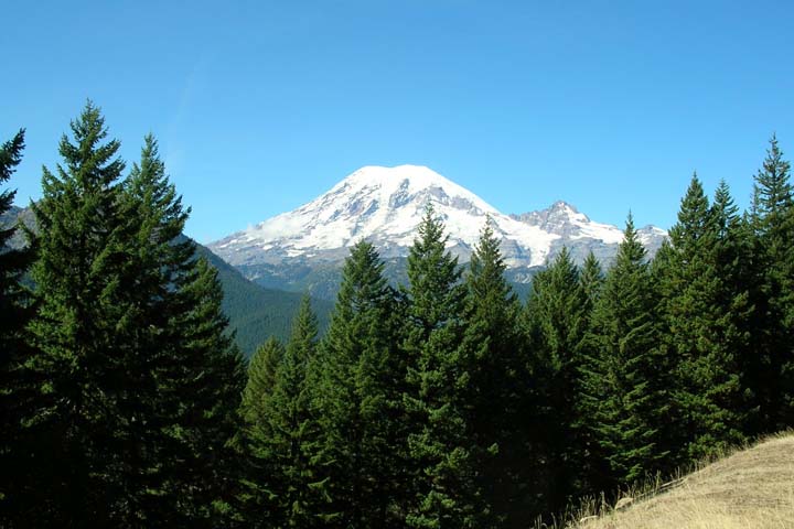
Mt. Rainier
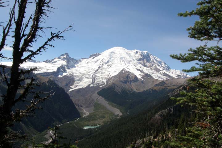
Emmons Glacier, Mt. Rainier
From Sunrise we backtracked to the southeast and entered the park
again at the Stevens Canyon Entrance, then headed west along the
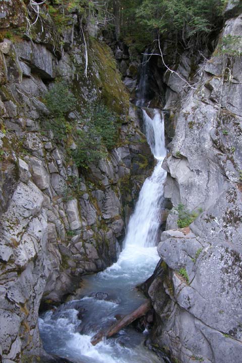
southern flank of the mountain. Along Stevens Canyon Road, we stopped
at the Box Canyon of the Cowlitz and then for a nice
picnic lunch with a good view of Mt. Adams, among other stunning photo ops.
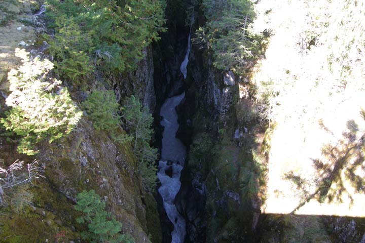
Box Canyon of the Cowlitz
Mt. Adams from our picnic table
Nisqually River Gorge
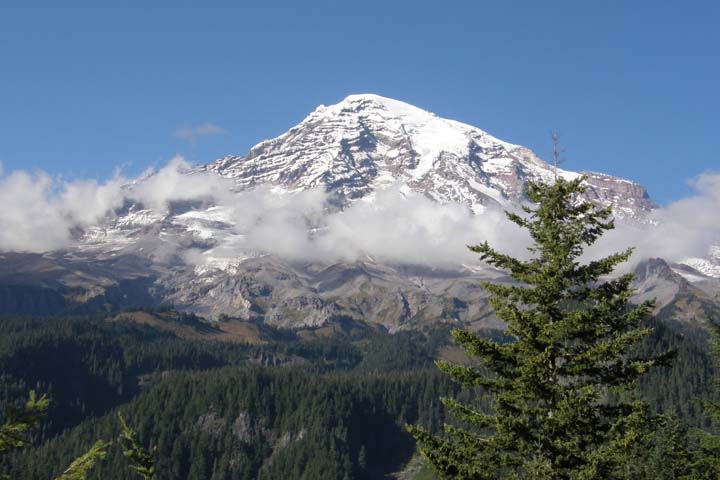
Finally we reached Paradise! That's the actual name of the place –
Paradise. Of course, it was lovely, as one might expect from a
place with such a braggadocious name. However, the clouds had moved
in, so these weren't the best views of the day, but there was some
lovely foliage here. It must be really windy at the top of the
mountain, because the clouds moved in and out (luckily mostly out)
all day.
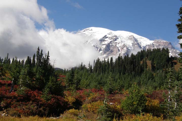
Mt. Rainier from Paradise
West of Paradise, we reached the 188-foot Narada Falls, pulled over
for even more fabulous photos of Mr. Rainier, and then took at
short hike to the bottom of the gorgeous, 69-foot Christine
Falls.
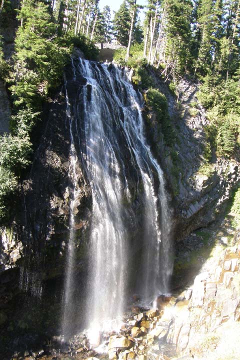
Narada Falls
Mt. Rainier
Christine Falls
We exited through the Nisqually Entrance, in the southwest of the
park, then turned onto Highway 52 and headed back east. We thought
the route would be scenic, but you really couldn't see past the
trees. Every once in a while, you'd catch a glimpse of Mt. Rainier, but
that was about it. Back in Packwood, we explored the town (it only takes
a few minutes) and took some fun photos.
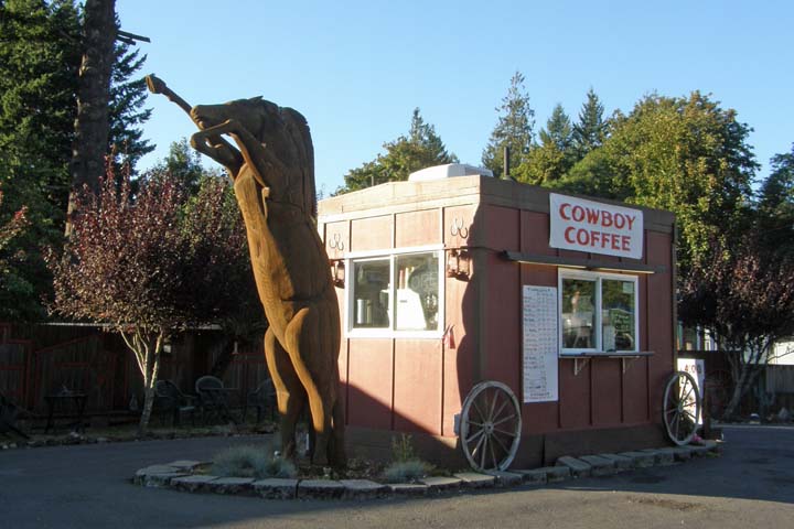
Packwood, Washington
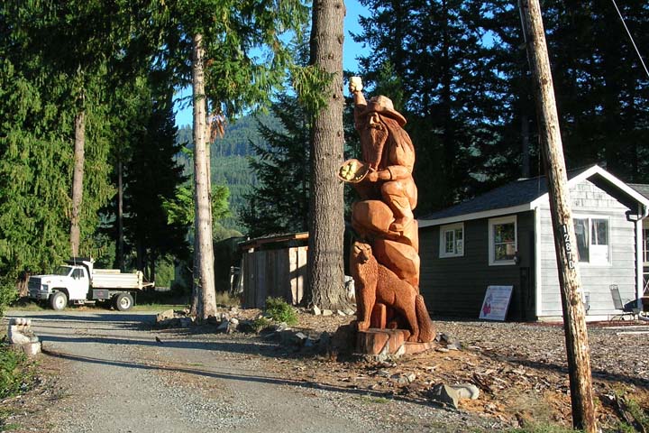
Packwood prospector
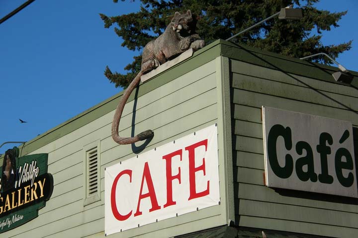
Cafe cougar
Tonight we returned to the Blue Spruce Saloon. Wednesday is taco
night at the Blue Spruce, three for $2.50. We ate a dozen
(they were small) and enjoyed a few beverages, Mirror Pond Pale
Ale and Deschutes Hefeweizen. Taco night was a hit. The Bluce Spruce was hopping!
|