Tuesday, September 14, 2021
Gaudineer Knob, Green Bank Telescope, Greenbrier River Trail
Today we left bustling Morgantown for “Nature's Mountain Playground” - rural and untamed Pocahontas County, a 942-square-mile county with a population of less than 7,900 and shrinking.
To break up the sinuous, stomach-churning drive south, we took a short detour to Gaudineer Knob, one of the highest summits in the Allegheny Mountains, elevation 4,449 feet. A secluded half-mile trail through a spruce forest thick with moss and ferns led us to a nice overlook.
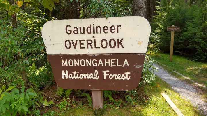
Gaudineer Scenic Trail
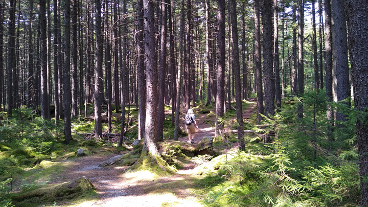
Rambling through the forest
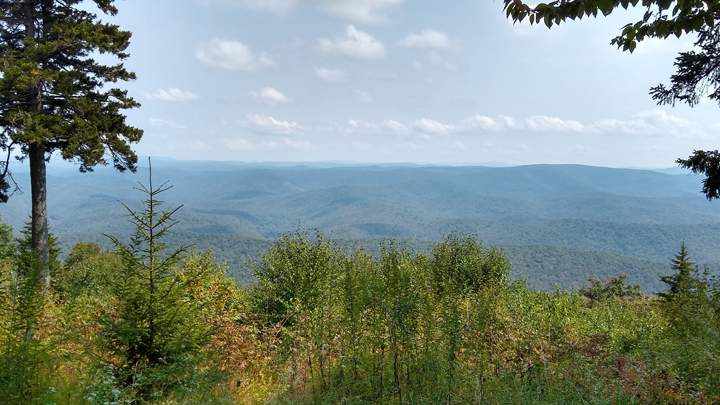
Gaudineer Knob Overlook
Leaving the knob, we returned to US 250 and crossed the ridge to Pocahontas County, which boasts the highest average elevation of any county east of the Mississippi. The drive over the Alleghenies was tough on Old Yeller, and we had to keep turning off the A/C to help power our way up.
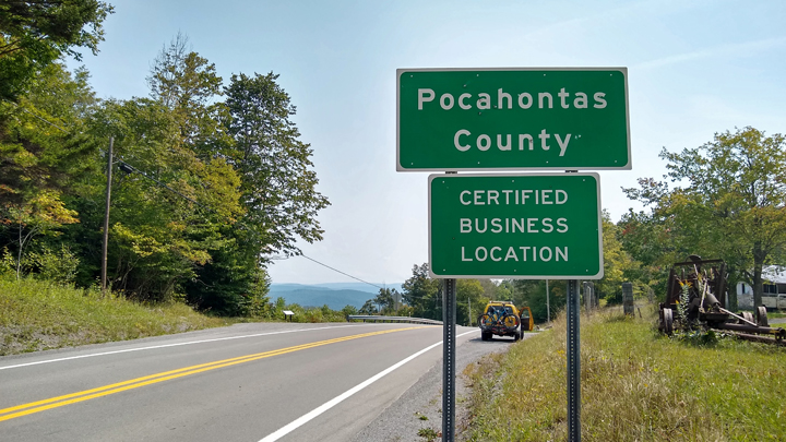
Giving Old Yeller a break at the county line
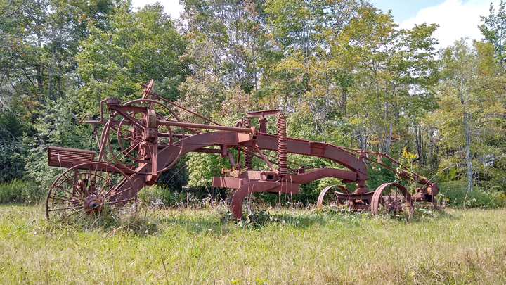
Rusty rustic plow
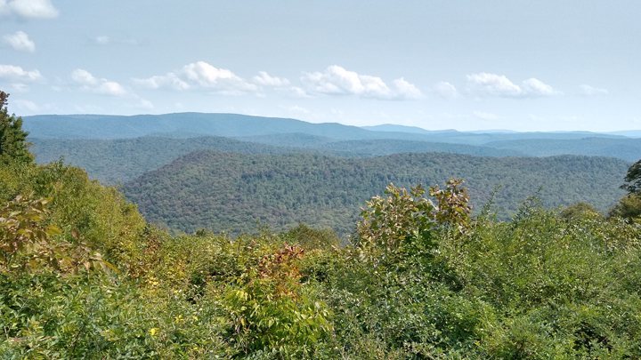
Allegheny Mountains
Most of Pocahontas County is encompassed within the 13,000-square-mile National Radio Quiet Zone, an area with severely restricted access to WiFi, cell phone, and other radio-wave-emitting gadgetry. Even GPS signals can be spotty here. In the most sensitive areas of the zone, residents even require special permission to own a microwave oven. Wow!
The truth is out there
The reason for the Quiet Zone is to minimize interference with the Green Bank Observatory, whose mission it is to capture faint natural radio signals being emitted from deep in outer space. The Green Bank Telescope is the largest steerable radio telescope in the world, 485 feet tall and weighing 17 million pounds. The dish of the telescope is 2.3 acres - as large as two football fields.
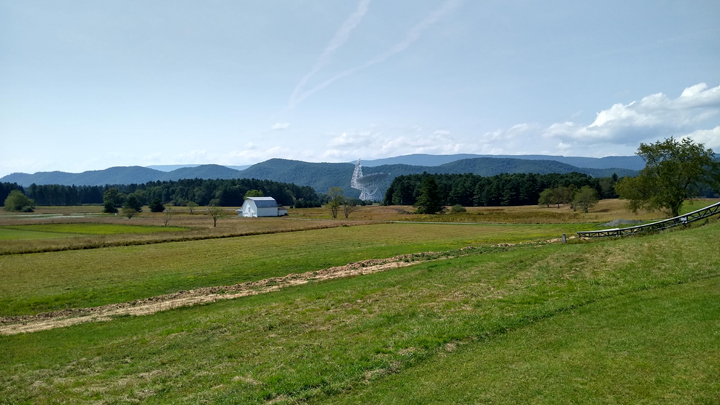
Ground zero of the National Radio Quiet Zone
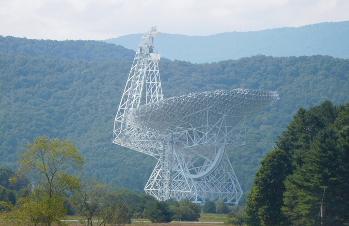
Green Bank Telescope
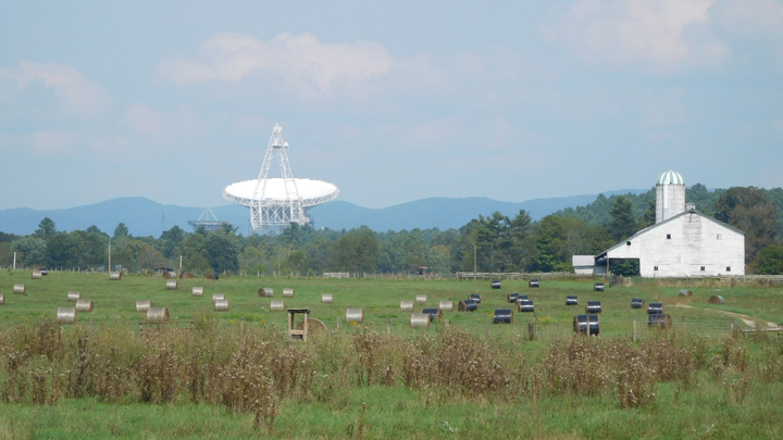
485 feet tall and 17 million pounds
The Greenbrier River Trail runs for 78 miles through some of West Virginia's most undeveloped country, crossing 35 bridges and passing through two tunnels along the way. Originally, we'd wanted to take three days and ride the entire trail one way, but trail-side lodging options are slim outside of Marlinton, and we couldn't work it out. Instead, we decided to cover just the portion of trail between Cass and Marlinton in two days of out-and-back rides.
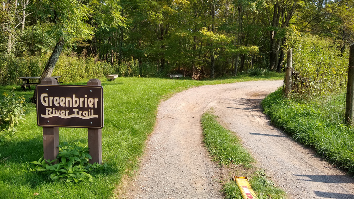
The longest rail-trail in West Virginia
By the time we reached Cass, at the north end of the trail, it was 3:00 in the afternoon, which didn't leave a ton of time for biking, but we decided to ride what we could. It was fairly warm today but very comfortable on the shady trail along the river.
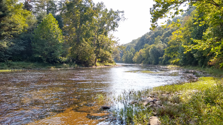
Greenbrier River
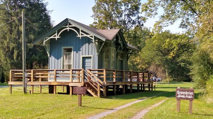
Clover Lick Depot
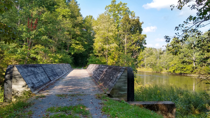
Funky bridge
Due to West Virginia's massive deer surplus, we wanted to be off the road before dark, and we still had a 45-minute drive ahead of us. So we turned around at mile marker 69.6 and returned to Cass, having ridden a total of 22.5 miles. To get a hotel tonight, we had to make it to Marlinton, the largest town in Pocahontas County, with a population barely exceeding 1,000.
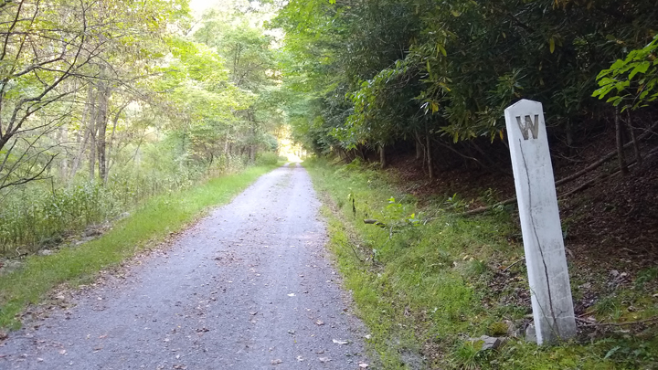
Whistle post along the rail-trail
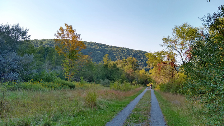
A bit of fall foliage
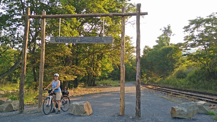
Northern trail terminus in Cass
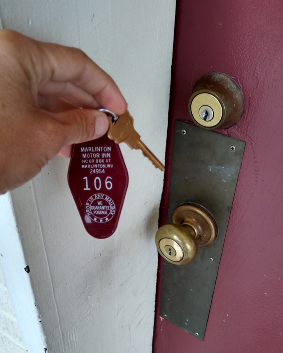
Lodging: Marlinton Motor Inn, four miles outside Marlinton, WV. The large rooms feature two beds and a fridge, but no microwave. Our room had a nice view of the swimming pool and mountains. No cell signal, but the motel has WiFi. We're here for two nights.
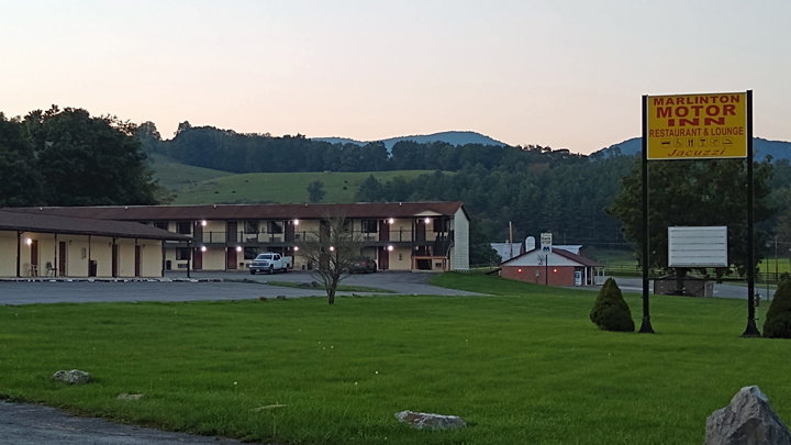
Beautiful setting
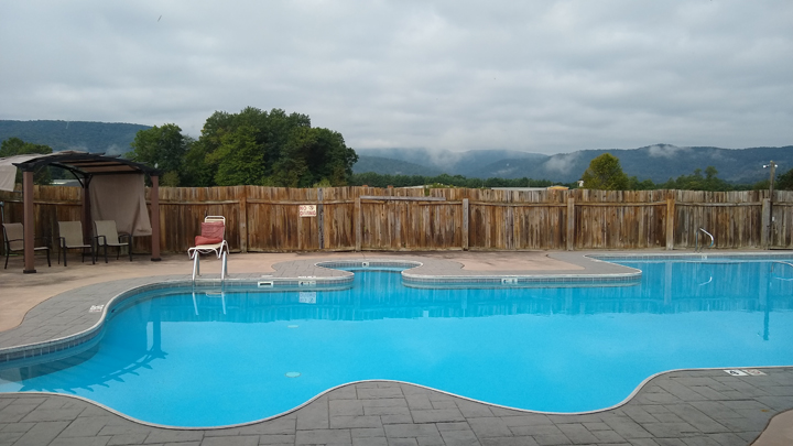
View from our room
The motel's restaurant seems to be permanently closed, but they still have a bar/lounge that serves pizza and a little pub grub. Alas, with limited hours nowadays due to Covid, the bar was closed till Thursday, and we're only here Tuesday night and Wednesday night. Rats! I'd been looking forward to drinking with some eccentric locals.
There are a few restaurants three to four miles away, but we'd had a long day and were done. We heated up cans of soup in the microwave in the motel lobby while chatting it up with the desk clerk.
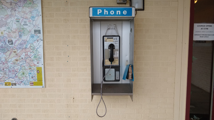
Going back in time
Seriously
Tom
Goetz's Homepage
|


