Saturday, May 23, 2020
Custer, South Dakota to Rapid City, South Dakota
Highlights: Iron Mountain Highway, Mount Rushmore, Badlands National Park, and Skyline Drive in Rapid City
Iron Mountain Road is spectacular! The 17-mile road runs through the Black Hills National Forest, linking Custer State Park to Mount Rushmore, winding through three stone tunnels and over three pigtail (spiral) bridges supported by massive wooden beams, to a 5,445-foot summit with a panoramic view of the mountains, including a distant view of Mount Rushmore. The morning was cool and overcast - perfect driving weather. Traffic was light, so we were able to park alongside the road for a perfect view of the big-headed presidents without entering the official Mount Rushmore National Memorial grounds.
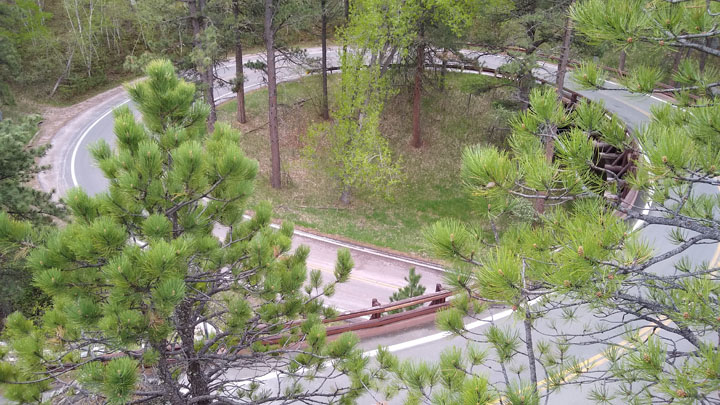
Pigtail bridge on Iron Mountain Road
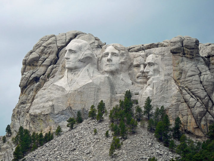
Mount Rushmore National Memorial
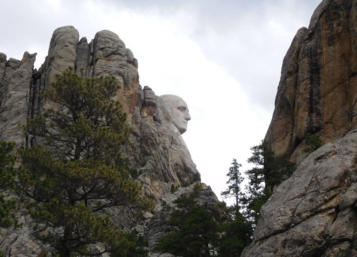
Washington's profile
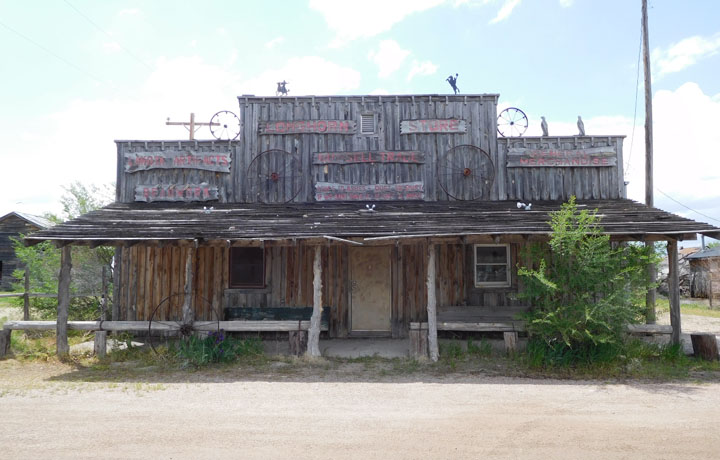
We reluctantly left the lush Black Hills and turned east toward the stark Badlands. The town of Scenic, South Dakota, is an ironically-named unincorporated community on the outskirts of Badlands National Park. Nothing was open when we passed through, but it made a good photo stop.
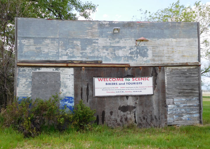
Scenic, South Dakota
Also Scenic
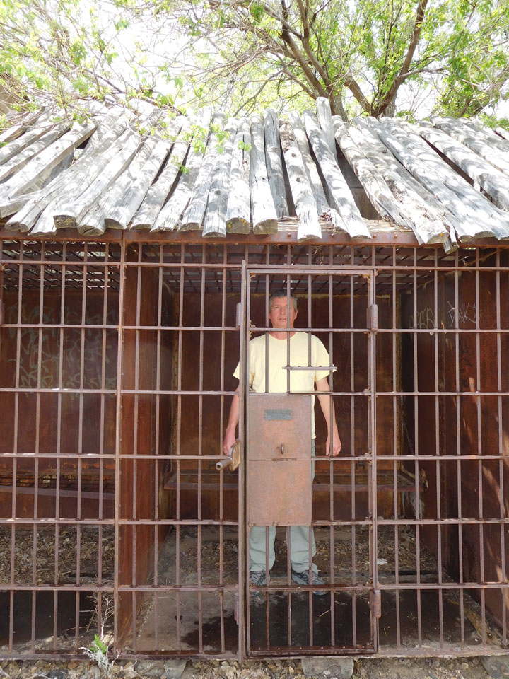
Tom tours Scenic
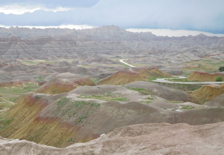
The less-visited Stronghold and Palmer Creek Units of the Badlands (aka the Southern Units) are mostly located within the Pine Ridge Indian Reservation, and though the national park was open, the southern portion was closed by Oglala Sioux roadblocks due to Covid, so we only went as far south as the otherworldly Sheep Mountain Road and then proceeded to the North Unit of the park.
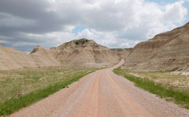
Sheep Mountain Road, Badlands National Park
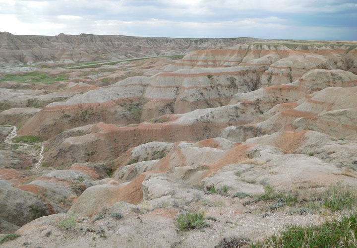
We entered the northern section of Badlands National Park through the southeast entrance and spend a wonderful afternoon driving the main road west through the park, making short stops at numerous overlooks which we had mostly to ourselves. Hiking plans were abandoned due to the foreboding weather, as we could see a thunderstorm moving toward us most of the afternoon.
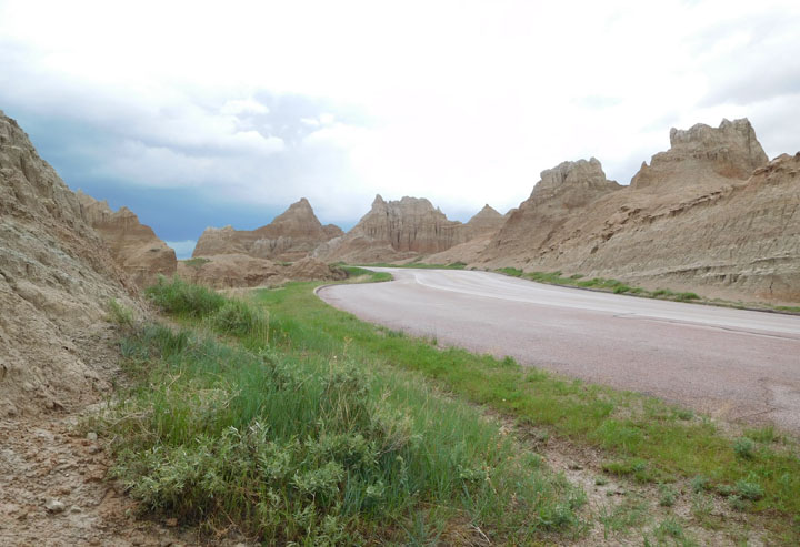
North Unit, Badlands National Park
Bigfoot Pass Overlook
Conata Basin Overlook
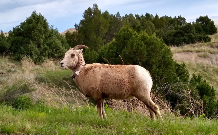
Rocky Mountain Bighorn Sheep
We got caught in a downpour between the Pinnacles park exit and Wall, SD, about a dozen miles away, where we were able to duck into a gas station until the storm passed. Luckily, the small but extremely loud hail didn't seem to damage my car. The famous Wall Drug Store was closed for the pandemic except for curbside pickup of actual medications, so we moved on from Wall once weather permitted.
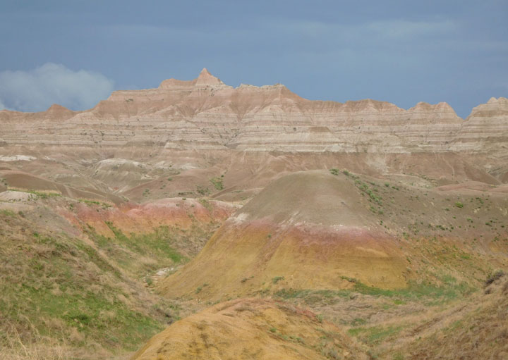
The sky darkens behind the Badlands
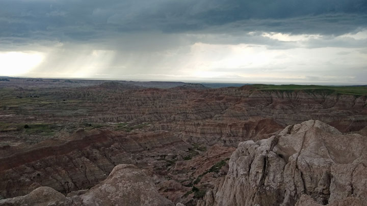
One last look before the storm
After checking into our motel in Rapid City, we drove the Skyline Drive, which passes through the Skyline Wilderness Area Park, including Dinosaur Park, and overlooks the city. We drove the road just before sunset and then explored downtown Rapid City from our car.
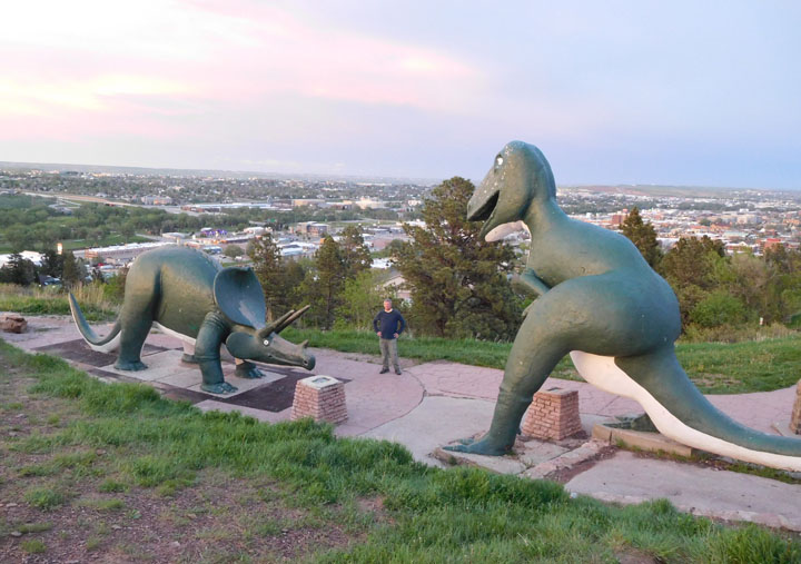
Dinosaur Park on Skyline Drive, overlooking Rapid City
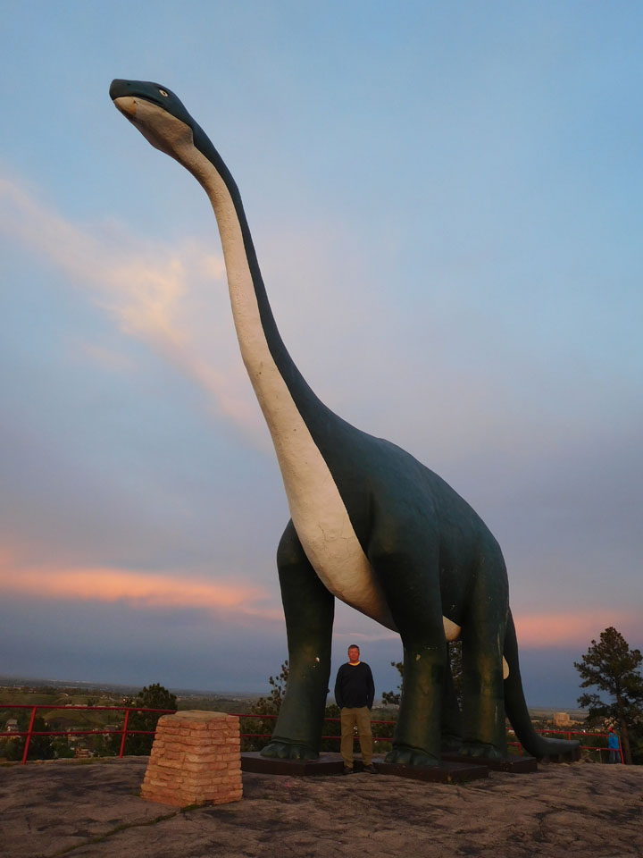
Tom and Dino
Lodging: Big Sky Lodge in Rapid City, a nice independent motel located at the southern end of Skyline Drive. On checking in, we were given a bag of fruit, muffins, and yogurt for breakfast, to avoid a crowded lobby in the morning. Much appreciated.
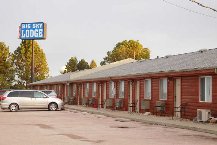
Tonight's abode
Driving distance: 269 miles. Looking forward to a shorter drive tomorrow...
Tom
Goetz's Homepage
|