Iceland Day 7 – Saturday, September 13, 2014
Mývatn, Hverir, and Krafla
After a filling Icelandic breakfast at Storu-Laugar, we headed to the geologically active region surrounding Lake Myvatn, 30 kilometers to the east. The lake is encircled by a 40ish-kilometer road. We spent the day following that road counterclockwise, starting from the southwest shore, with a short detour northeast of the lake to visit Hverir and Krafla.
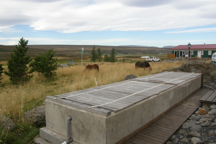
Stóru-Laugar hot pot
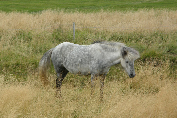
My little pony
The first point of interest we came to was Skutustadagigar, where we hiked a pleasant trail around a pond adjacent to the lake, through interesting, grass-covered cones. When burning lava encountered the wetlands here a couple of thousand years ago, it heated up the water below and created eruptions of steam that burst through the lava and formed these so-called pseudocraters.
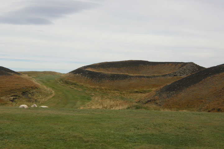
Skútustaðagígar pseudocraters
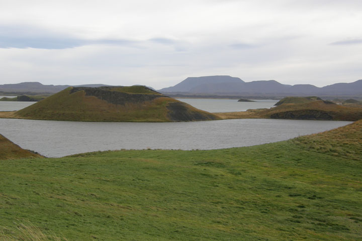
Skútustaðagígar pseudocraters at Mývatn
Continuing east around the lake and then north, we shortly reached the Kalfastrond lava pillars on the shore of the Hofdi peninsula, where we took a short lakeside stroll past strange stack-like lava formations and tiny islets in the lake.
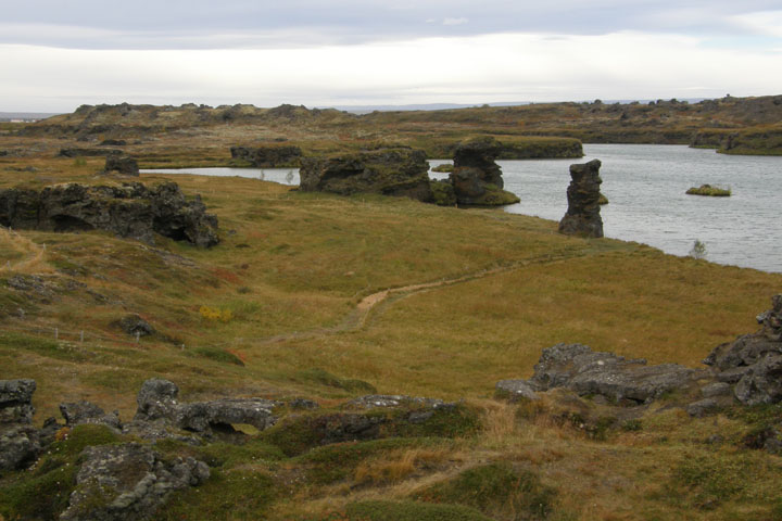
Kálfaströnd and Höfði
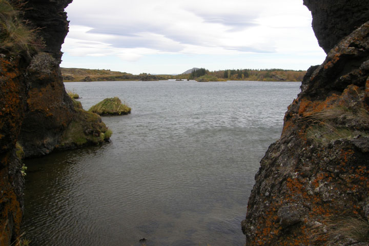
Lake Mývatn
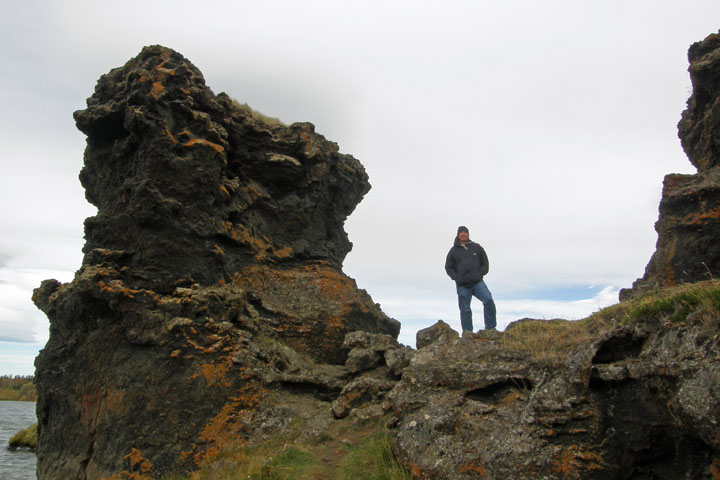
Tom at Kálfaströnd
At Dimmuborgir lava field, we encountered tour buses disgorging hordes (for Iceland) of tourists for the first time since the south coast, but we got away from them by selecting one of the longer trails through the area. We spent an hour hiking the lovely Kirkjan (Church) Trail through striking lava formations and interesting foliage.
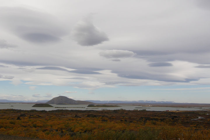
Cool clouds over Mývatn
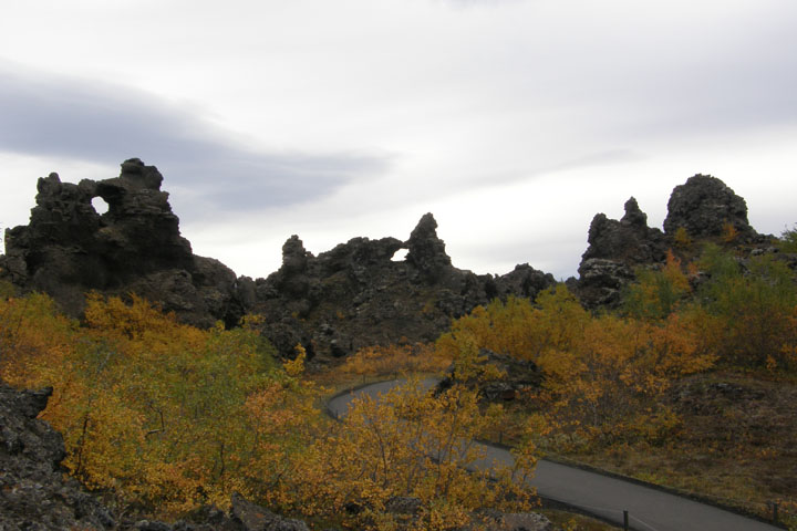
Dimmuborgir lava field
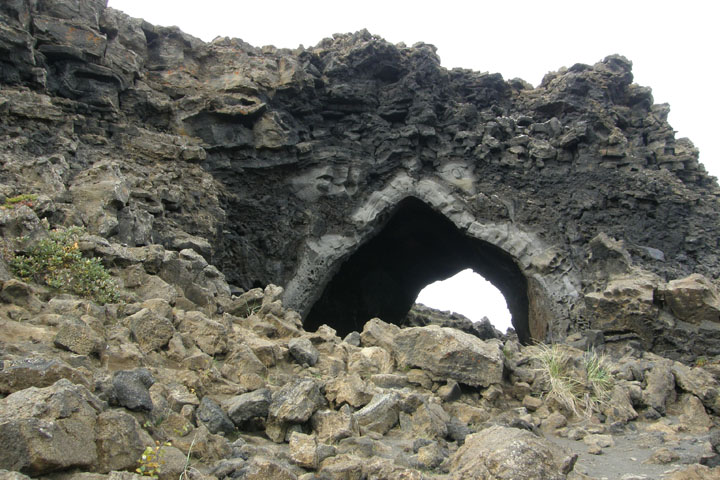
Kirkjan lava cave
Next we debated whether or not to tackle a short but steep hike up loose gravel to the crater rim of Hverfell (also known as Hverfval). In the end, we couldn't resist the massive symmetrical mountain dominating the eastern edge of Myvatn. It was worth the effort, even though the top of this crater may have been the windiest place I've ever been! We didn't feel like we had time to hike all the way around the edge of the crater, and with the wind, I didn't care to anyway, so we just went up to the rim and came right back down.
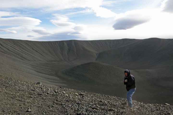
Tom on windy Hverfell
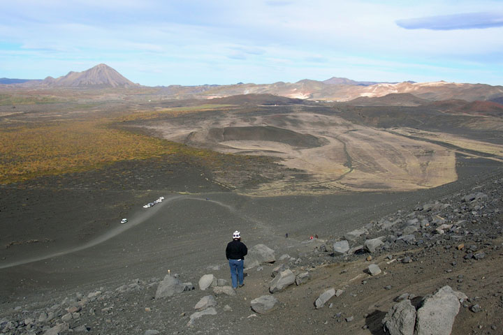
Jana on the steep descent
In the small town of Reykjahlid we got gas and visited the TI. As usual, we came across the tourist information center well into our exploration of the area. Often we find it just as we're leaving. The gentleman there was very helpful in prioritizing the rest of our day. There's so much to see around Myvatn!
Grjotagja is a small cave containing a thermal spring. At 113 degrees, the water is too hot to bathe in, but it is absolutely stunning to look at. The sun filters through cracks in the roof, illuminating the interior. After this, we ventured a short way north and east, away from the lake, to visit a bunch more interesting sites.
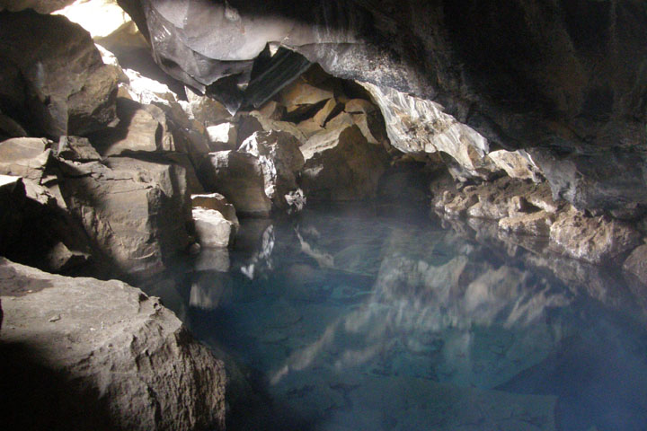
Grjótagjá
Hverir, located on the east side of Namafjall Mountain, is one of the biggest geothermal fields in Iceland. There are a few off-limits areas, vaguely indicated with bits of string, but otherwise you're free to wander at your own peril through the otherworldly landscape of hot springs, boiling mudpots, and hissing, steaming fumaroles wreaking of sulfur. I've seen bigger geothermal features at Yellowstone, but here you're allowed much closer to the steaming danger!
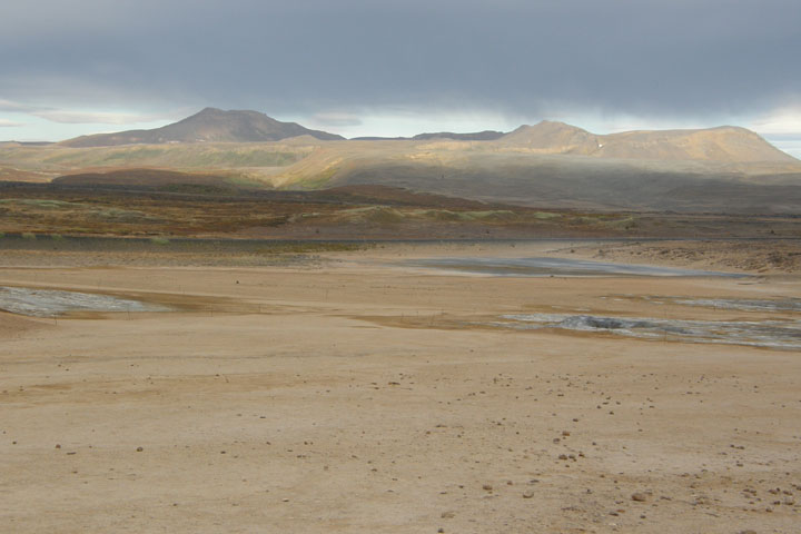
Hverir Valley
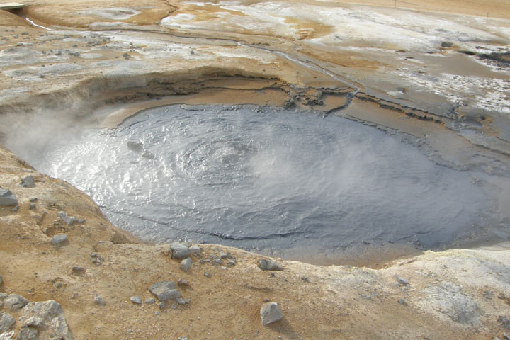
Bubbling mud
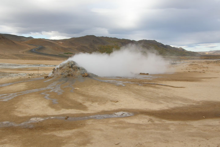
Steaming fumarole
Just northeast of Hverir, we reached the active volcanic region of Krafla. You enter the area through the fields of the Kroflustod Geothermal Power Station, even passing under some steam tubes that have been diverted over the road. Then the road climbs up Mt. Krafla as far as Viti Crater, home to a gorgeous crater lake.
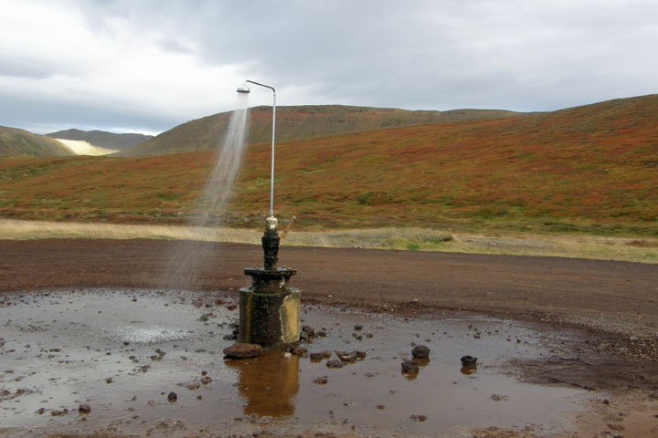
Random roadside shower
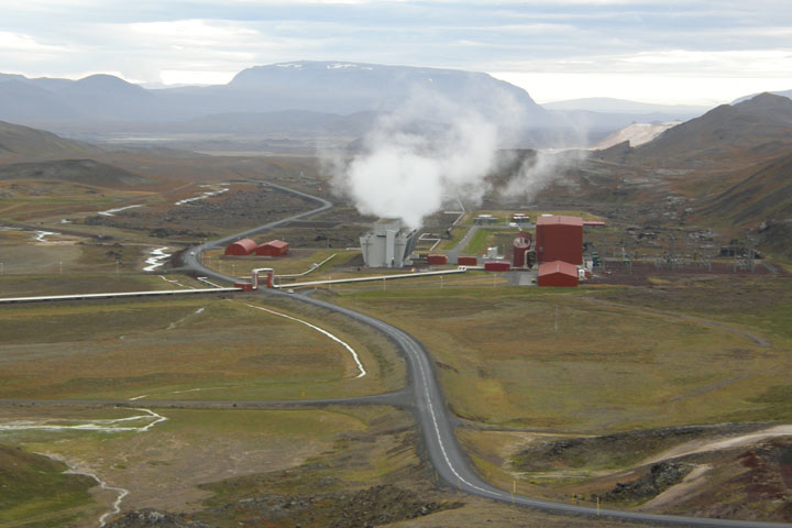
Kröflustöð Geothermal Power Station
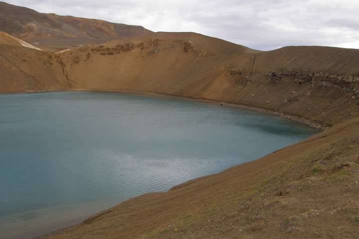
Víti Crater
Then, after days of flirting with the currently erupting volcano, we decided to stop pussy-footing around about it, and we spent the next two hours hiking through the volcanic calderas of Leirhnjukur and Hofur, still smoldering from their last eruption in 1975. This is Krafla's most impressive, and likely most dangerous, attraction. The earth's crust here is thin, and the ground is hot. We tried hard not to stray from the marked path, but at times the path was somewhat unclear!
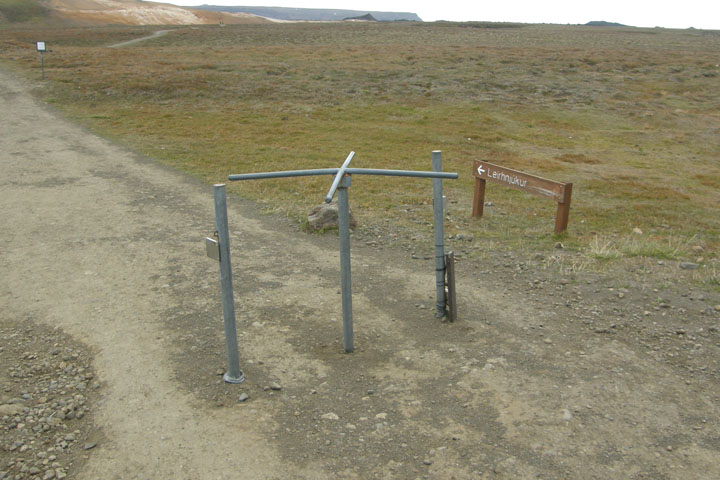
Leirhnjúkur trail entrance, with inexplicable turnstile
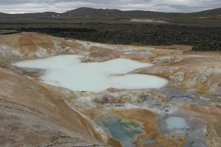
A milky thermal pool at Leirhnjúkur
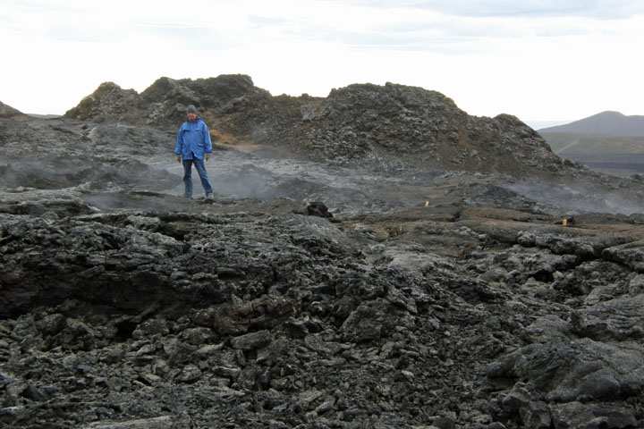
Tom inside a smoldering volcano
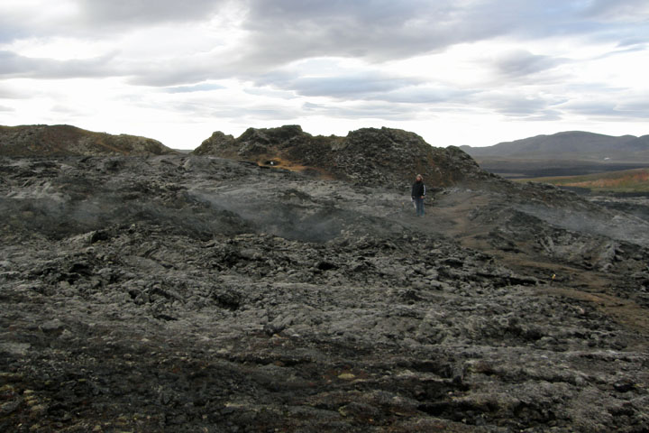
Jana, not to be outdone
After the caldera hike, it was time to head back. Yesterday we spotted a pizza joint near our guesthouse, but they're only open till 8:00, and we were getting hungry. Completing our counterclockwise trip around Myvatn, we pulled over at the northern end of the lake for a look back at Hverfjall, and again at the western shore to take a photo of the noxious plume being emitted from the eruption in Holuhraun.
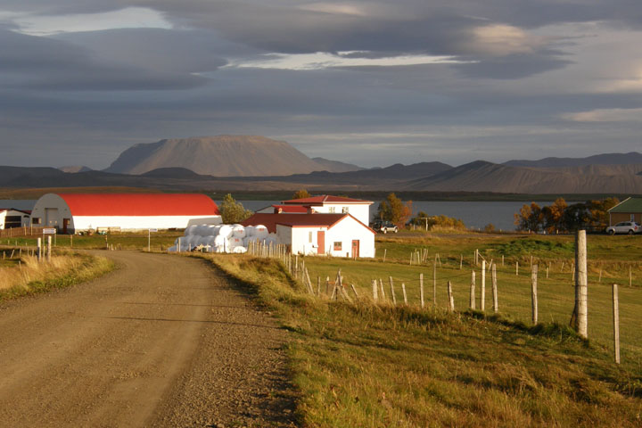
Hverfjall, from across Lake Myvatn
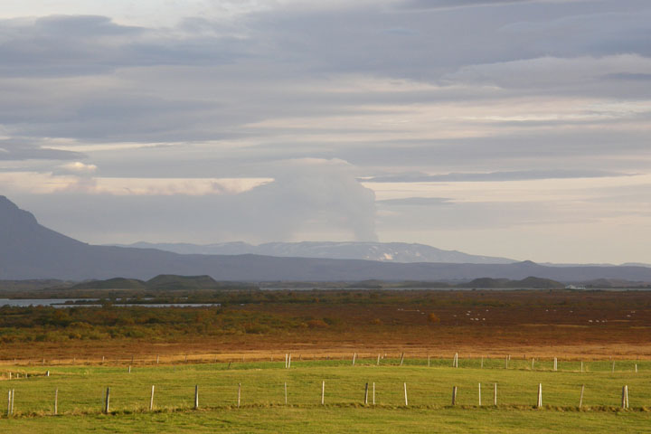
The Holuhraun volcanic plume
We ate dinner at Dalakofinn Restaurant, a little place in Laugar connected to the N-1 gas station and frequented by locals. They served other types of food too, but we chose a “carnivore” pizza with pepperoni, ham, and hamburger for 3,400 ISK ($28), high for a pizza, but dirt cheap for a meal for two in Iceland. Winning! We waited till we were back in our room to have some affordable beers.
Back at the guesthouse, we were planning to get in the hot pot again tonight, but some fools got in there with their baby, and it surely got contaminated with baby piss. These geothermal pools and hot tubs aren't chlorinated in Iceland, and people are expected to enter them exceptionally clean. Well, you can't control the cleanliness of a baby, idiots. Tom was livid.
No Northern Lights tonight, but from outside our room we could see a red glow in the night sky from the red-hot lava of the erupting volcano reflecting in the clouds above.
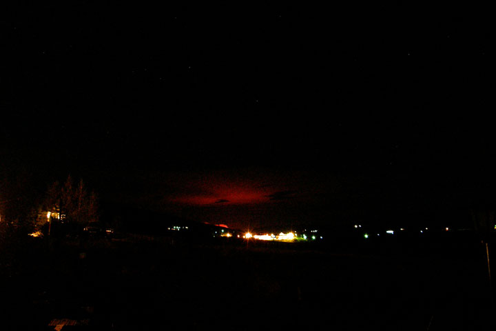
Red sky at night, sailor's delight
|


