To continue driving south through Chile requires a car ferry – either that or a monstrously long detour via Argentina. The ferry was a linchpin of our trip, and for months I'd nervously awaited the day the website would begin accepting reservations for January, which they finally did on December 1. Yay! Then we just had to hope for decent weather and fair sailing.
It rained overnight and we awoke to low-hanging clouds, but they soon burned away and the weather was beautiful!
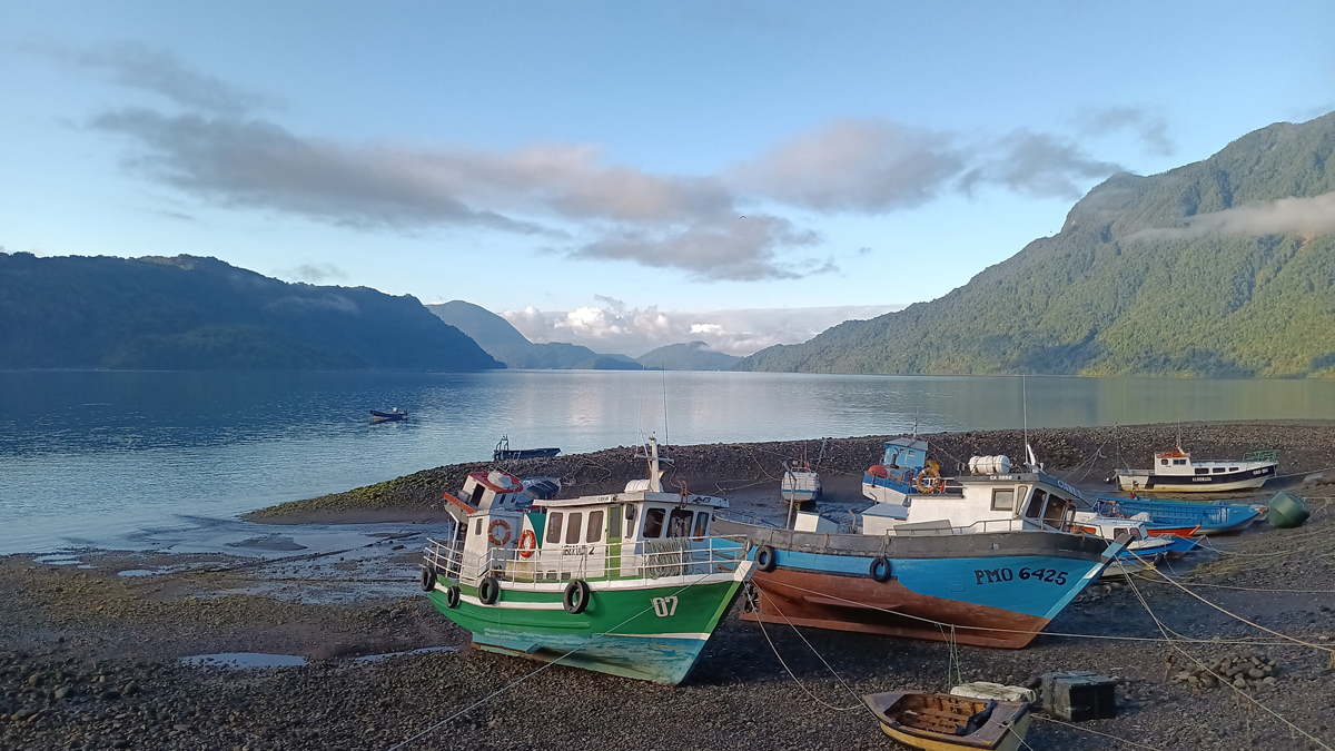
Hornopiren waterfront
The bimodal ferry between Hornopiren and Caleta Gonzalo is an integral part of the Carretera Austral and is actually two synchronized ferries, sold with a single ticket. The first ferry goes from Hornopiren to Leptepu, on the Huequi Peninsula, and takes about 3 ½ hours. There you unload and drive 15 minutes across the peninsula to Fiordo Largo, where you board a second ferry to Caleta Gonzalo, which takes another 45 minutes or so.

Our ferry awaits
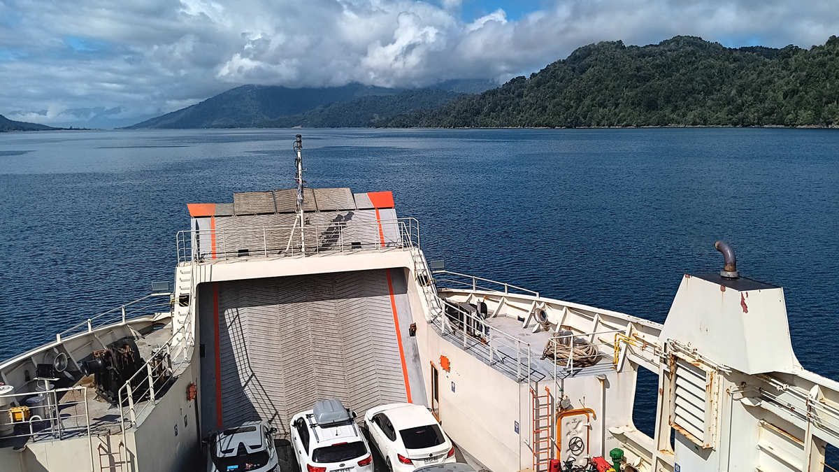
Aboard the first ferry
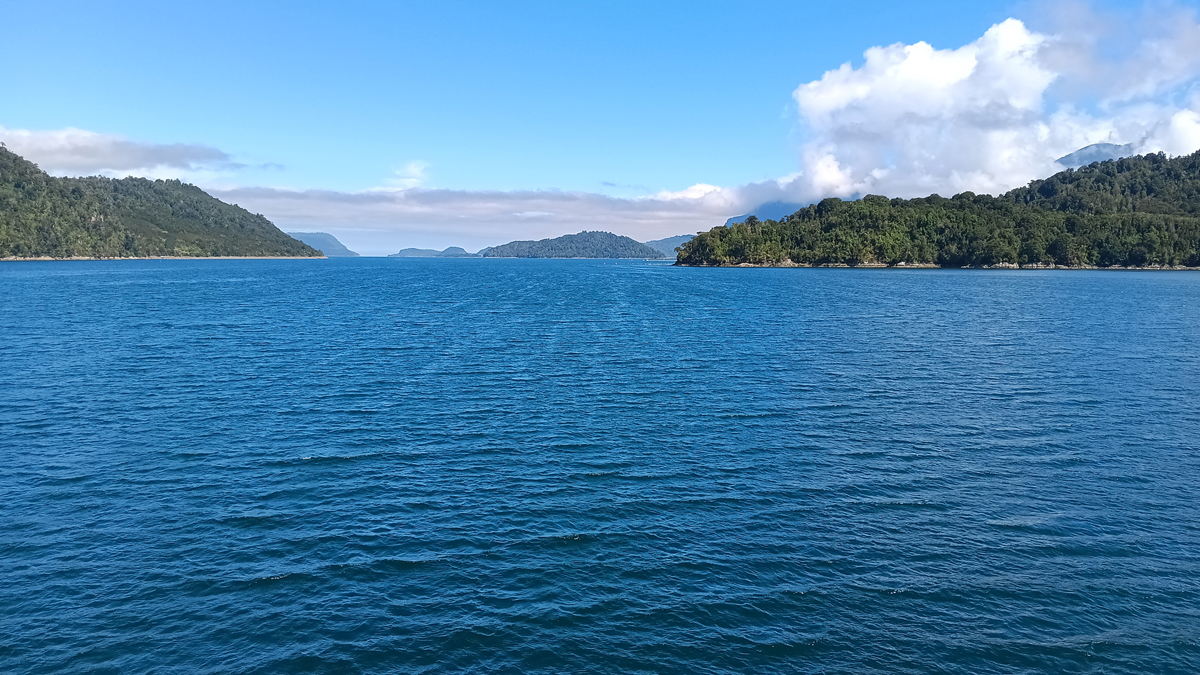
Through the fjord

Between soaring islands and the mountainous mainland
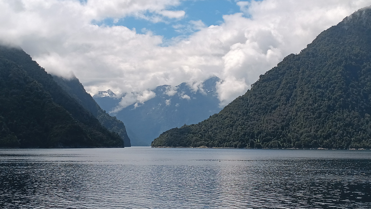
A narrow channel
The journey through the fjords passed through forest-blanketed, snow-topped mountains with waterfalls cascading down and was a taste of the views to come for the rest of our trip. We spent the entirety of the ferry ride on the open deck in the full sun, realizing later we should have packed some sunscreen...

Isolated islet
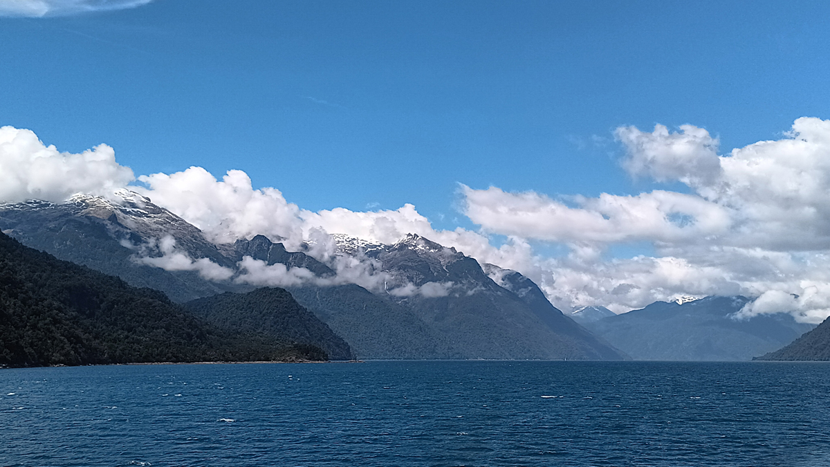
Southern Andes
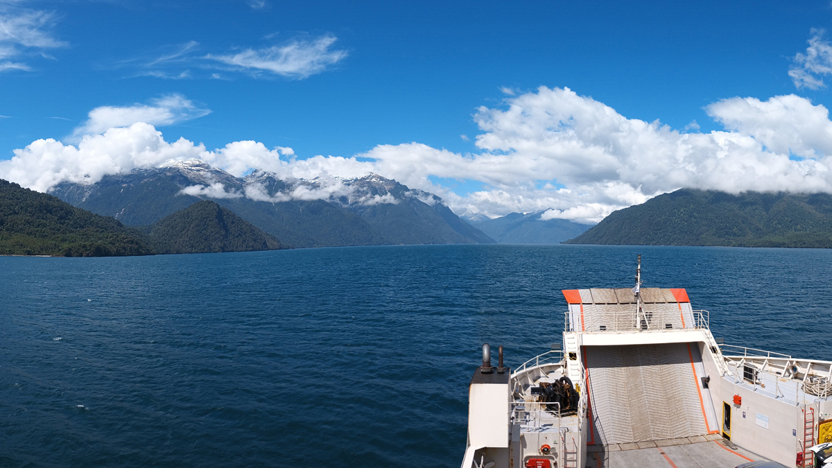
Fair weather for the ferry

Tom enjoys the ride

Road crossing between ferries
Shortly after boarding the first ferry, we met Katherine, who was in the midst of riding her motorcycle from the US to Ushuaia, Argentina, a journey of 22,000 miles. Specifically, she and her partner Brandon had started their ride in her home town of Chattanooga, Tennessee, making us almost neighbors. She asked if we'd be willing to take some postcards back to the US to mail to their friends and families. Well, of course!
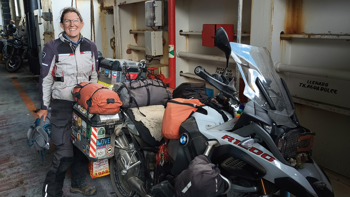
Katherine with her loaded bike

Brandon makes a friend
The exact boundaries of Patagonia are debatable, and we officially started our drive on the Carretera Austral yesterday, but it wasn't until we exited the second ferry today that, in our minds, our epic road trip through this legendary region truly began. It was even more isolated and remote here than we'd anticipated. Sweet!
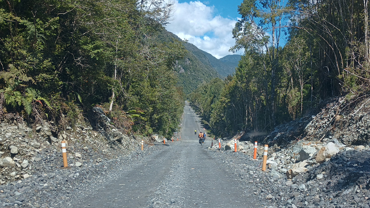
The Carretera Austral
This part of the Carretera passes through Parque Nacional Pumalin Douglas Tompkins. Pumalin National Park completely bisects the country west to east and was one of the largest private parks in the world before it was donated to Chile by American philanthropists Doug and Kris Tompkins' Conservation Land Trust in 2017. There are some great hiking trails here, and we chose two.
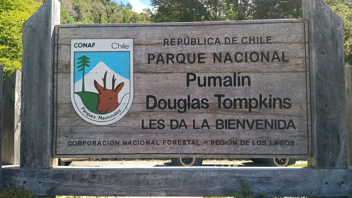
Pumalin National Park
Sendero Los Alerces is a short trail through a small forest of alerce, large trees reminiscent of redwoods, some of them 3,000 years old. Over the last 200 years, the alerce has been cut almost to extinction for its valuable lumber, but the remaining stands are now protected, and the tree is slowly making a comeback. It's going to take a looooong time.
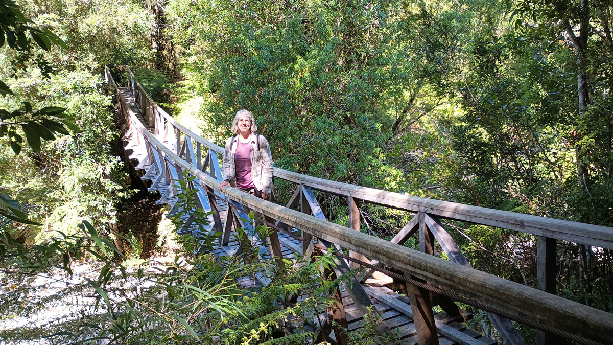
Jana on the Sendero Los Alerces

Towering alerce trees
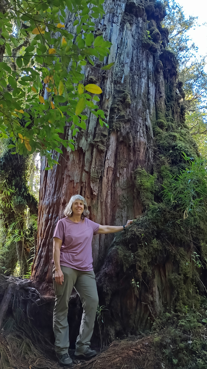
Jana and a tremendous trunk
Sendero Cascadas Escondidas is another short trail, leading to some impressive waterfalls. The path consists mostly of steep stone steps, wooden boardwalks, and increasingly steep wooden ladders, all covered in slick moss and in need of maintenance – making it fun and dangerous! There are lower and upper waterfalls trails (bajas and altas). The ferry ran an hour late today, so we only had time to hike to the cascasas bajas. It was great!

Our second hike in Pumalin

Stony steps

Steep and sketchy ladder

Cascadas Escondidas Bajas
A little further south, we passed Volcan Chaiten. This volcano had a massive eruption in 2008, causing devastation to the nearby town of the same name. The residents have slowly returned and rebuilt, but I'm sorry to say the newly built town lacks much character. Although we visited during high season, the place was like a ghost town.
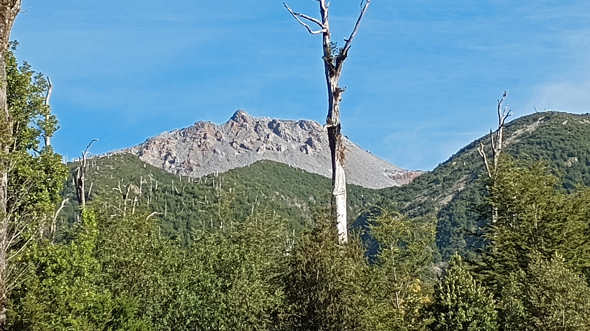
Volcan Chaiten
In Chaiten (pop. 3,500), we stayed at Tranqueras del Monte, where we had a nice, comfortable room with a private bath. The walls of the B&B were paper thin, but the breakfast was exceptional. We met a fellow American here, Tim, who we agreed to give a ride to our destination tomorrow.
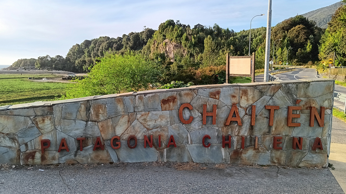
Town of Chaiten, recently rebuilt
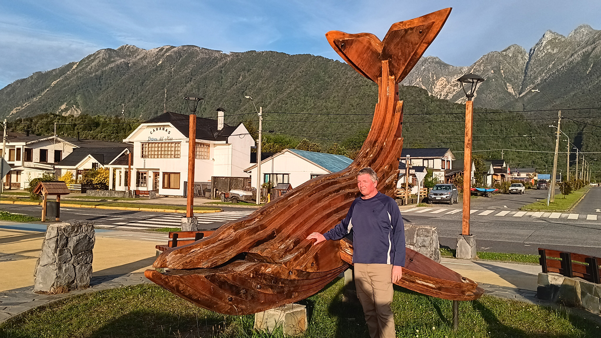
Tom and Moby Dick
Mileage: 70 km (and perhaps 120 km by sea)