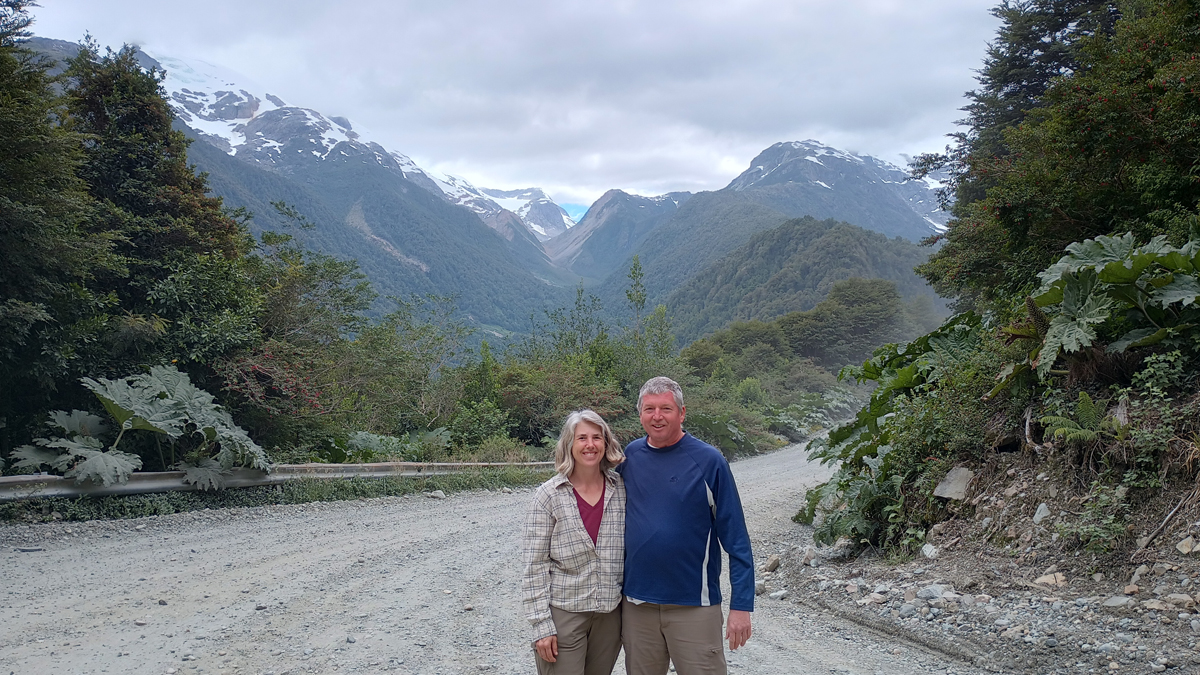
Our focus for this trip was Chilean Patagonia and its legendary road, the Carretera Austral (“Southern Highway”), which runs for roughly 1,270 kilometers through Chile's southern realm, connecting this otherwise isolated region to the rest of the country. The Carretera is sandwiched between the Pacific Ocean to the west and the southern Andes Mountains to the east, and its scenery is a wonder – snow-covered mountains, glaciers, fjords, forests, and countless lakes and rivers of every shade blue.
Until recently, southern Chile has been disconnected from the rest of the country, reachable only by sea or via Argentina. Sometime in the 1970s, former President Pinochet decided connecting this remote region to the rest of Chile was important – especially since Chile and Argentina don't always get along – and the roadwork began. Today, it's possible to travel by car throughout the length of Chile without having to pass through Argentina, though this still involves multiple ferries and hundreds of kilometers of gravel (“ripio” in Spanish).

Jana and Tom in Patagonia
From Chile's capital city of Santiago, we flew 1,000 kilometers further south to Puerto Montt, where we rented a car and our epic road trip began. Two ferries, two tire repairs, and yet another 1,000-plus kilometers south, we reached Cochrane, Chile – not quite the end of the road, but the end of our time.
Backtracking on the Carretera to Puerto Montt would be slow going, so we then crossed the border into Argentina and drove north via the paved and much faster Ruta 40. The Patagonia region is drier and flatter on the Argentina side, beautiful in its own way and more like the Patagonia I'd always imagined.
We began and ended our trip in Santiago, Chile's cosmopolitan capital. The population of Chile is around 19 million people, 7 million of whom live in the Santiago area. It was fun to explore.