
Today, we continued on the Carretera as far as Cochrane before returning to Puerto Guadal for the night. This was the end of our time on the Carretera Austral, but not nearly the end of our trip.
The southernmost point of the Carretera Austral is Villa O'Higgins, another 230 km further than we would go, but beyond Cochrane, the road quickly begins to deteriorate, and things become logistically more difficult. Another ferry crossing is necessary at Puerto Yungay, and once you finally reach Villa O'Higgins, with no road crossing into Argentina, there's no choice for those with a vehicle but to start heading back.
Driving through Patagonia
We'd barely started today's drive when we had to halt for some road construction. The delay happened to be in a beautiful spot next to an arm of Lago Bertrand, so we got out to look around. One of the construction workers kindly offered to take our photo. Just as the road was opening back up, Tom spotted some puma prints in the wet sand.
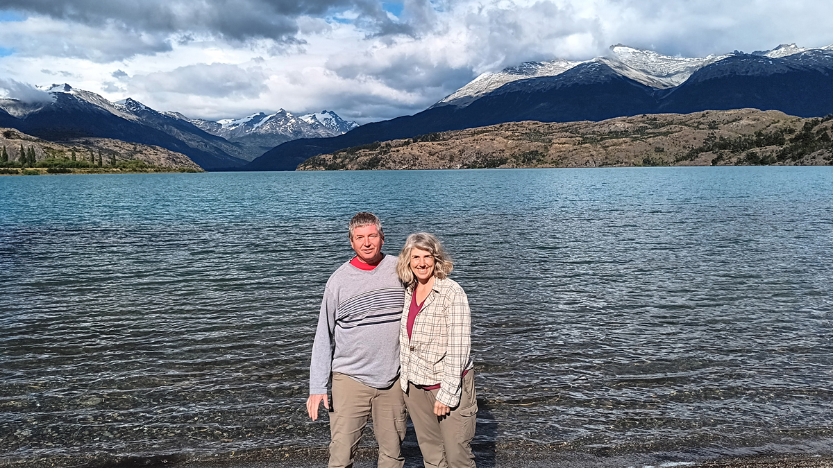
Tom and Jana at Lago Bertrand

Fresh puma print
At Puerto Bertrand, we had our first sight of the Rio Baker, Chile's largest river by volume, which carries the water of Lago General Carrera to the Pacific Ocean. We then followed this captivating river all the way to Cochrane.

Fast-flowing Rio Baker

Breathtakingly blue
A dozen kilometers past Puerto Bertrand, we took a mile-long hike to the confluence of the Rio Baker and the Rio Neff. The thundering, 30-meter-high rapids of the Rio Baker above the confluence can supposedly be navigated by kayak, though only by true experts. You'd have to be suicidal!

Trailhead to the confluence

Confluence of Rios Baker and Neff

Kayak at your own risk
A few more kilometers brought us to a mirador overlooking the confluence of the Rio Baker and Rio Chacabuco. It was a short hike to the viewpoint. We didn't walk all the way down to the confluence far below.
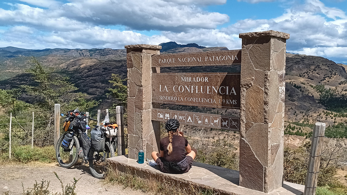
Bikepacker break
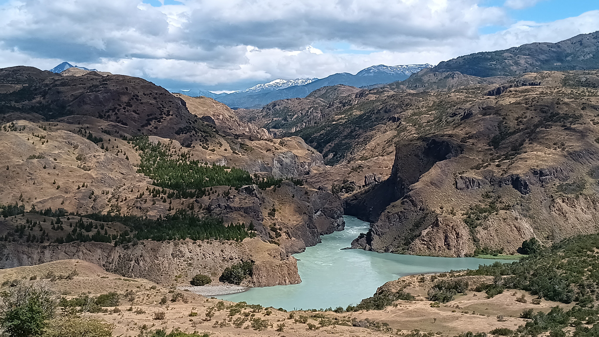
Confluence of Rios Baker and Chacabuco
Finally, we reached Cochrane (pop. 3,000), the southernmost point of our trip and our southernmost point of all time! To be precise, we turned around at latitude 47°15'23.19"S, which is further south than any point in Africa or the South Island of New Zealand. In comparison, an equivalent latitude north would be found in the northernmost reaches of Maine or Duluth, Minnesota. We celebrated this milestone with a picnic.
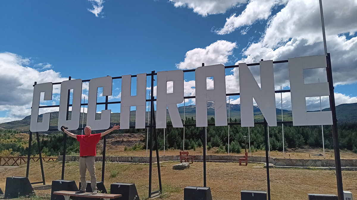
Tom in our southernmost "city"

Town of Cochrane

View south from our southernmost point
On our way back to Puerto Guadal, we drove into Parque Nacional Patagonia, Valle Chacabuco sector. In the past, this valley was utilized for large-scale sheep farming, and the overgrazing was severe. The unsustainable estancias were gradually bought up by Tompkins Conservation and the fences removed so that native animals could roam free, and today wildlife abounds. In 2018, Valle Chacabuco was donated to the Chilean government and merged with two adjacent national reserves to form one large national park.
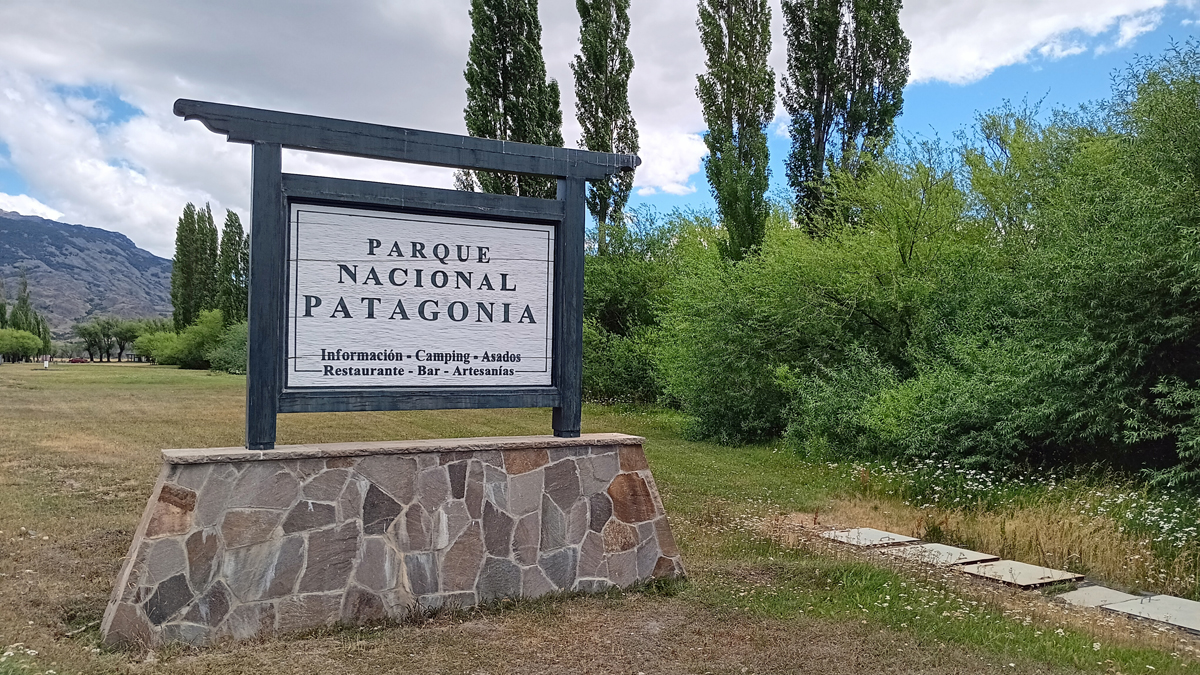
Patagonia National Park
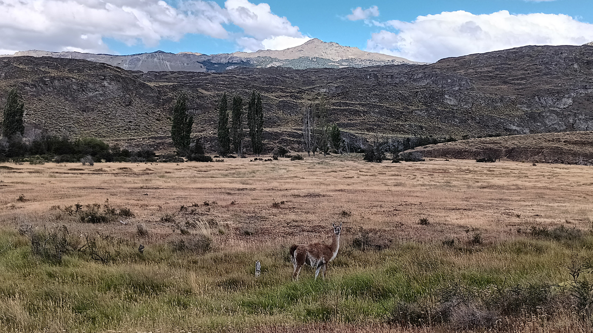
Guanaco, related to the llama

Present by the dozen
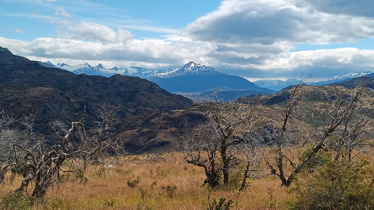
Chacabuco Valley
Leaving the park, we picked up a couple of hitchhikers going to Puerto Bertrand, two women in their 20s, one from Chile and one from the Netherlands. They approached us as we were stopped for a second round of road construction getting back on the Carretera, and how could we say no?
This was our second and final night in Puerto Guadal. The sky was dark and clear, so we walked to the pier near our cabaña to enjoy the Milky Way. We saw upside-down Orion and the Southern Cross and so many stars!
Mileage: 167 km